Back to the librarykm 1–2km 3–4km 6–6km 11–12km 15–17km 19–19km 19–20km 21–25km 26–30km 31–34km 49–54km 60–61km 61–62km 65–66km 67–68
GravelMade by RouteCasterRound trip
Rondje Le Rioumau en La Selves
Distance
70 km
Ascent
1,359 m
Highest point
1,323 m
35% paved
Start from your location
Ride there from home: we find the shortest way to the loop and start the loop from there.
The ride
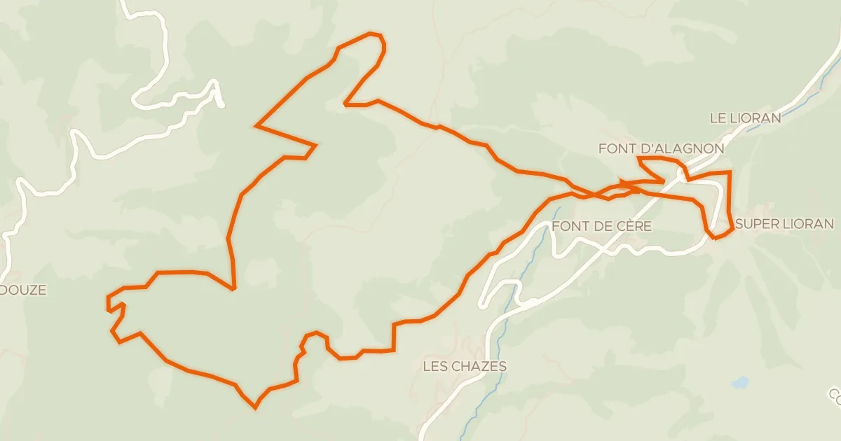
This ride sets off from Alpuech and follows the water: past the river La Selves, on to the river Le Rioumau, then the river Le Lebot and the Ruisseau de Ruols stream, before turning back to Alpuech. Along the way you take in 1359 m of climbing across a route that is mostly unpaved. It adds up to a lively loop with plenty of ups and downs to keep the legs working.
Climbs
Climb 1Hill
0.5 km at 5.6% · max 11.3%
Climb 2Hill
1 km at 5.3% · max 8.5%
Climb 3Hill
0.6 km at 6.3% · max 10.6%
Climb 4Hill
1.3 km at 3.2% · max 8.7%
Climb 5Cat. 4
2.7 km at 3.5% · max 11.6%
Climb 6Hill
0.5 km at 5.5% · max 9.5%
Climb 7Hill
0.5 km at 8.9% · max 14.4%
Climb 8Cat. 4
4.2 km at 3.1% · max 7.5%
Climb 9Cat. 3
4.4 km at 3.7% · max 11.3%
Climb 10Cat. 4
2.9 km at 5.2% · max 14.1%
Climb 11Cat. 3
4.8 km at 4.6% · max 14.9%
Climb 12Hill
1 km at 3.5% · max 9.5%
Climb 13Hill
1.1 km at 5.9% · max 11.9%
Climb 14Hill
1.1 km at 4.2% · max 9.4%
Climb 15Hill
1 km at 4.1% · max 11.3%
Routes nearby

Road bike100% paved
Rondje Château de Cropières en La Truyère
69 km↑ 1,383 m16 km away

Road bike100% paved
Rondje Château d'Estaing en Le Lot
77 km↑ 1,403 m19 km away

Road bike100% paved
Rondje Château du Jarry en Château de Paulhac
68 km↑ 861 m26 km away

Road bike100% paved
Rondje Château de Conros en La Cère
89 km↑ 1,337 m32 km away

Gravel38% paved
Rondje Château de Pesteils en La Cère
66 km↑ 1,886 m33 km away
Touring
VTT-FFC- N°7 - Tour du Griou
21 km↑ 850 m37 km away
Col du Gliziou · Col de Font de Cère