Back to the librarykm 18–22km 27–29km 36–40km 48–50km 52–52km 60–62km 62–69
Road bikeMade by RouteCasterRound trip
Rondje Château de Cropières en La Truyère
Distance
69 km
Ascent
1,383 m
Highest point
1,073 m
100% paved
Start from your location
Ride there from home: we find the shortest way to the loop and start the loop from there.
The ride
This ride rolls out of Pailherols and back again over 69.2 km, with 1383 m of climbing along the way. You pass through the Parc naturel régional des Volcans d'Auvergne, then ride by the Château d'Estresses. Next comes the Parc naturel régional de l'Aubrac, followed by the La Truyère and La Bromme rivers. The loop closes past the Château de Cropières and returns to Pailherols, all on paved surface.
Climbs
Climb 1Cat. 3
4.1 km at 4.8% · max 14.4%
Climb 2Cat. 4
2.6 km at 3.6% · max 12.8%
Climb 3Cat. 3
3.9 km at 6.2% · max 31.3%
Climb 4Cat. 4
2.6 km at 4.9% · max 11.8%
Climb 5Hill
0.8 km at 3.5% · max 8.6%
Climb 6Hill
1.4 km at 3% · max 13%
Climb 7Cat. 2
7.1 km at 4.6% · max 14.4%
Routes nearby

Gravel38% paved
Rondje Château de Pesteils en La Cère
66 km↑ 1,886 m13 km away
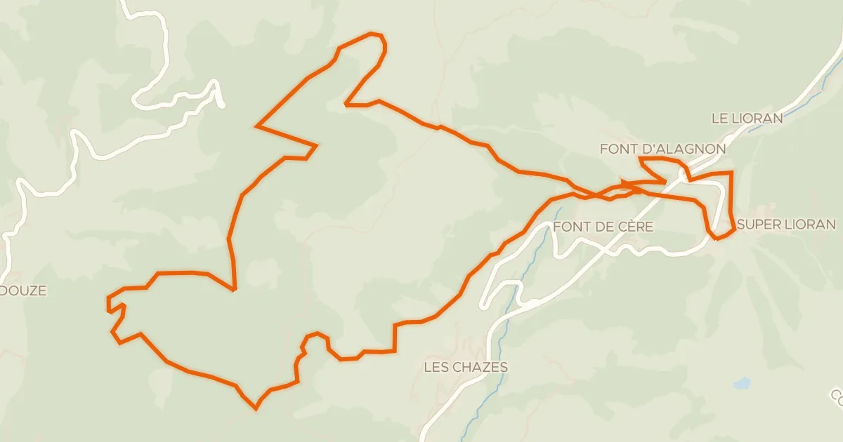
Touring
VTT-FFC- N°7 - Tour du Griou
21 km↑ 850 m15 km away
Col du Gliziou · Col de Font de Cère

Road bike100% paved
Rondje Maison du Bailliage en Château de Lamargé
70 km↑ 1,970 m17 km away

Road bike100% paved
Rondje Château du Jarry en Château de Paulhac
68 km↑ 861 m21 km away
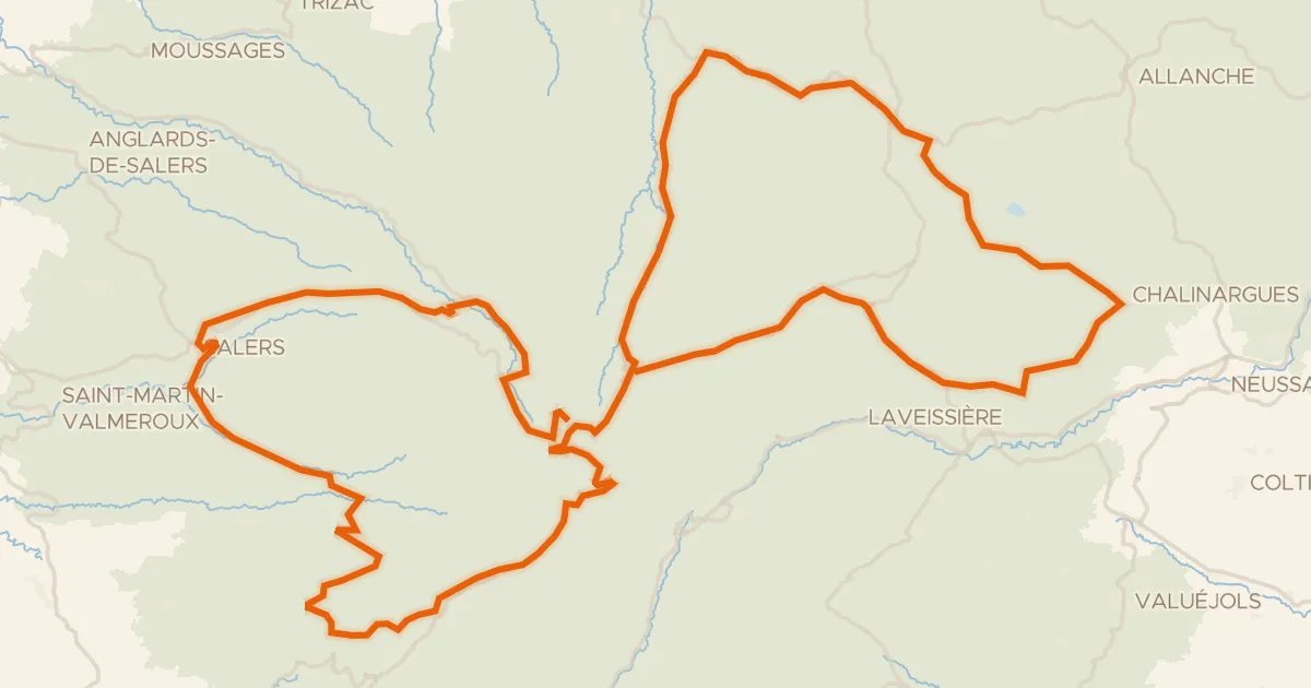
Road bike100% paved
RBX Boucle Volcan du Cantal
139 km↑ 3,272 m21 km away
Col de Bruel · Col de Néronne
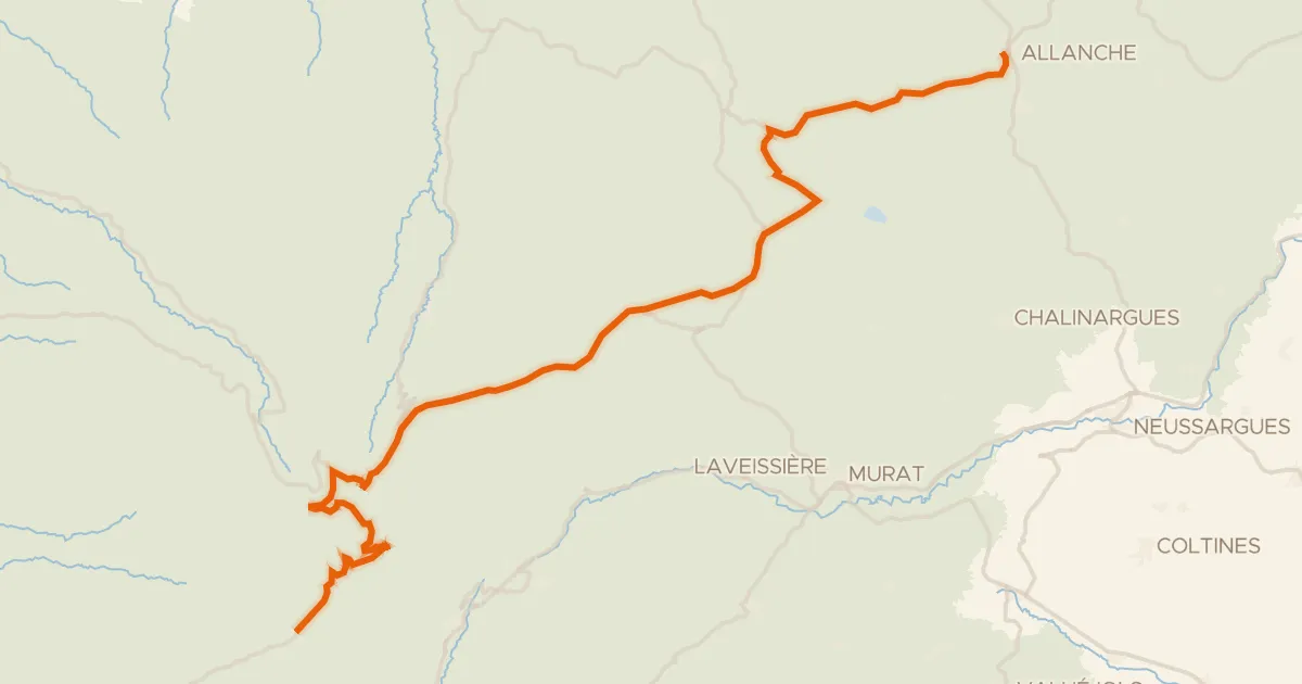
Road bike98% paved
La Grande Traversée du Volcan à Vélo, étape 4, Mandailles-Saint-Julien / Allanche
43 km↑ 1,021 m24 km away
Col d'Eylac · Pas de Peyrol