Back to the librarykm 2 · Oct 2026 · © paddy257 / Mapillary, CC BY-SA km 30 · Jul 2026 · © walldi222 / Mapillary, CC BY-SA km 51 · Feb 2025 · © vinisa / Mapillary, CC BY-SA km 68 · Aug 2026 · © mfa / Mapillary, CC BY-SA km 2–5km 62–63
Road bikeRouteCasterRound trip
Rondje langs Schloß Thor en Struffelt
Distance
84 km
Ascent
941 m
Highest point
454 m
100% paved
Start from your location
Ride there from home: we find the shortest way to the loop and start the loop from there.
The ride
Roll out from the Münsterbachtal parking and straight into the nature reserve of the same name, then on past Schlangenberg and the Kluckensteine. After Struffelt's reserve comes the castle stretch: Schloß Thor, Vlattenhaus, Haus Amstenrath and Maison Vis-à-Vis. It's 83.6 km, all paved, with 941 m of climbing. Back to where you started.
Along the way
Climbs
Climb 1Cat. 4
2.9 km at 3.9% · max 8%
Climb 2Hill
1.3 km at 3.1% · max 6.3%
Routes nearby
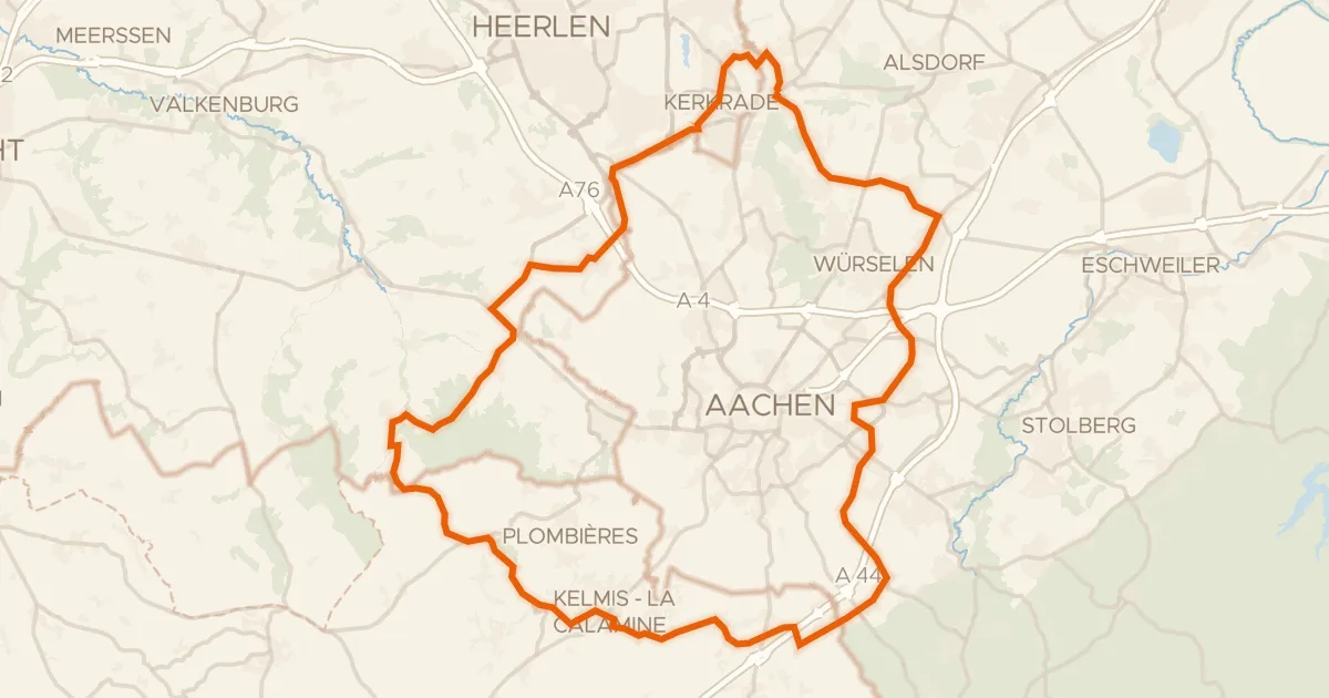
Road bike100% paved
Rondje Burg Rode en Kasteel Nijswiller
75 km↑ 764 m11 km away
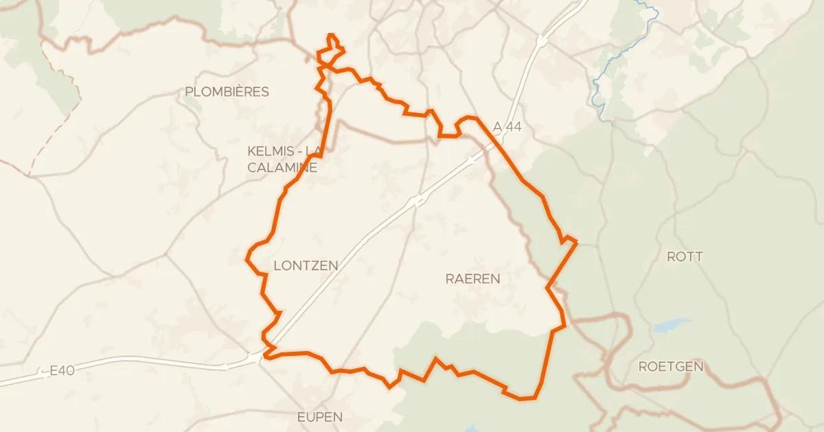
Gravel35% paved
Rondje Schloss Thal en Eyneburg
59 km↑ 764 m12 km away
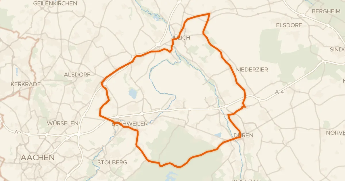
Road bike99% paved
Rondje Burg Kinzweiler en Reiherkolonie Schevenhütte
75 km↑ 446 m14 km away
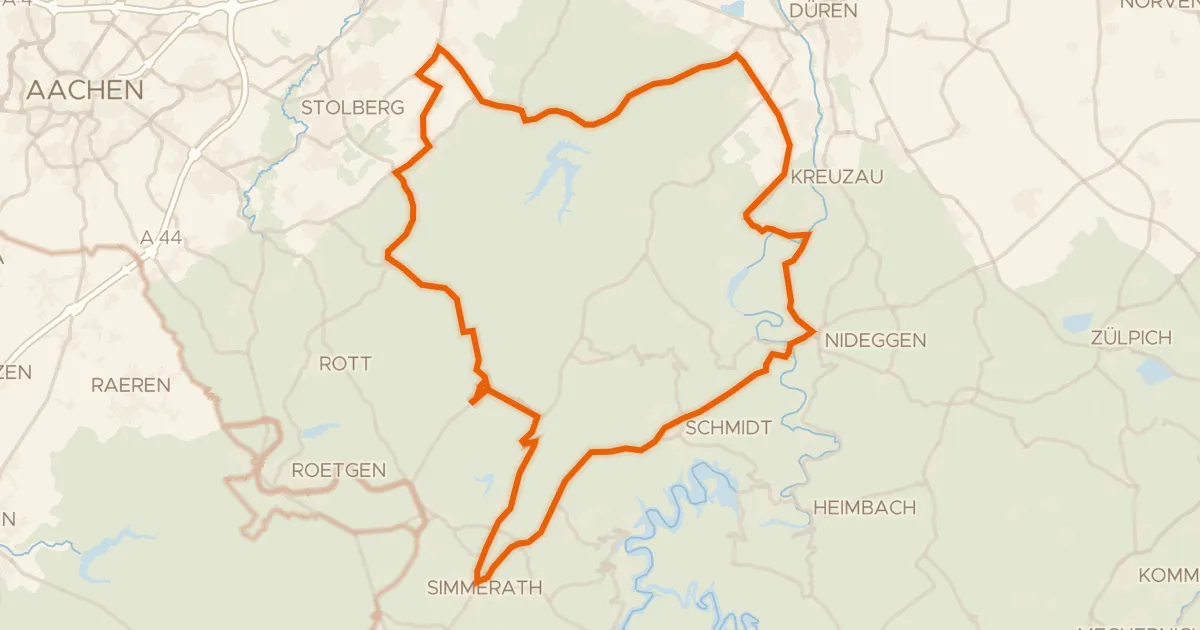
Road bike99% paved
Rondje Burg Untermaubach en Kluckensteine
79 km↑ 1,248 m16 km away
Gravel59% paved
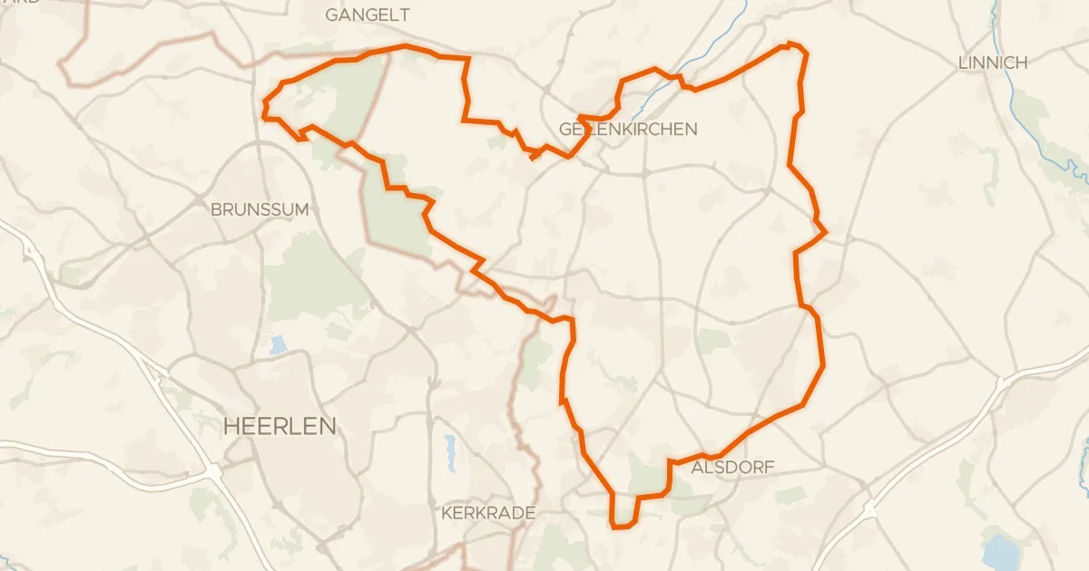
Rondje Burg Alsdorf en Teverener Heide
72 km↑ 382 m17 km away
Gravel42% paved
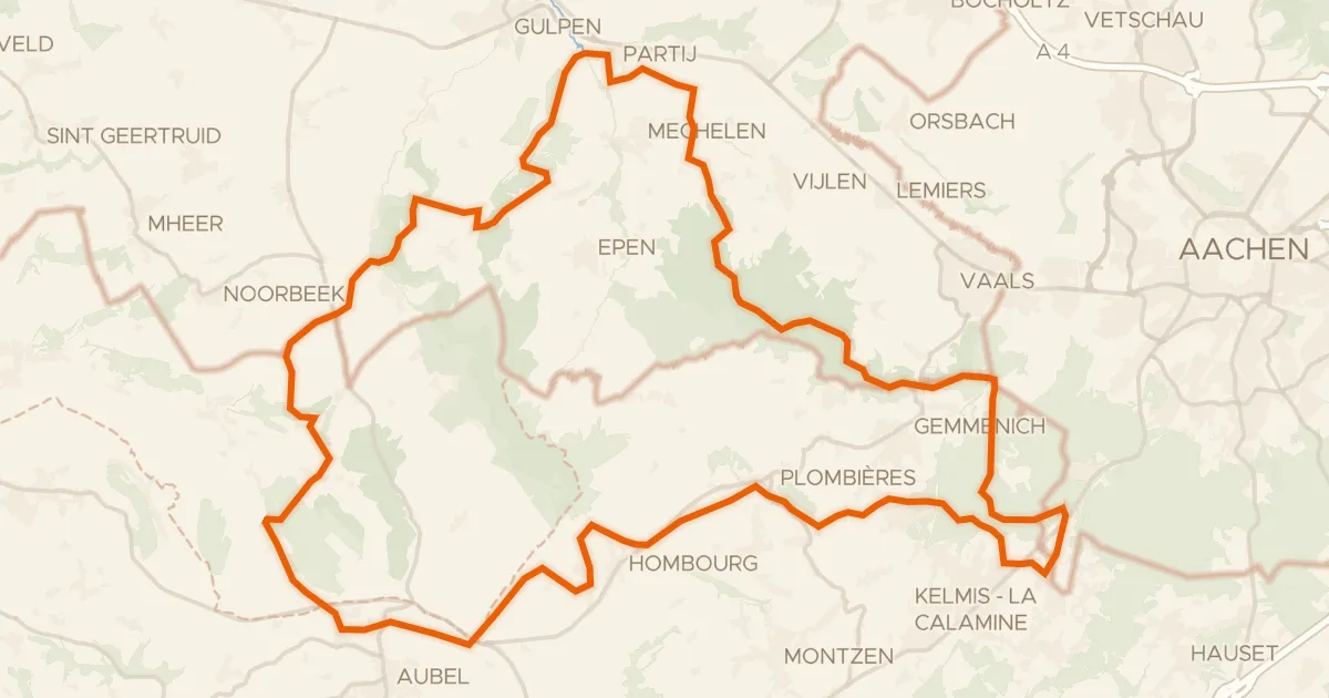
Rondje Kasteel Magis en Bildchen
59 km↑ 993 m18 km away