Back to the librarykm 8 · Jul 2026 · © walldi222 / Mapillary, CC BY-SA km 38 · Jan 2026 · © walldi222 / Mapillary, CC BY-SA km 48 · Jan 2026 · © walldi222 / Mapillary, CC BY-SA km 74 · Jun 2026 · © walldi222 / Mapillary, CC BY-SA km 24–27km 44–47km 73–77km 77–79
Road bikeRouteCasterRound trip
Rondje Burg Untermaubach en Kluckensteine
Distance
79 km
Ascent
1,248 m
Highest point
569 m
99% paved
Start from your location
Ride there from home: we find the shortest way to the loop and start the loop from there.
The ride
From Parkeerplaats Peterbachquellgebiet you roll out for 78.8 km, climbing 1248 m along the way. First up is the Jägersfahrter Fischbachtal nature reserve, then past the Kluckensteine and the Großer und Kleiner Kranzberg reserves. The Schlangenberg reserve follows before Burg Untermaubach castle comes into view. The loop is almost entirely paved and brings you back to where you started.
Along the way
Climbs
Climb 1Cat. 4
3.3 km at 3.8% · max 10.7%
Climb 2Cat. 3
3.1 km at 5.6% · max 13.9%
Climb 3Cat. 4
3.6 km at 4.4% · max 16.6%
Climb 4Hill
1.3 km at 4.8% · max 7%
Routes nearby
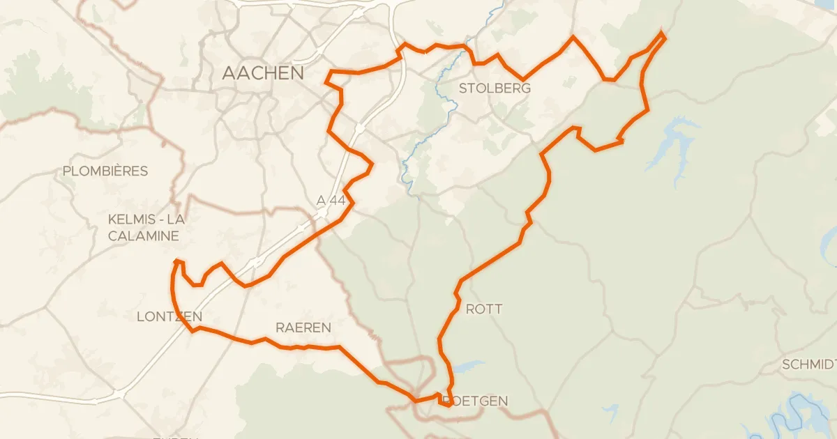
Road bike100% paved
Rondje langs Schloß Thor en Struffelt
84 km↑ 941 m10 km away
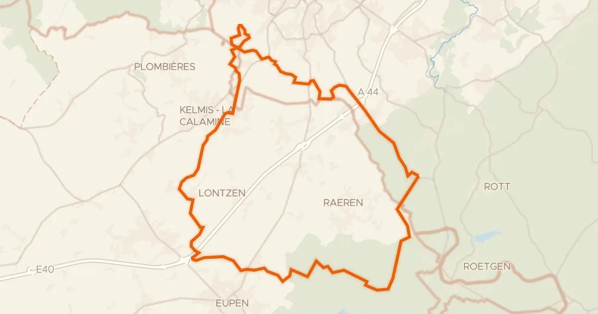
Gravel35% paved
Rondje Schloss Thal en Eyneburg
59 km↑ 764 m15 km away
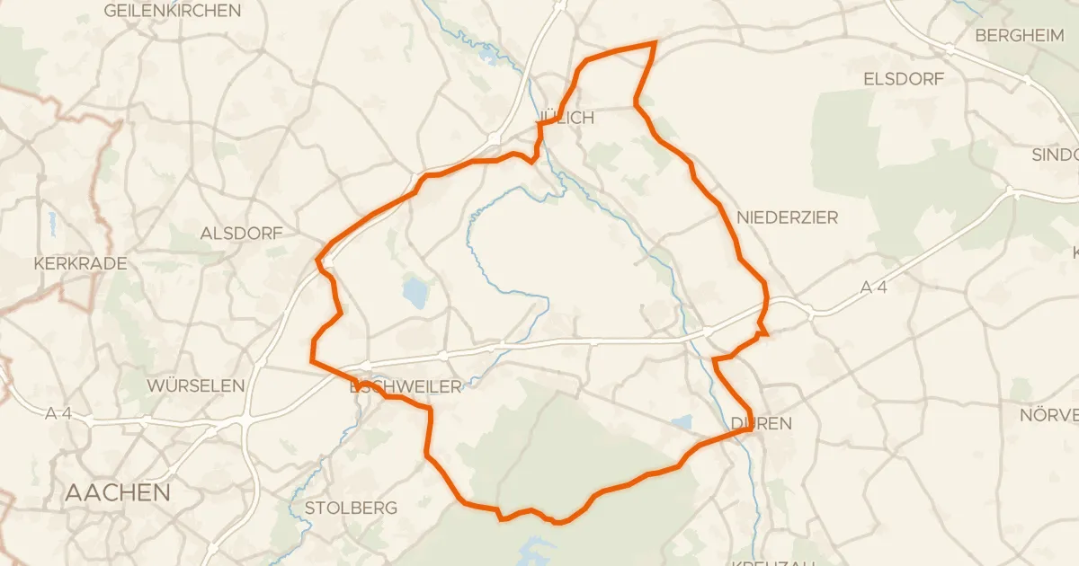
Road bike99% paved
Rondje Burg Kinzweiler en Reiherkolonie Schevenhütte
75 km↑ 446 m21 km away
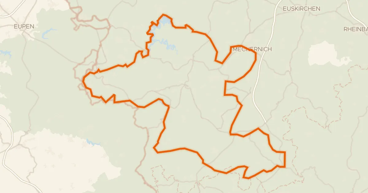
Touring73% paved
Eifel-Höhen-Route
203 km↑ 3,313 m22 km away
Touring92% paved
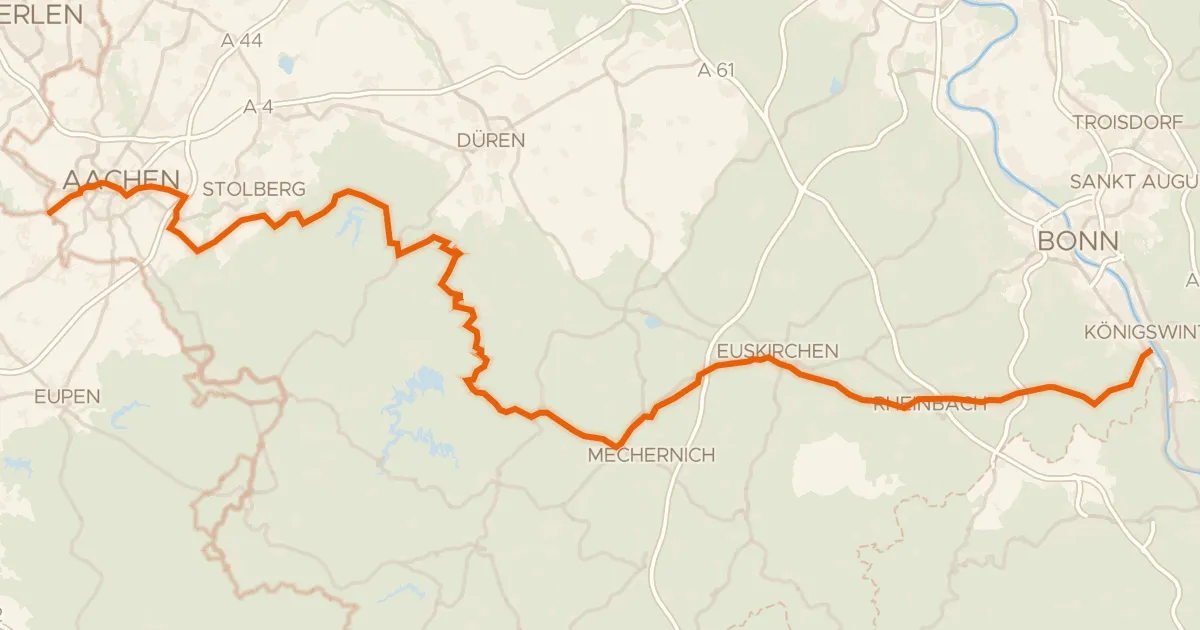
EuroVelo 3 - Pilgrim's Route - part Germany #9 Wasserburgen Route
139 km↑ 1,696 m22 km away
Road bike100% paved
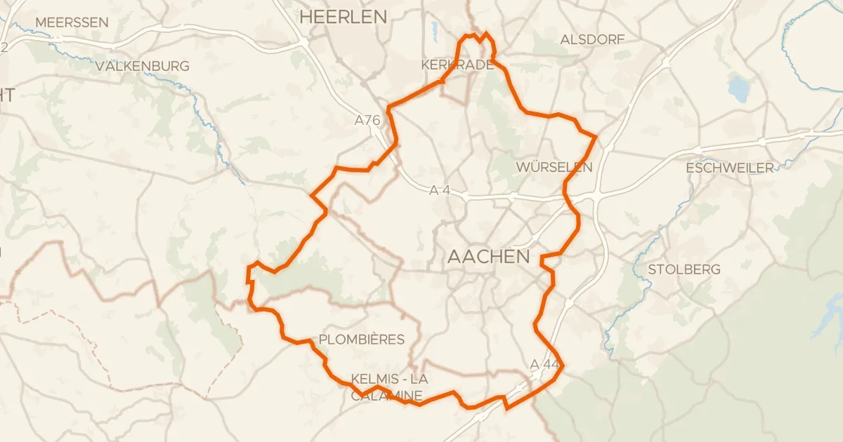
Rondje Burg Rode en Kasteel Nijswiller
75 km↑ 764 m23 km away