Back to the librarykm 4 · Feb 2024 · © jeroenrozema74 / Mapillary, CC BY-SA km 26 · May 2021 · © madel / Mapillary, CC BY-SA km 31 · Sep 2023 · © multi_wandel / Mapillary, CC BY-SA km 53 · May 2025 · © marczoutendijk / Mapillary, CC BY-SA km 3–5km 8–9km 17–18km 24–26km 36–37km 38–40
GravelRouteCasterRound trip
Rondje Kasteel Magis en Bildchen
Distance
59 km
Ascent
993 m
Highest point
344 m
42% paved
Start from your location
Ride there from home: we find the shortest way to the loop and start the loop from there.
The ride
Roll out from Parkeerplaats Bildchen and straight into the Bildchen nature reserve, then on to the Geologisch Monument Zevenwegen. The route climbs 993 m as it winds toward the Geologisch monument Sterrenstenen Vijlenerbosch, past Kasteel Magis, and through Le Site Minier de Plombières. With 58.6 km of which 59% runs unpaved, it's a mixed-surface loop that brings you back to where you started.
Along the way
Climbs
Climb 1Cat. 4
2.3 km at 4.8% · max 11.8%
Climb 2Hill
0.7 km at 6.8% · max 18.8%
Climb 3Hill
0.8 km at 3.7% · max 6%
Climb 4Hill
1.6 km at 4.2% · max 7.6%
Climb 5Cat. 4
1.4 km at 6% · max 15%
Climb 6Cat. 4
2 km at 4.7% · max 8.9%
Routes nearby
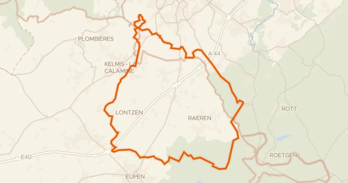
Gravel35% paved
Rondje Schloss Thal en Eyneburg
59 km↑ 764 m5 km away
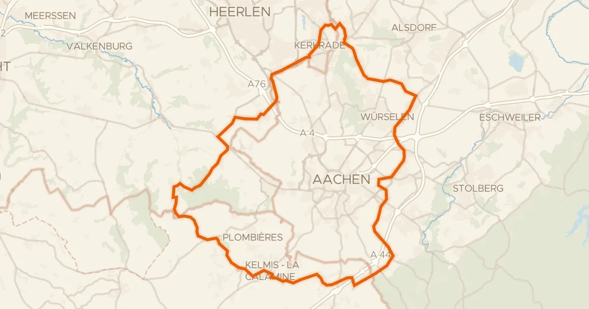
Road bike100% paved
Rondje Burg Rode en Kasteel Nijswiller
75 km↑ 764 m8 km away
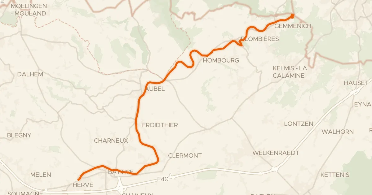
Road bike98% paved
EuroVelo 3 - Pilgrim's Route - part Belgium 1
30 km↑ 322 m9 km away
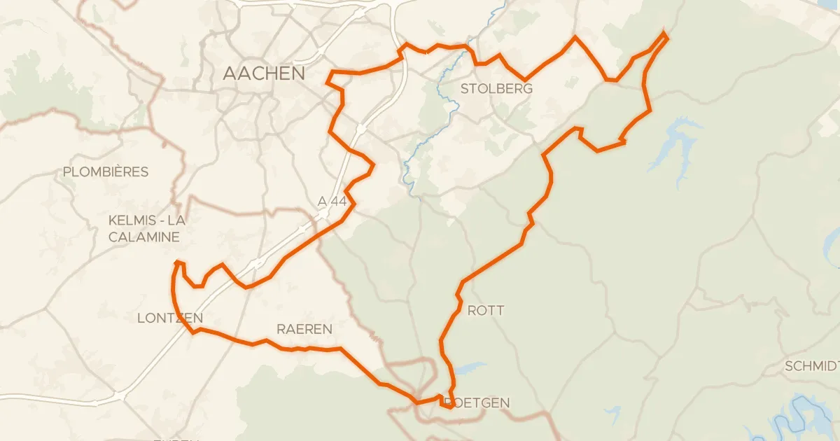
Road bike100% paved
Rondje langs Schloß Thor en Struffelt
84 km↑ 941 m11 km away
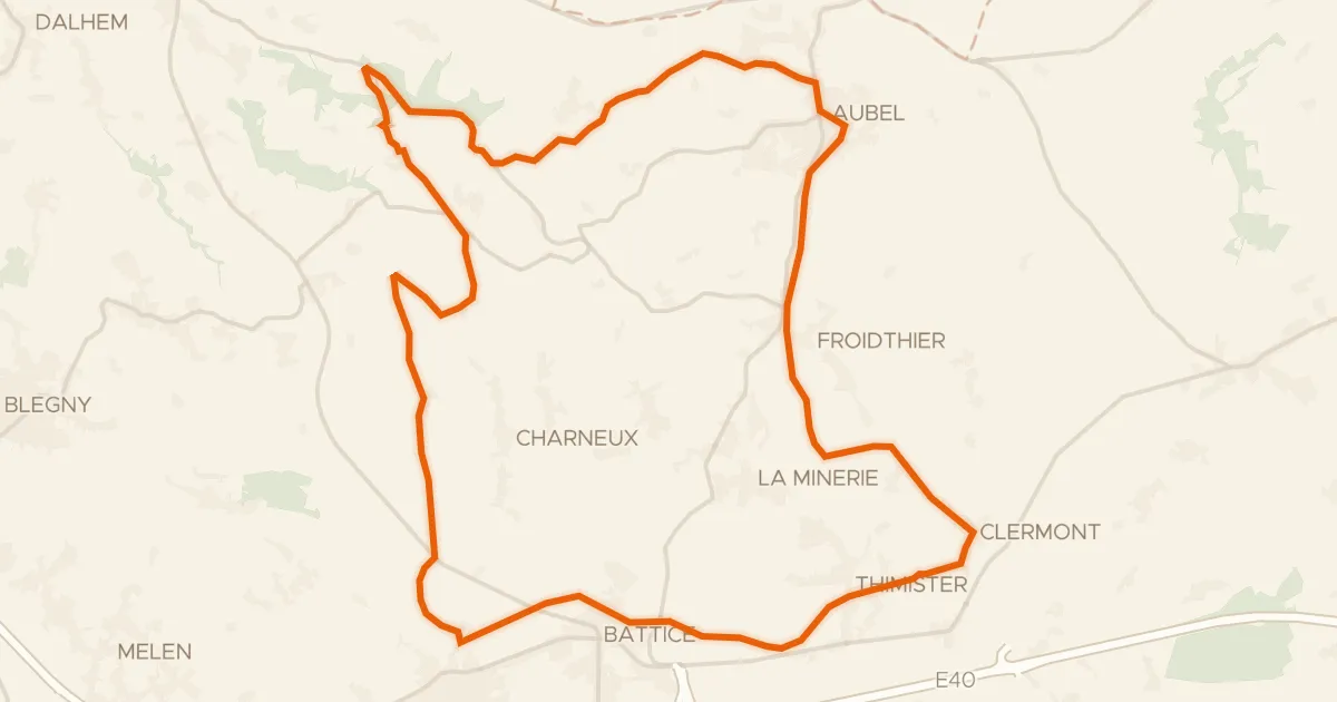
Road bike99% paved
La balade des pommiers
31 km↑ 337 m15 km away
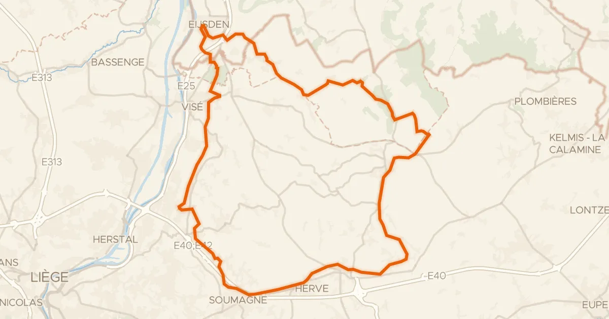
Gravel59% paved
Rondje Molen Janssen en Meuleken
66 km↑ 759 m17 km away