Back to the librarykm 12 · Sep 2020 · © ramap / Mapillary, CC BY-SA km 25 · Feb 2022 · © thetornado76 / Mapillary, CC BY-SA km 41 · Jan 2026 · © DruideBizeps / Mapillary, CC BY-SA km 78 · May 2020 · © ramap / Mapillary, CC BY-SA km 0–7km 16–19km 19–21km 44–48km 52–58km 73–74km 75–79
Road bikeRouteCasterRound trip
Rondje Lange Rhön en Gangolfsberg
Distance
79 km
Ascent
1,570 m
Highest point
839 m
99% paved
Start from your location
Ride there from home: we find the shortest way to the loop and start the loop from there.
The ride
Roll out from Parkeerplaats Mühlwiesen im Elsbachtal and the climbing begins, with 1570 m of elevation gain waiting across 79,3 km. You pass through Gangolfsberg nature reserve, then Mühlwiesen im Elsbachtal nature reserve, before the long pull through Lange Rhön nature reserve. The loop eases past Steinberg und Wein-Berg nature reserve and rolls back to where you started. Nearly all of it is paved, with a slim unpaved stretch to keep you honest.
Along the way
Climbs
Climb 1Cat. 3
6.6 km at 3.9% · max 11.3%
Climb 2Cat. 4
2.8 km at 5.1% · max 11.3%
Climb 3Hill
1.4 km at 3.5% · max 5.3%
Climb 4Cat. 3
4 km at 5.2% · max 11.5%
Climb 5Cat. 3
5.3 km at 4.5% · max 15.7%
Climb 6Hill
1.4 km at 3.3% · max 6%
Climb 7Cat. 3
3.9 km at 5.1% · max 15.2%
Routes nearby
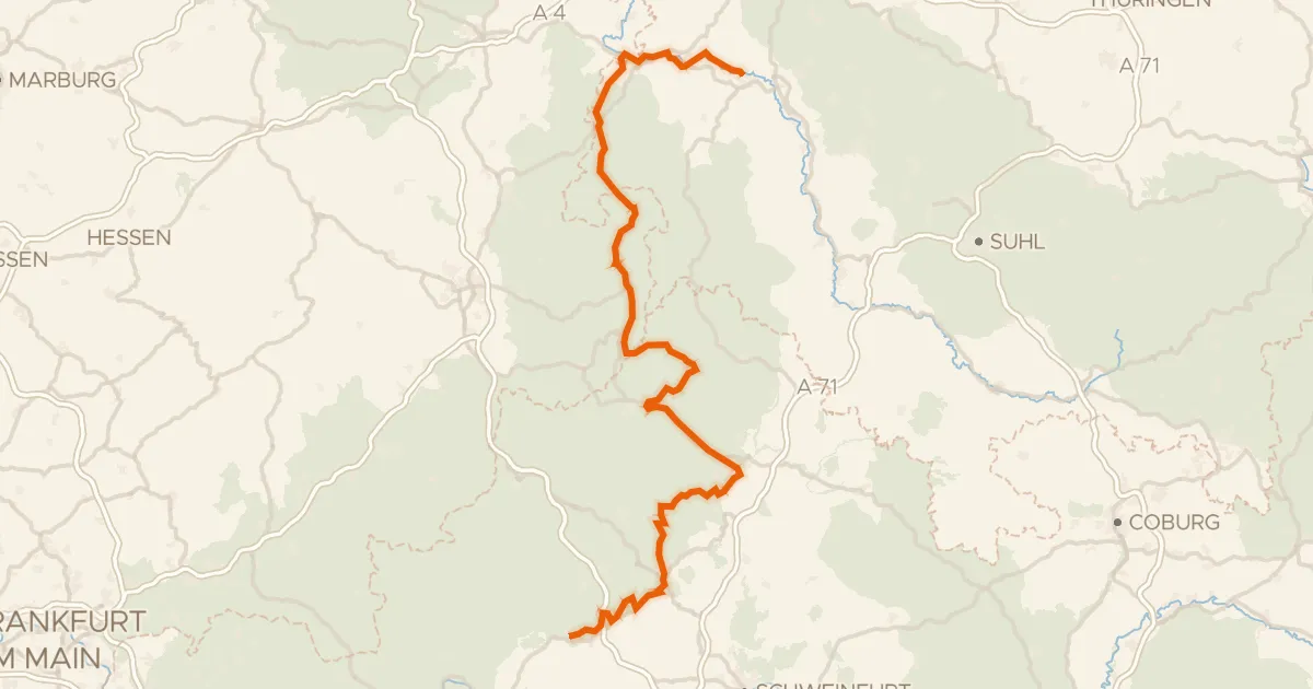
Touring88% paved
Rhönradweg
176 km↑ 1,698 m3 km away
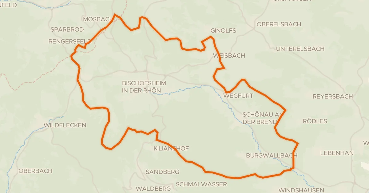
Gravel8% paved
Rondje Höllwald bei Rodenbach en Lange Rhön
60 km↑ 1,271 m8 km away
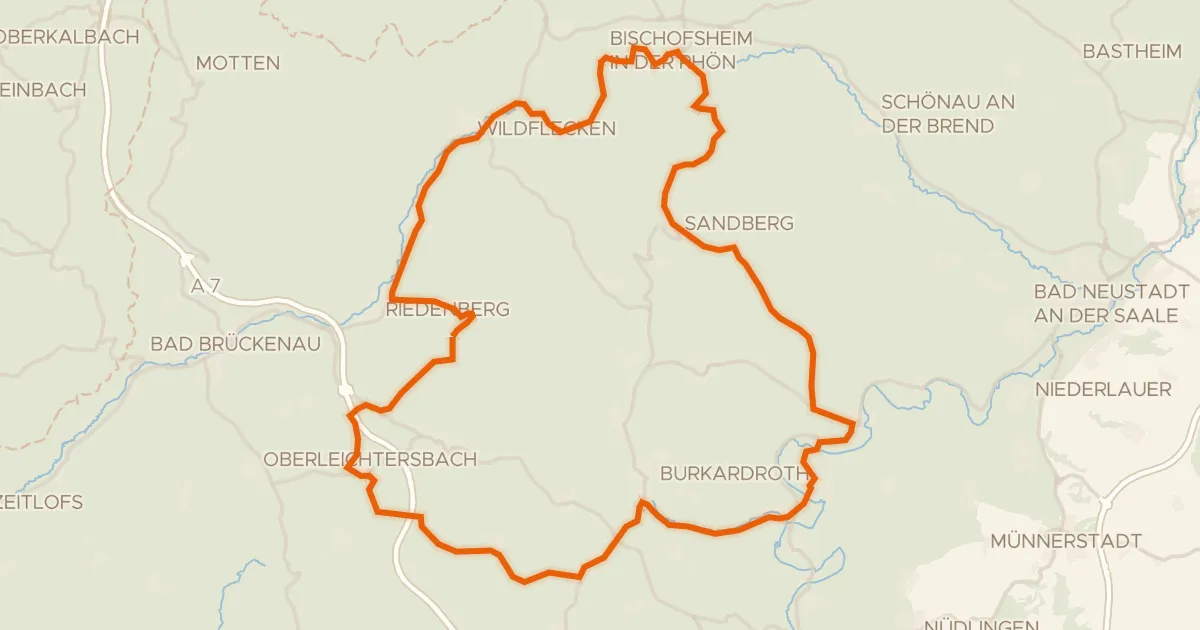
Road bike100% paved
Rondje Osterburg en Schloss Aschach
75 km↑ 1,415 m18 km away
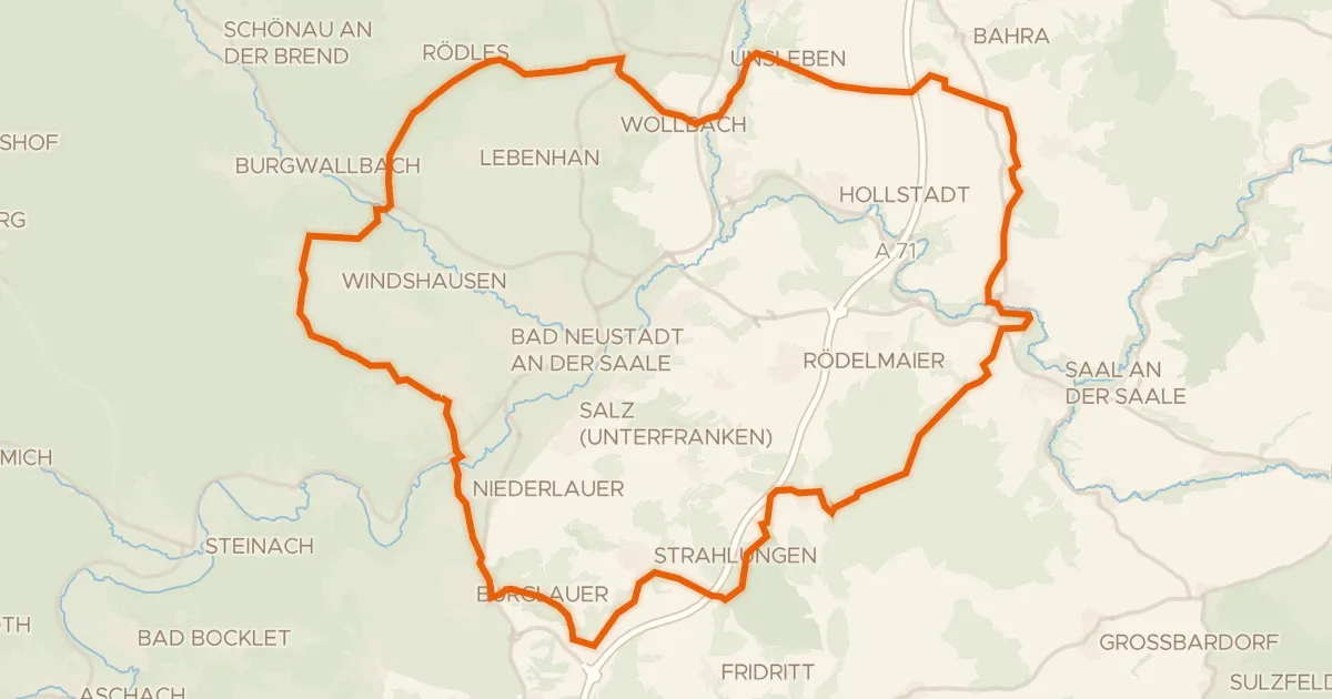
Gravel15% paved
Rondje Trockenhänge bei Unsleben en Biosphärenreservat Rhön
62 km↑ 922 m19 km away
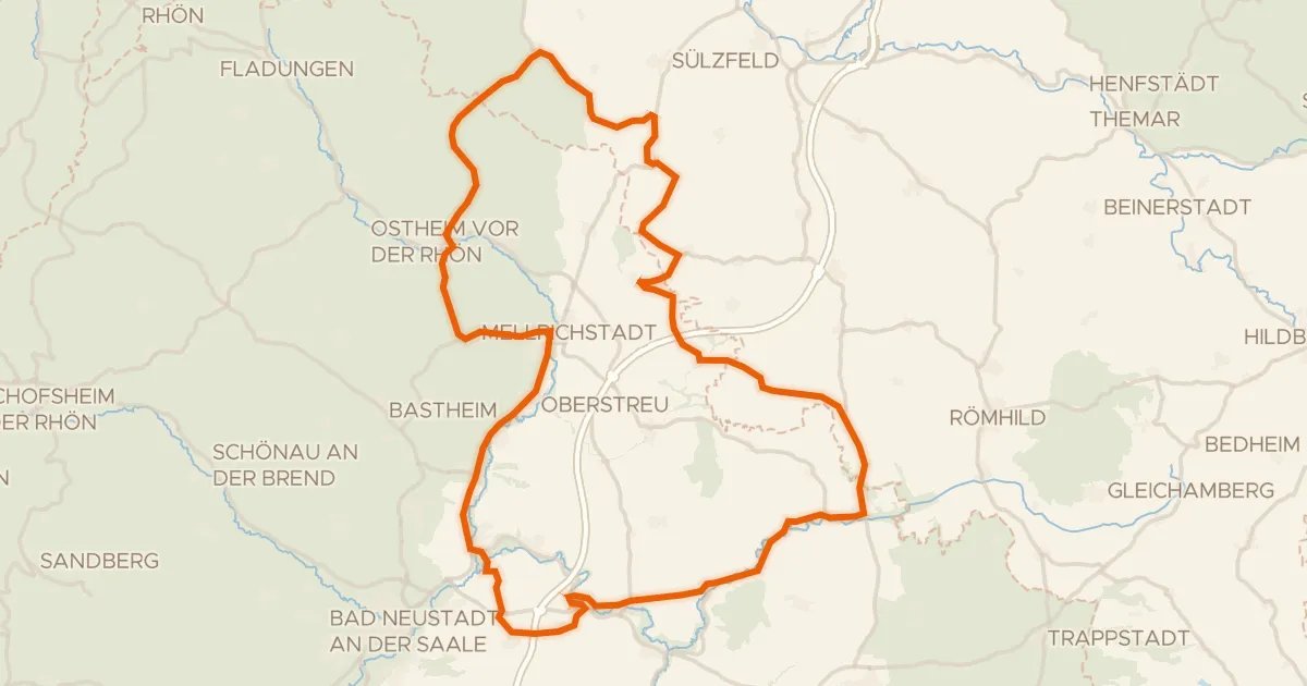
Road bike99% paved
Rondje Wasserschloss Irmelshausen en Schloss Waltershausen
85 km↑ 988 m19 km away
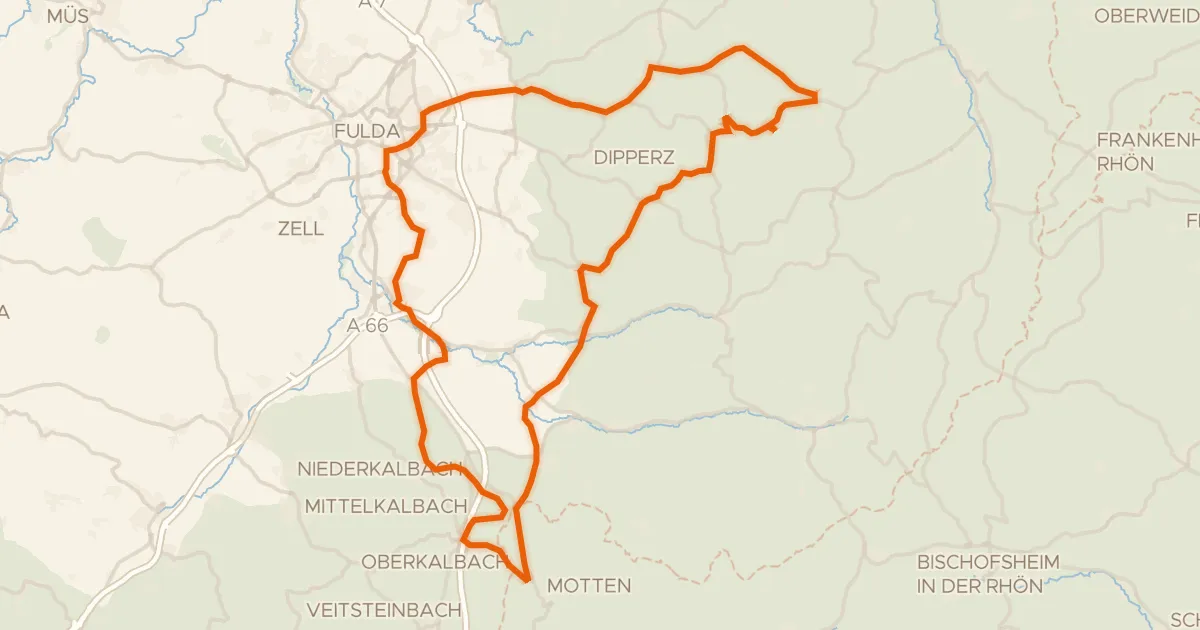
Road bike96% paved
Rondje Schloss Fasanerie en Milseburg
75 km↑ 1,308 m21 km away