Back to the librarykm 15 · Jul 2026 · © fell3 / Mapillary, CC BY-SA km 36 · Apr 2024 · © fell3 / Mapillary, CC BY-SA km 53 · Apr 2024 · © maxim752 / Mapillary, CC BY-SA km 66 · Nov 2025 · © atze02 / Mapillary, CC BY-SA km 0–1km 3–5km 74–79
Road bikeRouteCasterRound trip
Rondje Jonsdorfer Felsenstadt en Mandau
Distance
82 km
Ascent
1,022 m
Highest point
561 m
100% paved
Start from your location
Ride there from home: we find the shortest way to the loop and start the loop from there.
The ride
Roll out of Lückendorf and let the ride unfold: first the Jonsdorfer Felsenstadt nature reserve, then past Schloss Oberleutersdorf, a manor. On through the Königsholz and Oberwald forests, down along the Mandau river, and by Althörnitz and Karlsfried castles. All 81.6 km are paved, with 1022 m of climbing, before you roll back into Lückendorf.
Along the way
Climbs
Climb 1Hill
1.4 km at 4.3% · max 13.6%
Climb 2Cat. 4
1.9 km at 4.8% · max 9.4%
Climb 3Cat. 3
4.9 km at 4.4% · max 22.8%
Routes nearby
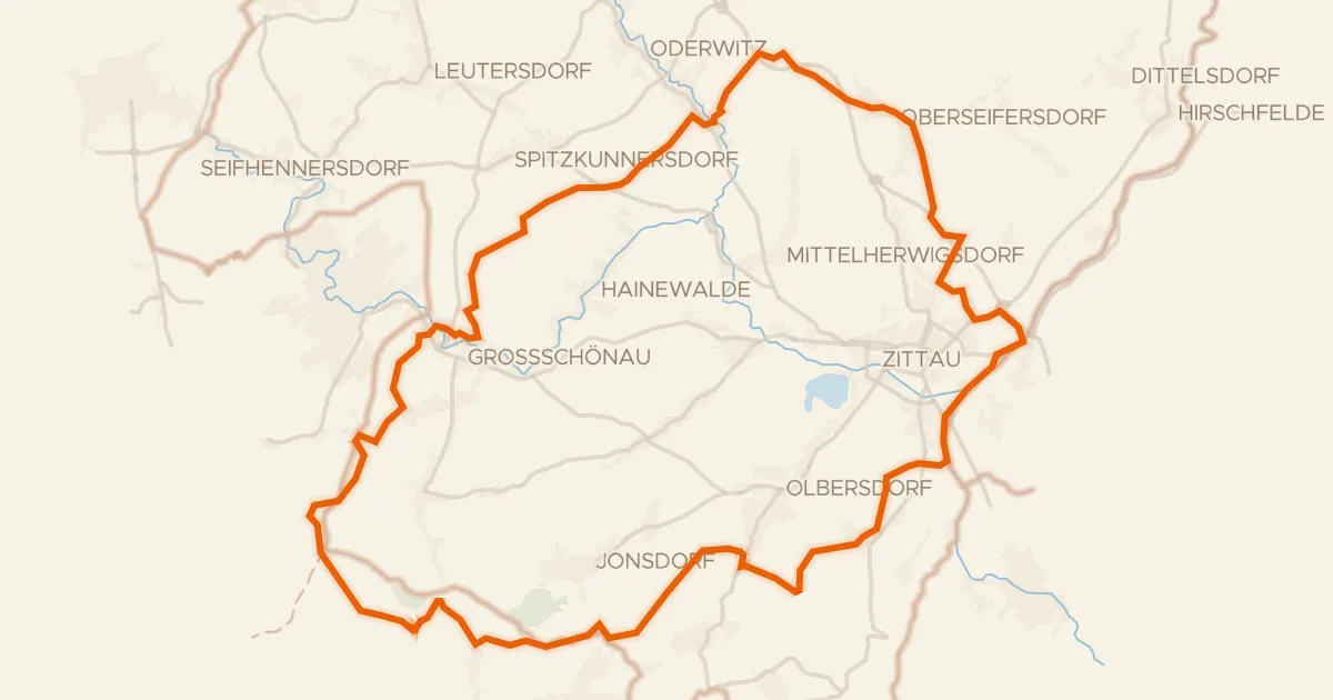
Gravel30% paved
Rondje Brazilka en Königsholz
61 km↑ 1,160 m8 km away
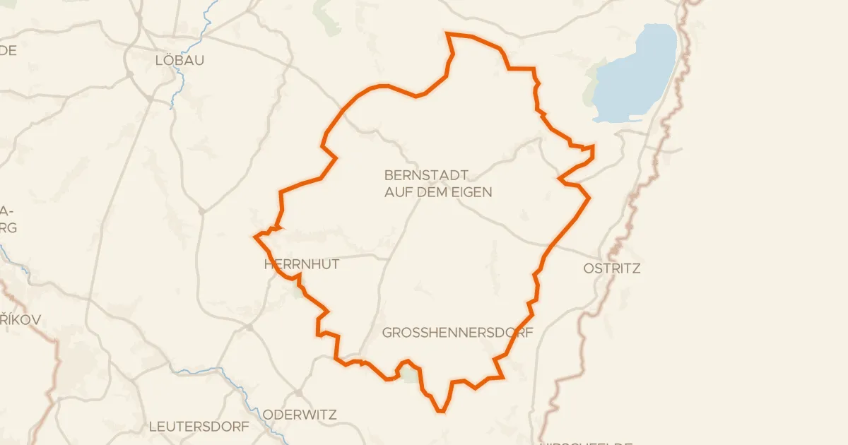
Gravel34% paved
Rondje Hengstberg en Schönbrunner Berg
62 km↑ 752 m23 km away
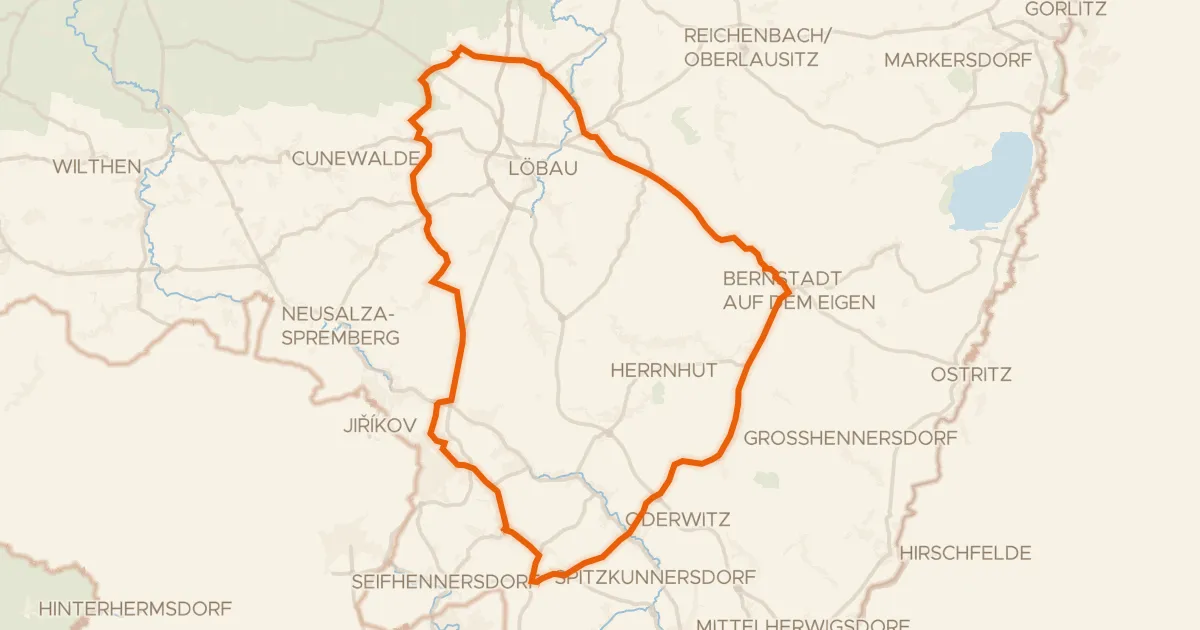
Road bike100% paved
Rondje Schloss Kittlitz en Georgewitzer Skala
71 km↑ 716 m23 km away
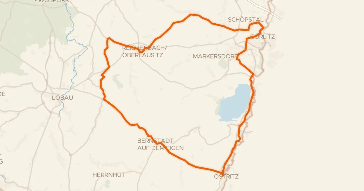
Road bike99% paved
Rondje Barockschloss Königshain en Berzdorfer See
72 km↑ 590 m30 km away
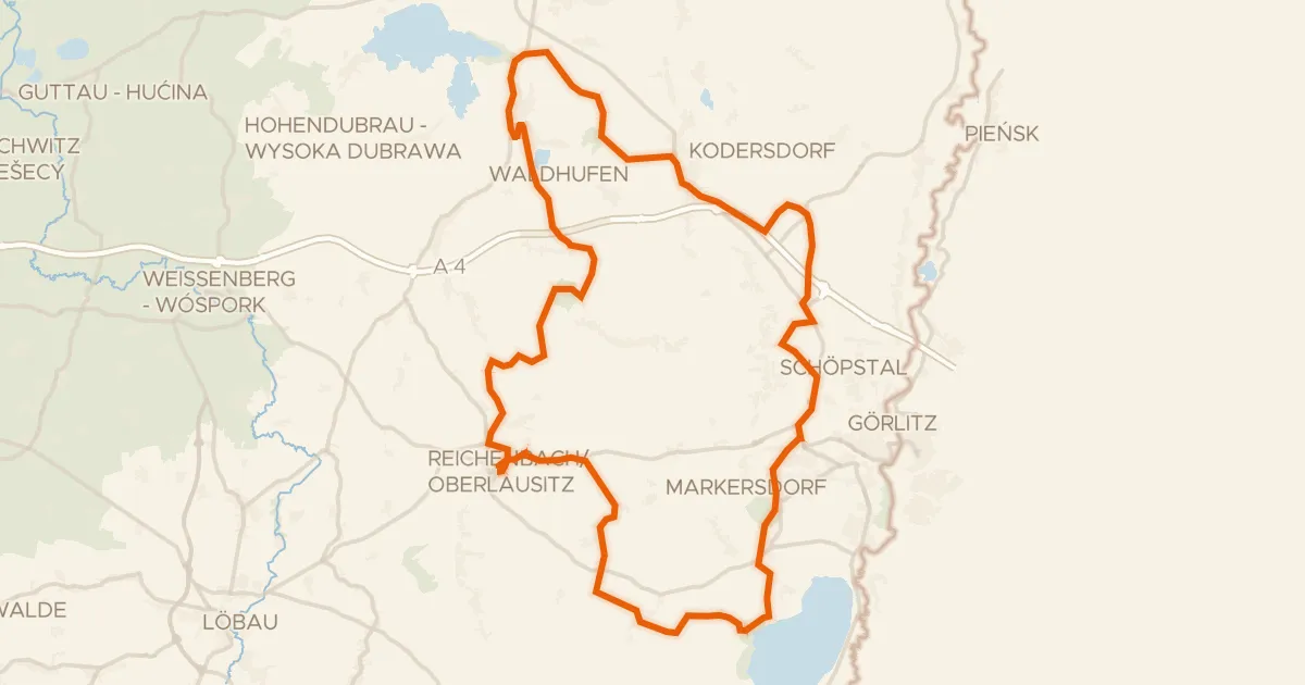
Gravel46% paved
Rondje langs de Hochstein en Talsperre Quitzdorf
75 km↑ 730 m40 km away
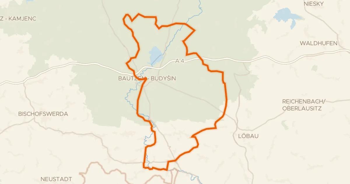
Road bike95% paved
Rondje Wasserschloss Wurschen en Lausker Skala
98 km↑ 834 m41 km away