Back to the librarykm 47 · Apr 2024 · © maxim752 / Mapillary, CC BY-SA km 68 · Aug 2019 · © rausk / Mapillary, CC BY-SA km 80 · Jun 2022 · © dsmm / Mapillary, CC BY-SA km 53–57km 63–65km 81–83km 87–88km 91–91
Road bikeRouteCasterRound trip
Rondje Wasserschloss Wurschen en Lausker Skala
Distance
98 km
Ascent
834 m
Highest point
409 m
95% paved
Start from your location
Ride there from home: we find the shortest way to the loop and start the loop from there.
The ride
Roll out of Bautzen - Budyšin and the Litzenteich nature reserve comes first, before the route slips through the Oberlausitzer Heide- und Teichlandschaft. A castle at Wurschen and the Lausker Skala nature reserve follow, then the Schloss Oppach manor, and the loop swings back to where it began. Of the 98.3 km, 95% is paved and 5% unpaved, with 834 m of climbing along the way.
Along the way
Climbs
Jauernick-PassCat. 4
4 km at 4% · max 14.9%
Climb 2Cat. 4
2.3 km at 3.7% · max 8.6%
Climb 3Hill
1.7 km at 4.1% · max 7.8%
Climb 4Hill
0.9 km at 4.3% · max 7.9%
SćěnaHill
0.9 km at 3.1% · max 6.3%
Routes nearby
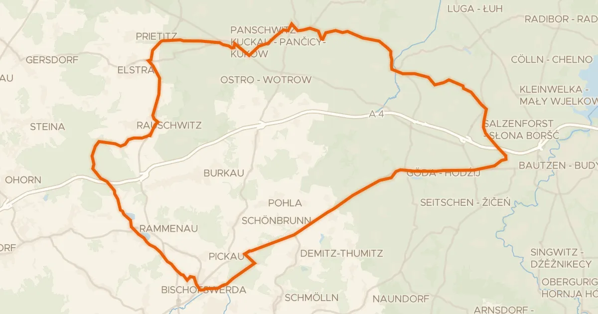
Gravel59% paved
Rondje Barockschloss Rammenau en Wesenitz
63 km↑ 560 m12 km away
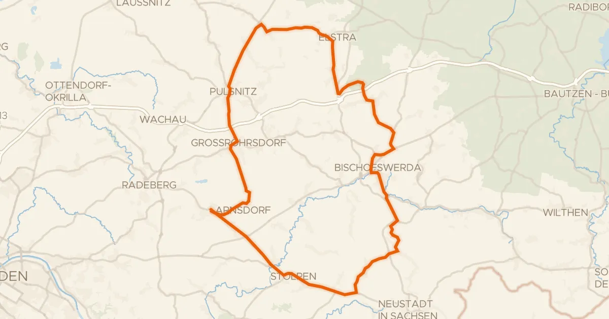
Road bike100% paved
Rondje Massenei en Wesenitz
73 km↑ 630 m23 km away
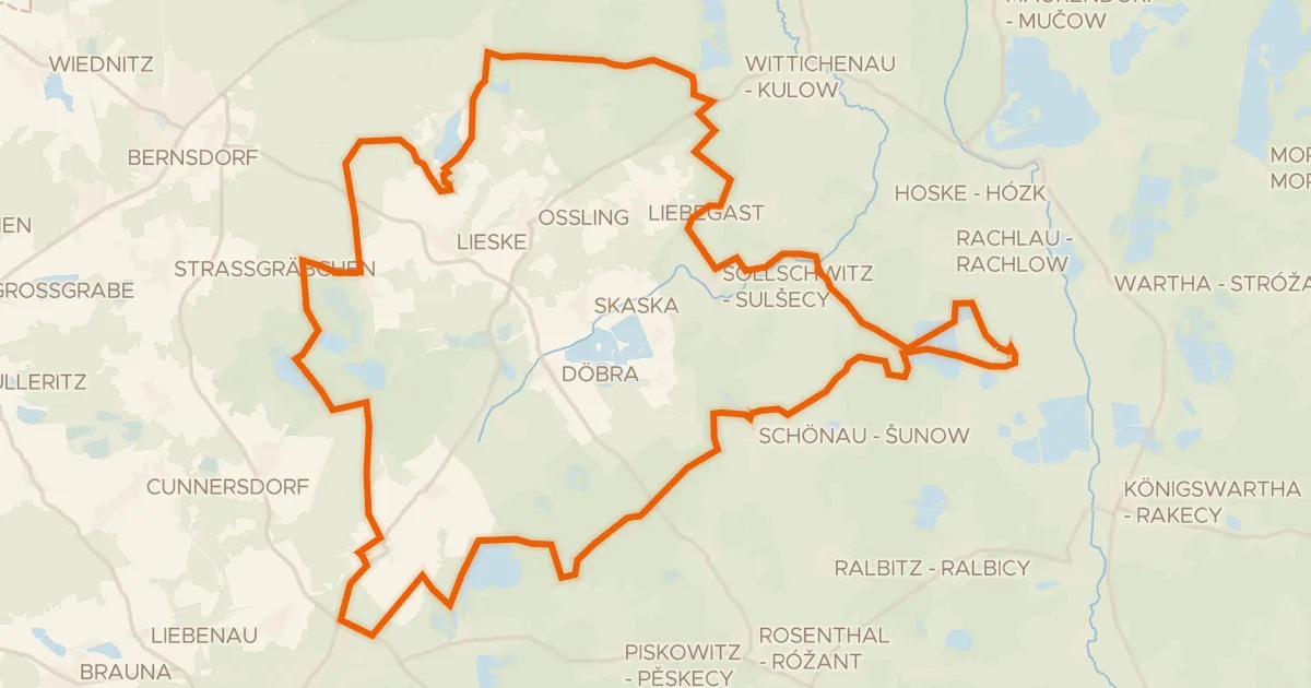
Gravel20% paved
Rondje Schloss Weißig en Dubringer Moor
59 km↑ 239 m24 km away
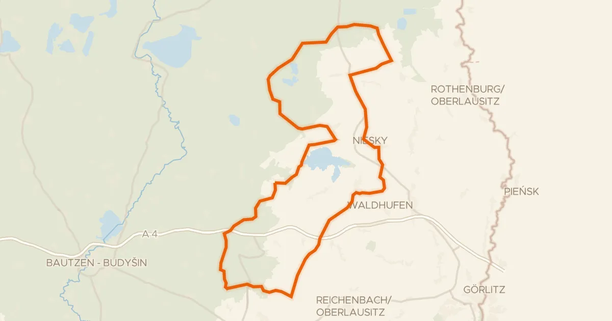
Road bike97% paved
Rondje Gröditzer Skala en Schloss Gröditz
96 km↑ 552 m24 km away
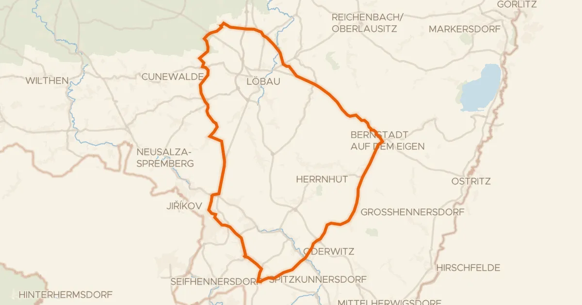
Road bike100% paved
Rondje Schloss Kittlitz en Georgewitzer Skala
71 km↑ 716 m25 km away
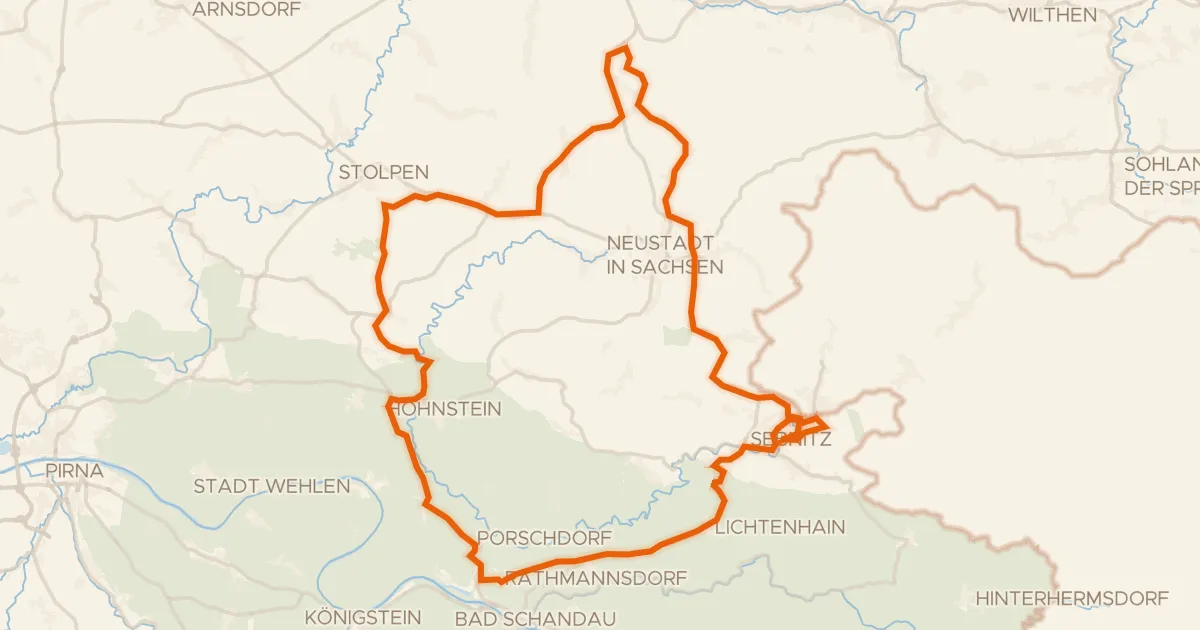
Road bike99% paved
Rondje Schloss Langburkersdorf en Polenz
67 km↑ 1,077 m25 km away