Back to the librarykm 0–7km 27–40km 50–52
Road bikeMade by RouteCasterRound trip
Rondje Hexenturm en Waldemme
Distance
81 km
Ascent
2,386 m
Highest point
1,621 m
100% paved
Start from your location
Ride there from home: we find the shortest way to the loop and start the loop from there.
The ride
From Sörenberg you roll out along the Waldemme river and into the UNESCO Biosphäre Entlebuch nature reserve, with 81.0 km of paved road ahead. The route climbs for 2386 m of elevation gain, passing the Burgruine Rosenberg castle and the Nationale Aue Steinibach Schutzzone nature reserve. Later you follow the Sarneraa river and ride by the Hexenturm castle before the loop brings you back to Sörenberg.
Climbs
GlaubenbielenCat. 2
6.6 km at 7% · max 22.8%
GlaubenbergpassHC
13.1 km at 8.1% · max 37.6%
Climb 3Hill
1.9 km at 3.4% · max 9.5%
Routes nearby
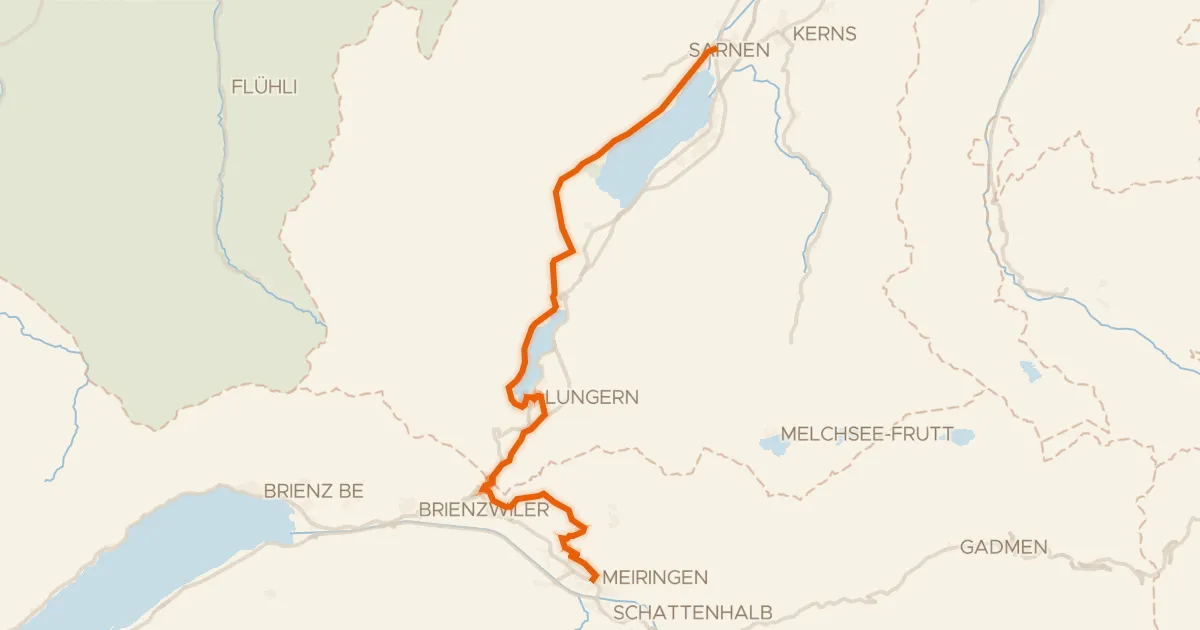
Touring90% paved
Seen-Route
32 km↑ 958 m12 km away
Brünigpass
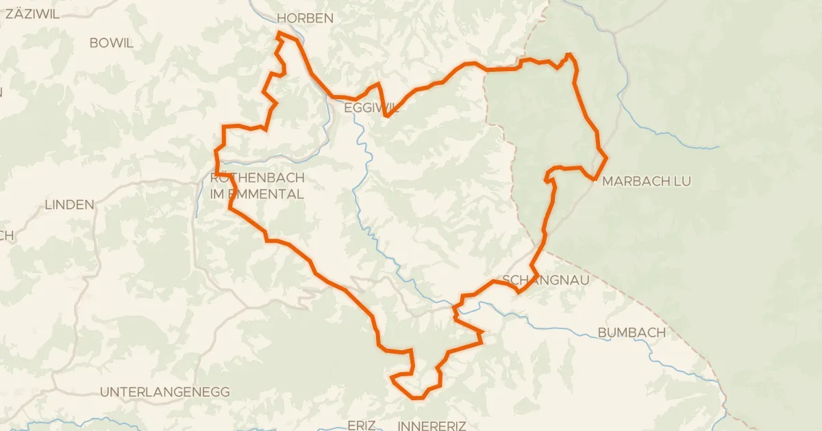
Gravel42% paved
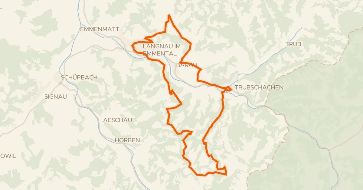
Rondje UNESCO Biosphäre Entlebuch en Emme
59 km↑ 2,403 m16 km away
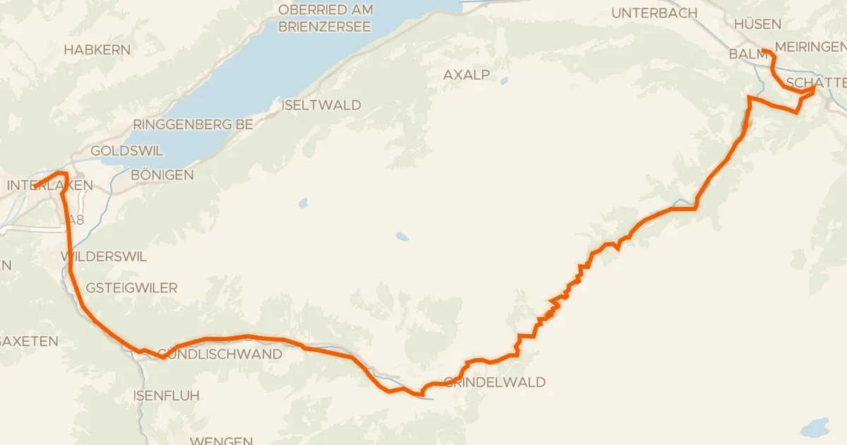
Road bike95% paved
Berner Oberland-Route
52 km↑ 1,839 m17 km away
Grosse Scheidegg
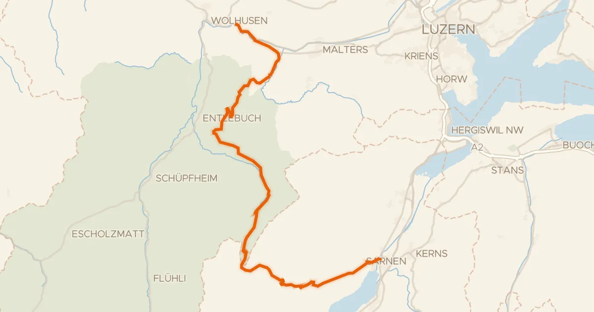
Road bike96% paved
Wiggertal–Glaubenberg
45 km↑ 1,428 m19 km away
Glaubenbergpass
Road bike100% paved
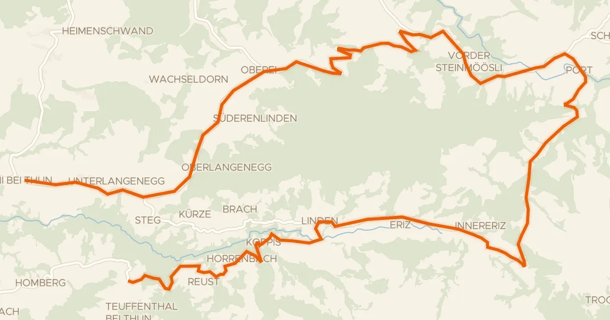
Erlebnis Tour
29 km↑ 984 m20 km away
Chrüzhöchi
Touring89% paved
lcn 5 - Rund um d'Honegg
39 km↑ 1,254 m20 km away
Schallenbergpass