Back to the librarykm 0–3km 8–9km 11–14km 16–17km 18–19km 20–20km 22–23km 24–25km 27–28km 32–33km 40–45km 45–49km 49–50km 54–56
GravelMade by RouteCasterRound trip
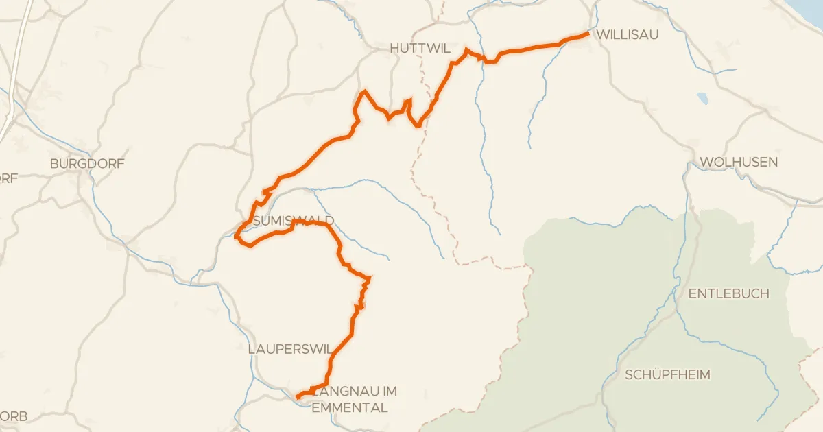
Rondje UNESCO Biosphäre Entlebuch en Emme
Distance
59 km
Ascent
2,403 m
Highest point
1,403 m
42% paved
Start from your location
Ride there from home: we find the shortest way to the loop and start the loop from there.
The ride
From Marbach LU the route rolls out toward the UNESCO Biosphäre Entlebuch, a nature reserve, before following the Emme river. Of the 59.5 km, more than half runs unpaved, and the climbing adds up to 2403 m along the way. The ride then turns for home and finishes back in Marbach LU.
Climbs
Climb 1Cat. 3
3 km at 10.4% · max 38.5%
Climb 2Hill
0.9 km at 4.2% · max 13.9%
Climb 3Cat. 2
3.6 km at 14.6% · max 59.8%
Climb 4Cat. 4
1.6 km at 6.4% · max 14.8%
Climb 5Cat. 4
1.3 km at 6.5% · max 20.2%
Climb 6Hill
0.5 km at 6.5% · max 15.1%
Climb 7Cat. 4
1.2 km at 7.3% · max 17.2%
Climb 8Hill
0.6 km at 5% · max 9.7%
Climb 9Hill
0.5 km at 5.5% · max 13.1%
Climb 10Cat. 3
1.6 km at 10.5% · max 38.5%
Climb 11Cat. 3
4.8 km at 4.5% · max 28.6%
Climb 12Cat. 3
3.6 km at 7.4% · max 24%
ChäsereneggCat. 4
1.4 km at 8.4% · max 16%
Climb 14Hill
1.2 km at 4.1% · max 12.4%
Routes nearby
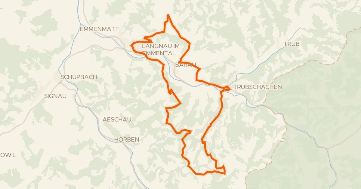
Road bike100% paved
Erlebnis Tour
29 km↑ 984 m10 km away
Chrüzhöchi
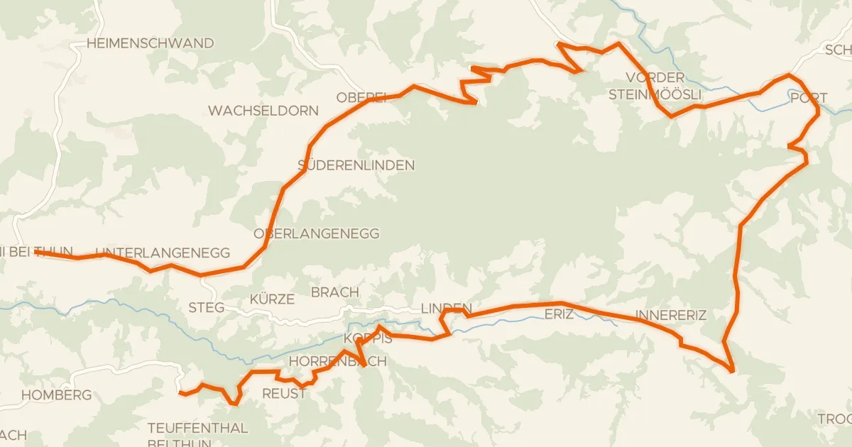
Touring89% paved
lcn 5 - Rund um d'Honegg
39 km↑ 1,254 m11 km away
Schallenbergpass
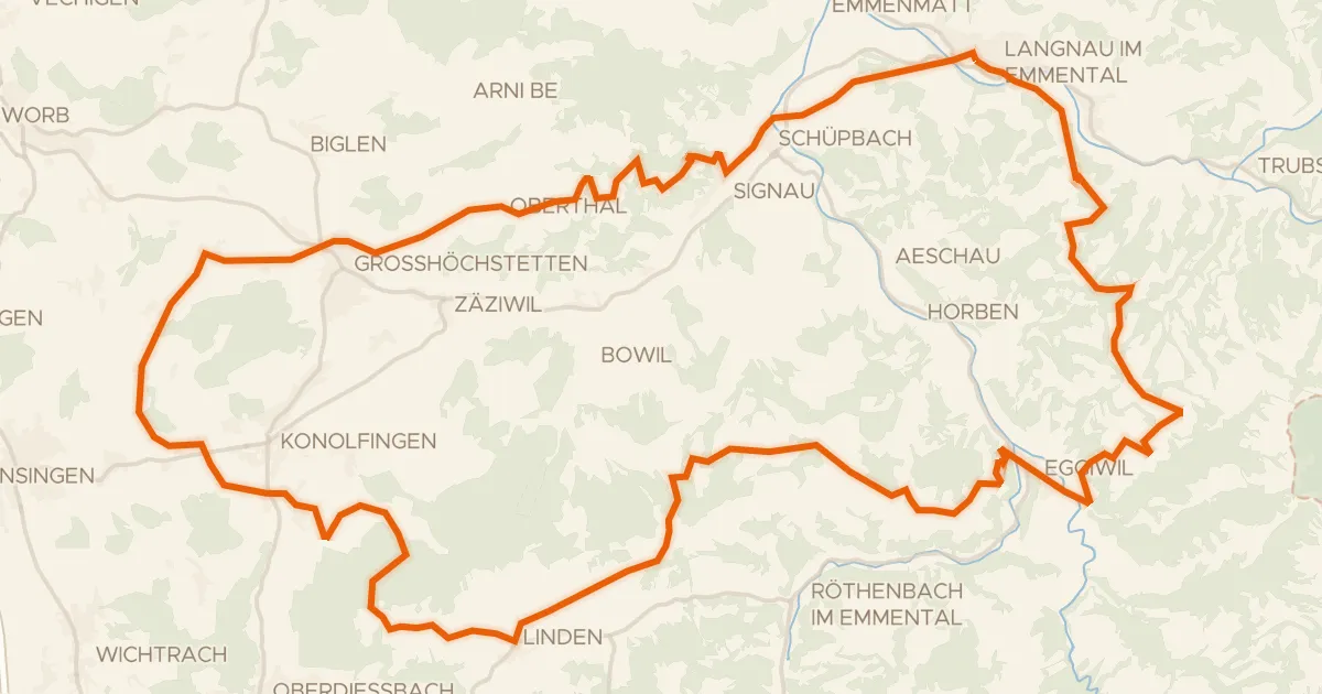
Touring92% paved
Herzschlaufe Langnau
68 km↑ 2,097 m15 km away
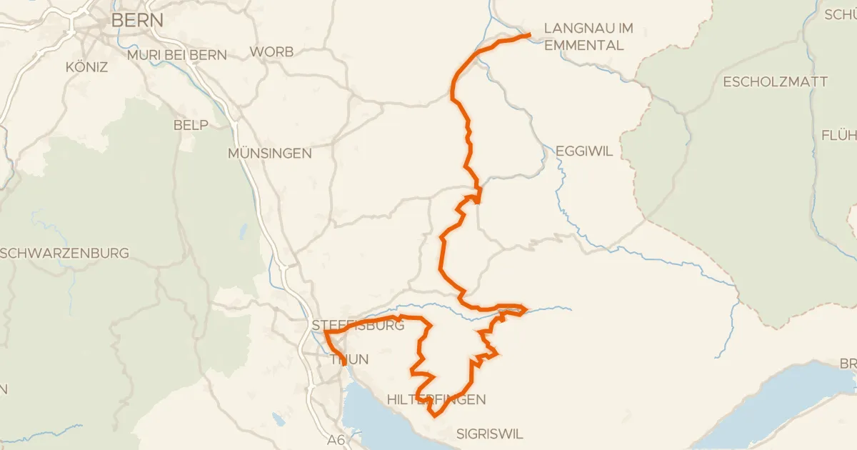
Road bike96% paved
Herzroute
72 km↑ 2,335 m16 km away
Multenegg

Gravel30% paved
Rondje langs de Worb en de Emme
58 km↑ 2,219 m20 km away
Touring89% paved
Herzschlaufe Napf
57 km↑ 1,700 m20 km away
Chrüzhöchi