Back to the librarykm 47 · Sep 2020 · © rjrrjr3 / Mapillary, CC BY-SA km 63 · Sep 2021 · © saschahaberkorn / Mapillary, CC BY-SA km 21–22km 22–24km 24–25km 27–29km 30–31km 32–33km 36–37km 38–39km 40–40km 41–42km 43–44km 47–50
GravelRouteCasterRound trip
Rondje Haus Schoppe en Wulmke
Distance
64 km
Ascent
1,061 m
Highest point
329 m
52% paved
Start from your location
Ride there from home: we find the shortest way to the loop and start the loop from there.
The ride
Roll out from Parkeerplaats Strickherdicker Bachtal and let the route unfold: through the Ostholzbachtal nature reserve, on past the Wulmke and Riemke reserves, then the Naturschutzgebiet Abbabach. Haus Schoppe, a castle, marks the far turn before the way winds home. Along the way, 1061 m of climbing keeps the legs honest across 64.4 km, and the surface splits between paved and unpaved. Back where you started, with four reserves and a castle behind you.
Along the way
Climbs
Climb 1Hill
0.7 km at 5.2% · max 12.7%
Climb 2Hill
1.5 km at 3.4% · max 10.1%
Climb 3Hill
0.8 km at 4.9% · max 8.5%
Climb 4Cat. 4
2.3 km at 5.5% · max 13.8%
Climb 5Hill
0.9 km at 6.3% · max 10.9%
Climb 6Hill
1.3 km at 3.9% · max 12.9%
Climb 7Hill
1.1 km at 6.6% · max 15.7%
Climb 8Hill
1 km at 4.2% · max 6.6%
Climb 9Hill
0.7 km at 7.6% · max 12.6%
Climb 10Hill
0.7 km at 5.7% · max 11.2%
Climb 11Hill
0.7 km at 4.9% · max 8.7%
Climb 12Cat. 4
3.3 km at 3.1% · max 16.1%
Routes nearby
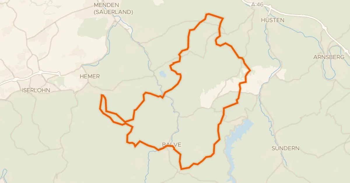
Gravel28% paved
Rondje Katenberg en Hönnetal
59 km↑ 1,706 m17 km away
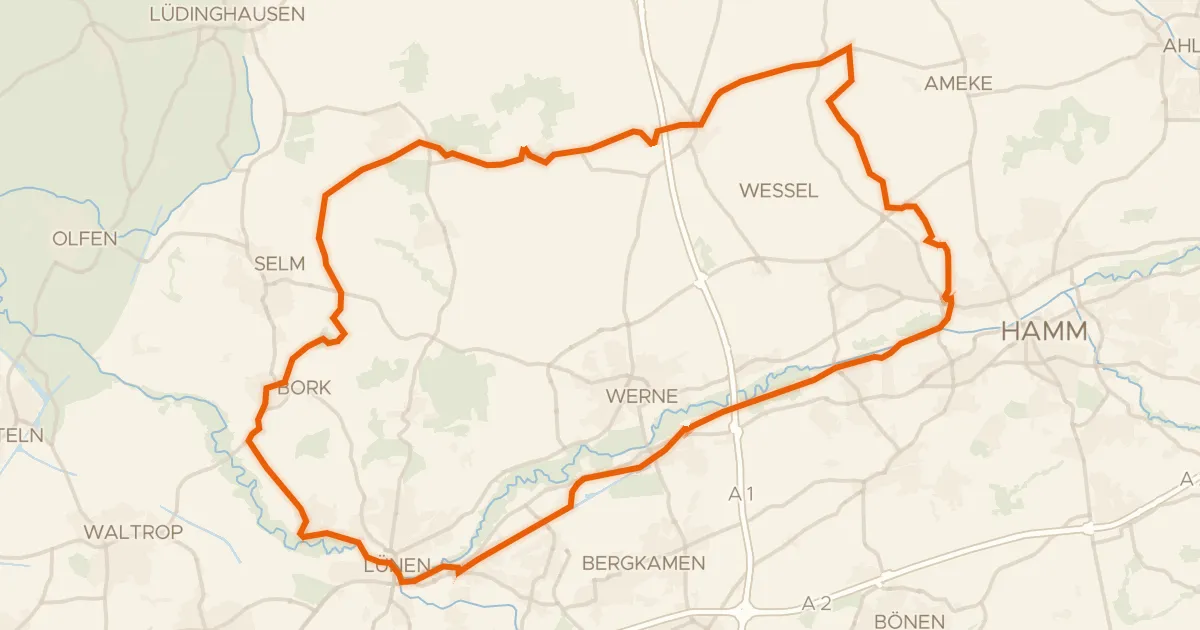
Gravel54% paved
Rondje langs Schloss Westerwinkel en Schloss Nordkirchen
77 km↑ 296 m22 km away
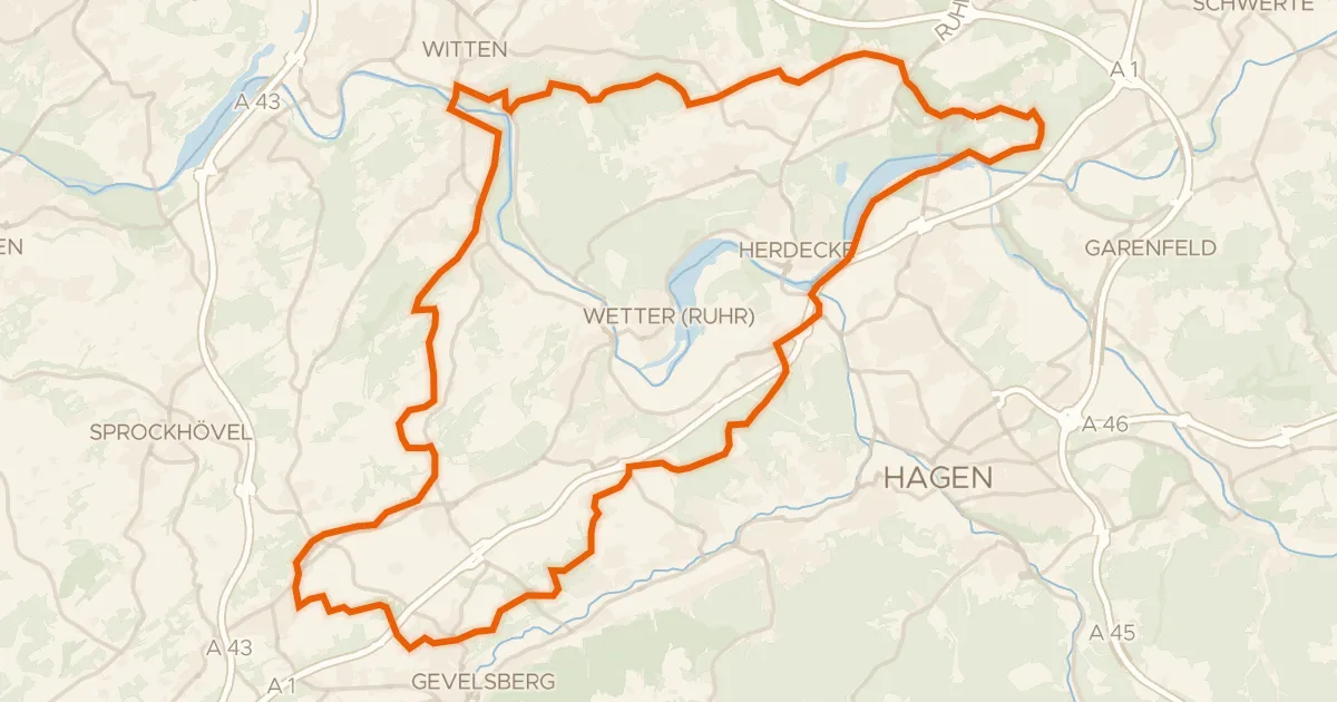
Gravel54% paved
Rondje Burg Husen en Haus Witten
60 km↑ 981 m25 km away
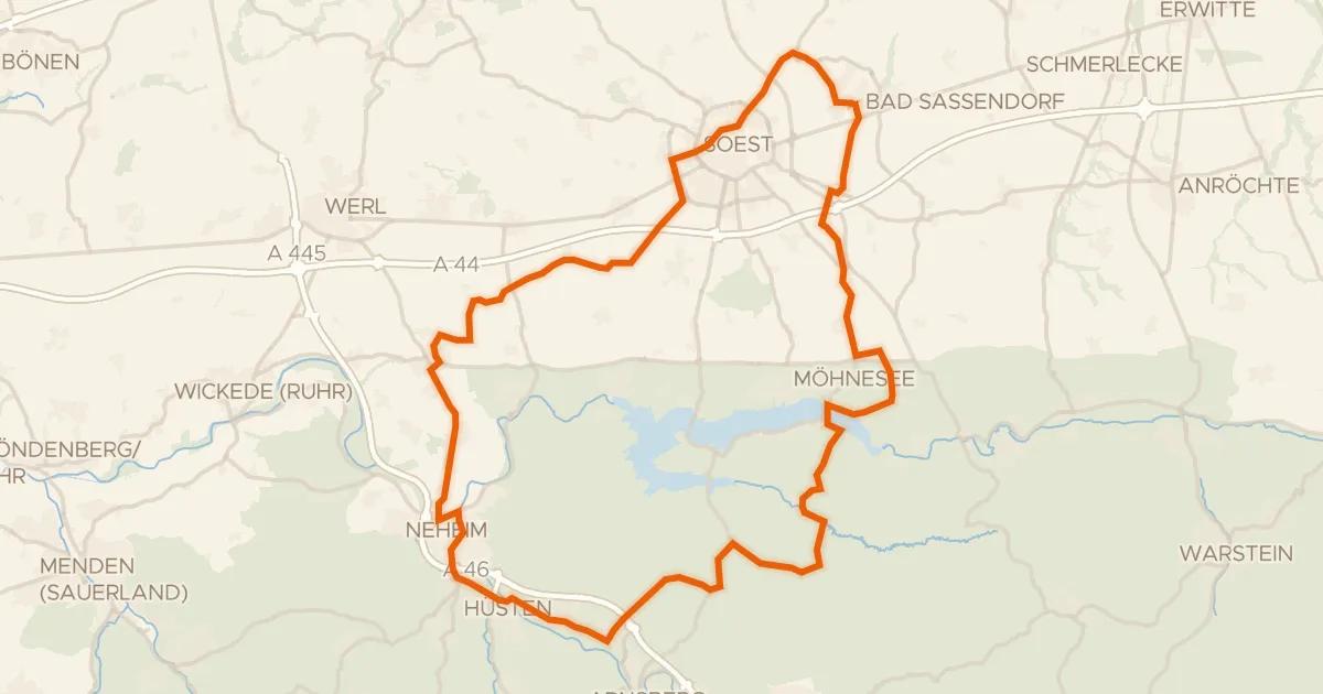
Road bike98% paved
Rondje Arnsberger Wald en Unterlauf der Möhne
74 km↑ 744 m25 km away
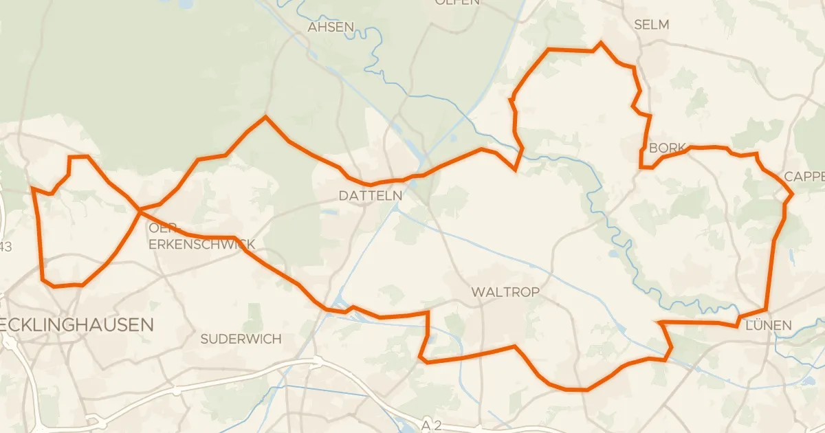
Road bike99% paved
Rondje Schloss Cappenberg en Haus Sandfort
78 km↑ 414 m30 km away
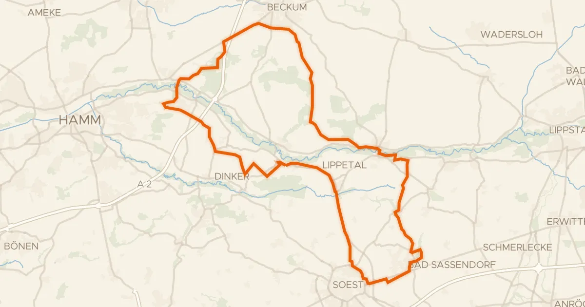
Gravel62% paved
Rondje Schloss Hovestadt en Haus Assen
78 km↑ 296 m30 km away