Back to the librarykm 2 · Apr 2024 · © nrailuj / Mapillary, CC BY-SA km 20 · Jun 2021 · © analuisa / Mapillary, CC BY-SA km 66 · Mar 2025 · © nrailuj / Mapillary, CC BY-SA km 42–45km 53–54
Road bikeRouteCasterRound trip
Rondje Arnsberger Wald en Unterlauf der Möhne
Distance
74 km
Ascent
744 m
Highest point
328 m
98% paved
Start from your location
Ride there from home: we find the shortest way to the loop and start the loop from there.
The ride
Roll out of Bad Sassendorf and the Arnsberger Wald nature reserve opens the ride, followed by the Gerwinsiepen valley, the Möhne and the Wamelbach springs. The route runs 73.9 km with 744 m of climbing, mostly on paved surface. Four nature reserves in a row keep the middle of the ride green. Then it's back to where you started.
Along the way
Climbs
Climb 1Cat. 4
3.2 km at 3.5% · max 8.9%
Climb 2Hill
0.4 km at 6.9% · max 10.9%
Routes nearby
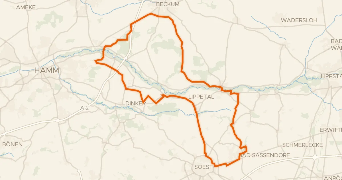
Gravel62% paved
Rondje Schloss Hovestadt en Haus Assen
78 km↑ 296 m12 km away
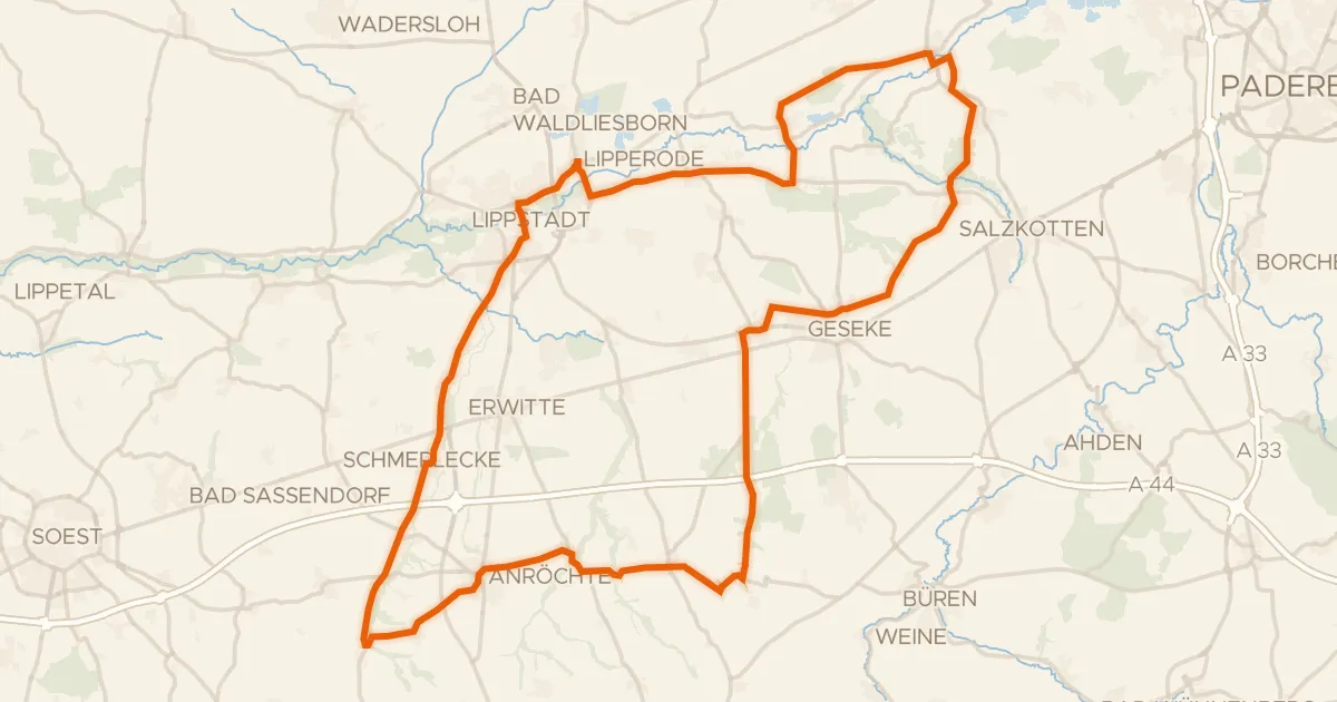
Road bike98% paved
Rondje Schloss Eringerfeld en Boker Heide
85 km↑ 409 m18 km away
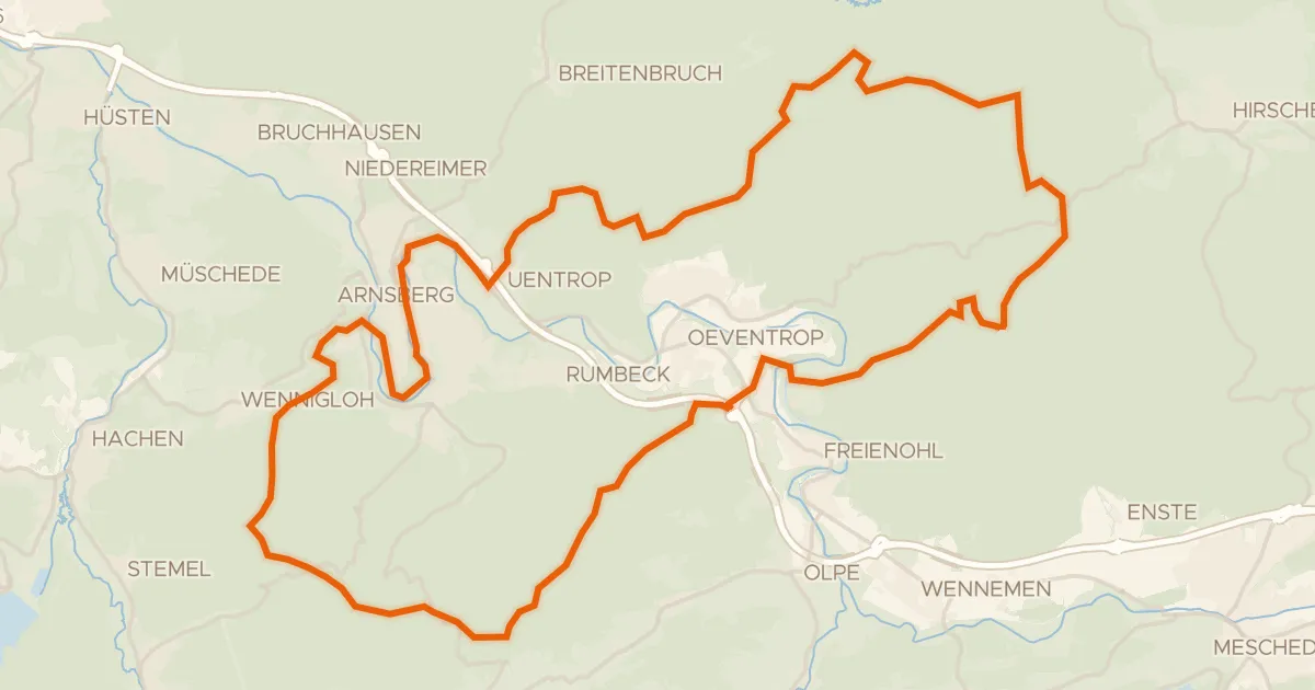
Gravel20% paved
Rondje Arnsberger Schloßruine en Arnsberger Wald
55 km↑ 1,244 m22 km away
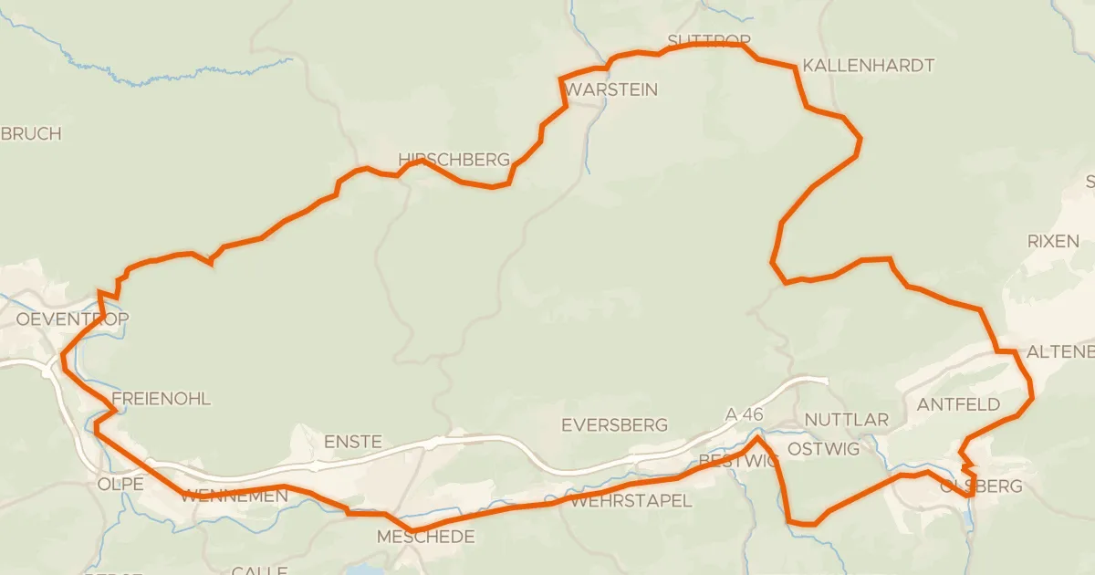
Road bike99% paved
Rondje Wasserschloss Laer en Schloss Gevelinghausen
75 km↑ 1,167 m24 km away
Road bike101% paved
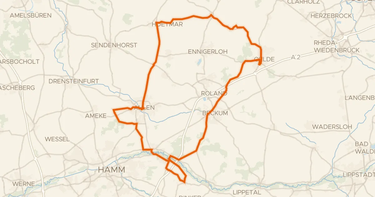
Rondje Haus Vornholz en Haarener Lippeaue
90 km↑ 307 m24 km away
Gravel70% paved
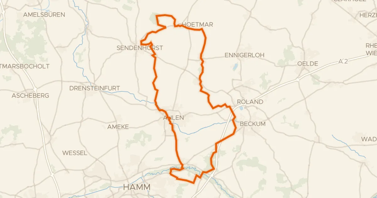
Rondje Haarener Lippeaue en Mühlenlaar
78 km↑ 262 m28 km away