Back to the librarykm 1–3km 6–7km 9–10km 11–12km 13–13km 18–19km 21–25km 26–26km 28–30km 30–31km 34–35km 36–36km 37–37km 41–43km 45–47km 49–54km 59–61km 63–64km 68–69
GravelMade by RouteCasterRound trip
Rondje Große Mühl en Steinerne Mühl
Distance
70 km
Ascent
2,042 m
Highest point
839 m
35% paved
Start from your location
Ride there from home: we find the shortest way to the loop and start the loop from there.
The ride
From Haslach an der Mühl you roll out and back on a 70.1 km loop with 2042 m of climbing. Along the way you pass the Steinerne Mühl river, the Zwettler Bach canal and the Große Mühl river, in that order. The surface splits between paved and unpaved, so expect the ride to change character under your wheels. It's a route that keeps unfolding from the start village and brings you home again.
Climbs
Climb 1Cat. 4
2.4 km at 6.4% · max 23.2%
Climb 2Hill
1 km at 7.5% · max 18.8%
Climb 3Cat. 4
0.9 km at 12.5% · max 23%
Climb 4Cat. 4
1 km at 8.4% · max 15.8%
Climb 5Cat. 4
0.9 km at 13.4% · max 28.4%
Climb 6Hill
1 km at 5.1% · max 18.7%
Climb 7Cat. 3
4 km at 6.6% · max 29.5%
Climb 8Hill
0.5 km at 5.4% · max 19.2%
Climb 9Cat. 3
2.1 km at 7.7% · max 17.2%
Climb 10Hill
0.7 km at 7.3% · max 13.9%
Climb 11Hill
1 km at 5.8% · max 13.4%
Climb 12Hill
0.6 km at 7.5% · max 15%
Climb 13Hill
0.7 km at 11.2% · max 17.9%
Climb 14Hill
1.6 km at 3.1% · max 10.3%
Climb 15Hill
1.7 km at 3.3% · max 18.4%
Climb 16Cat. 3
5 km at 4.4% · max 18.6%
Climb 17Hill
2 km at 3.9% · max 9.5%
Climb 18Cat. 4
1.8 km at 5.1% · max 21.5%
Climb 19Hill
0.8 km at 5.4% · max 9.5%
Routes nearby

Road bike100% paved
Rondje Frauenholz en Große Mühl
80 km↑ 1,452 m12 km away
Gravel56% paved
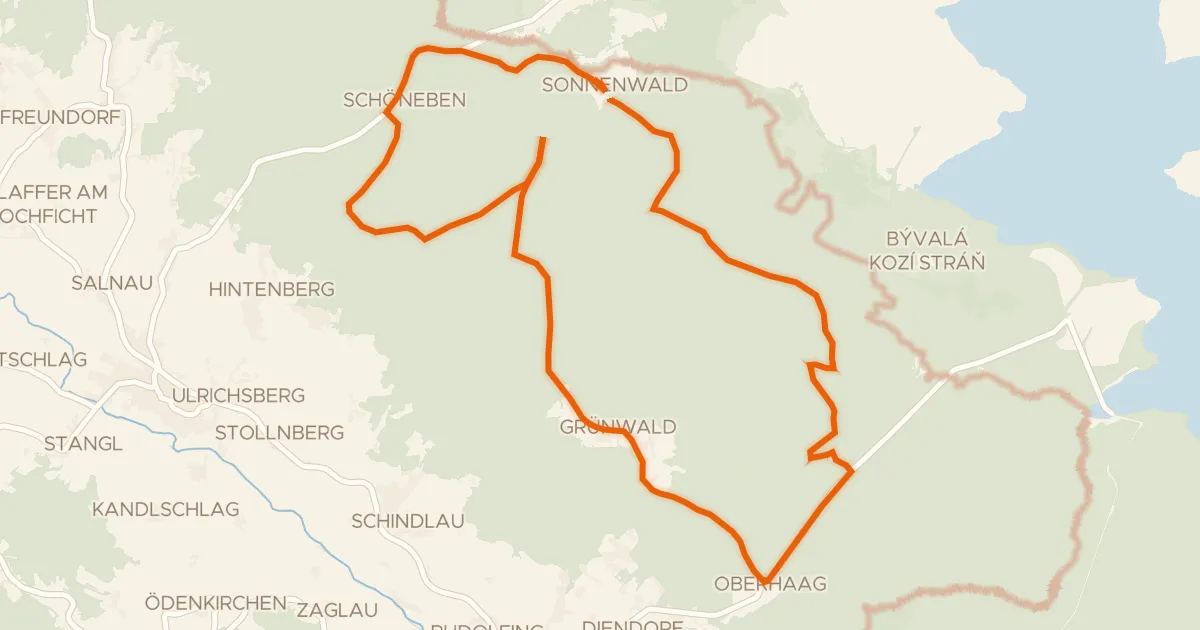
R802, Sonnenwald Radroute
24 km↑ 295 m13 km away
Road bike97% paved
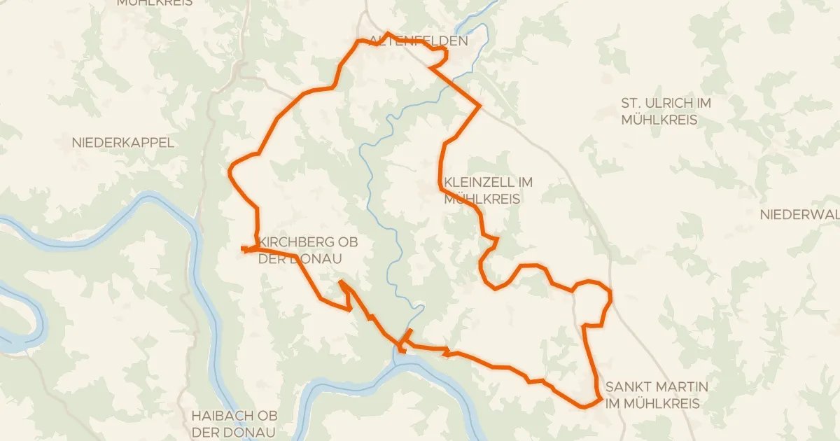
Donau-Granit-Runde
37 km↑ 883 m14 km away
Gravel57% paved
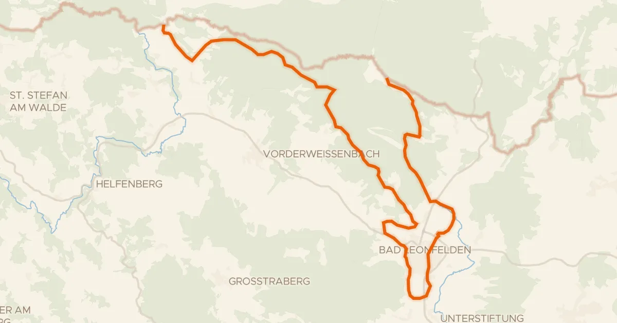
S20, Sternwald Grenzland Runde
30 km↑ 622 m15 km away
Gravel45% paved
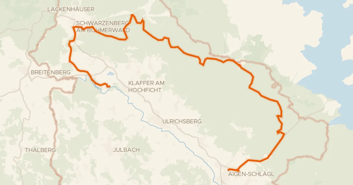
Böhmerwaldweg
35 km↑ 668 m16 km away

Gravel60% paved
Langs de Rodl en Ruine Rottenegg
58 km↑ 1,300 m17 km away