Back to the librarykm 8–14km 16–18km 18–22km 28–29km 47–48km 48–50km 61–63km 64–66km 67–69km 73–80
Road bikeMade by RouteCasterRound trip
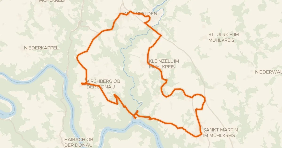
Rondje Frauenholz en Große Mühl
Distance
80 km
Ascent
1,452 m
Highest point
820 m
100% paved
Start from your location
Ride there from home: we find the shortest way to the loop and start the loop from there.
The ride
From Pfarrkirchen im Mühlkreis you roll out toward the Ranna river, then follow the Osterbach before the road leads you through the Frauenholz forest. The Große Mühl river joins the route before the loop brings you back to the start village. Along the way you climb 1452 m over 79.5 km, all of it paved.
Climbs
Climb 1Cat. 3
6.3 km at 3.3% · max 13%
Climb 2Hill
1.9 km at 3% · max 6.8%
Climb 3Cat. 4
3.7 km at 3.5% · max 10.7%
Climb 4Hill
1.2 km at 3.8% · max 6.3%
Climb 5Hill
0.8 km at 4.7% · max 8%
Climb 6Cat. 4
2 km at 6.1% · max 14.9%
Climb 7Cat. 4
1.9 km at 4.5% · max 10.9%
Climb 8Hill
1.6 km at 3.8% · max 10.4%
Climb 9Cat. 4
1.9 km at 5.5% · max 14.1%
Climb 10Cat. 3
6.3 km at 4.1% · max 11.3%
Routes nearby
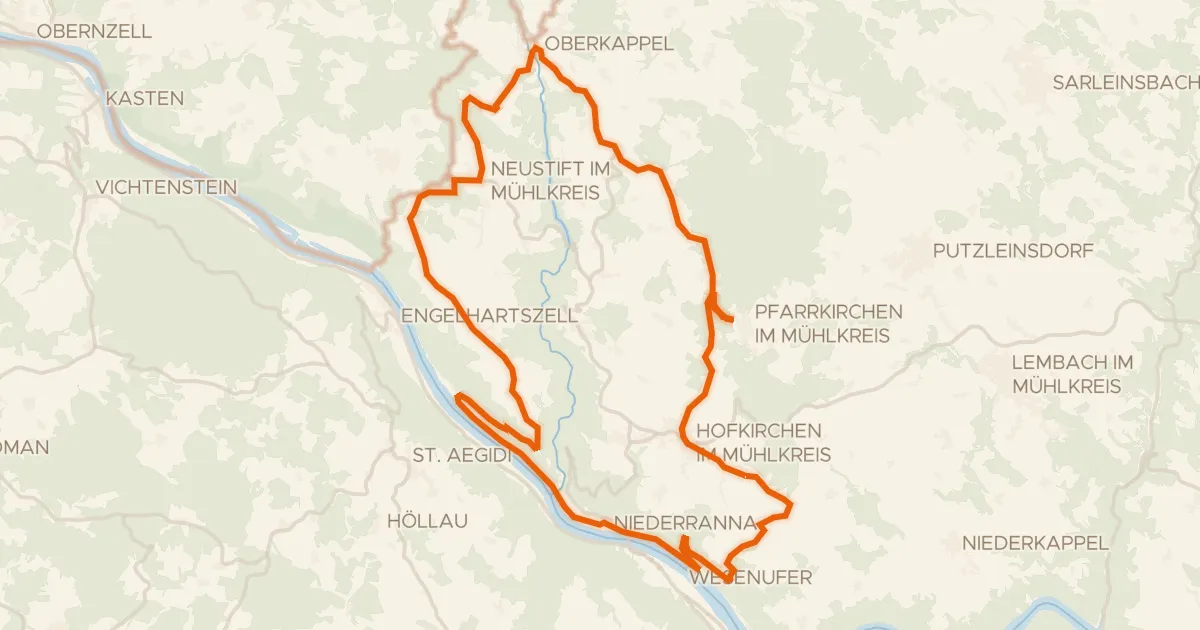
Road bike98% paved
Penzenstein-Runde
40 km↑ 1,016 m3 km away
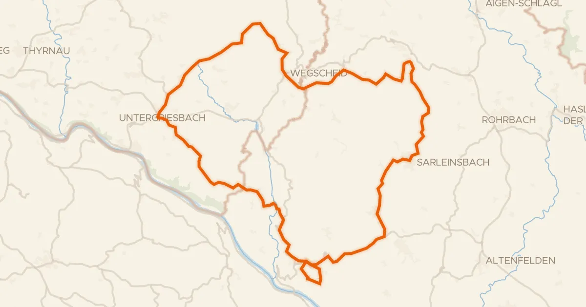
Road bike96% paved
Rondje Schloss Altenhof en Ranna
78 km↑ 1,703 m6 km away
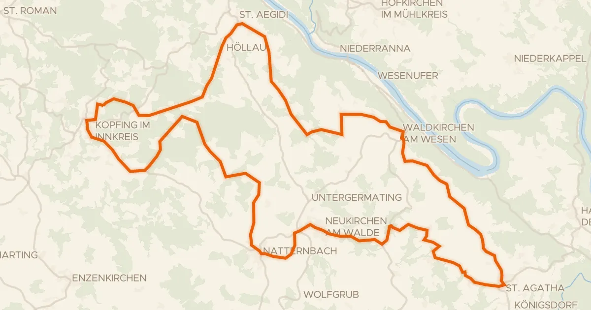
Touring93% paved
Sauwald Panorama-Runde
58 km↑ 1,059 m9 km away

Gravel35% paved
Rondje Große Mühl en Steinerne Mühl
70 km↑ 2,042 m11 km away
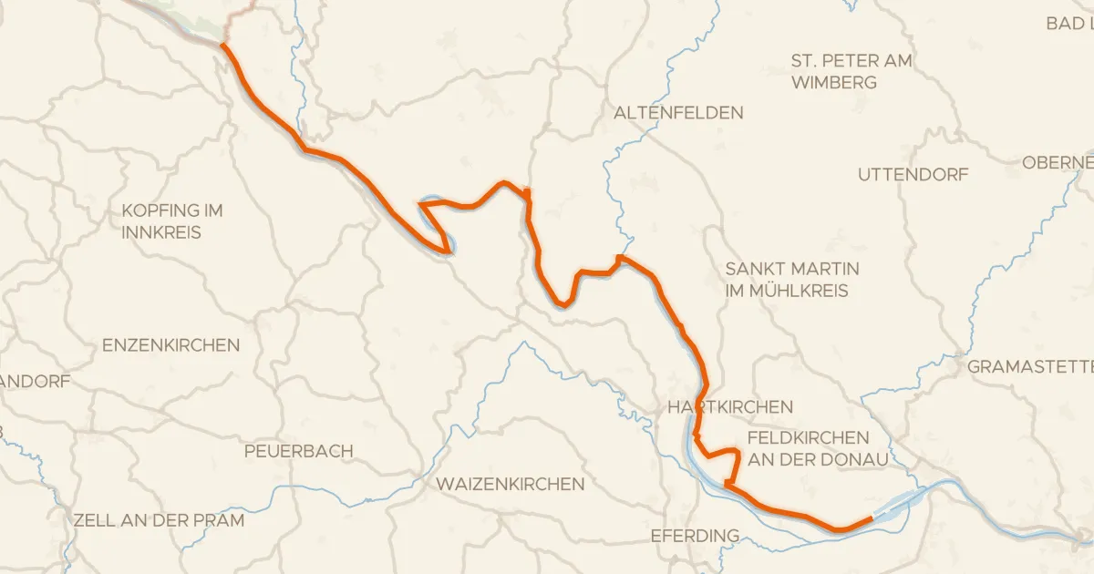
Road bike100% paved
EuroVelo 6 - part Austria - leg 1 north
57 km↑ 477 m13 km away
Road bike97% paved
Donau-Granit-Runde
37 km↑ 883 m13 km away