Back to the librarykm 1–4km 5–8km 11–11km 21–22km 41–42km 49–50km 50–52km 52–53km 53–54km 55–56
GravelMade by RouteCasterRound trip
Langs de Rodl en Ruine Rottenegg
Distance
58 km
Ascent
1,300 m
Highest point
728 m
60% paved
Start from your location
Ride there from home: we find the shortest way to the loop and start the loop from there.
The ride
From Gramastetten the road rolls out and back over 57.8 km, climbing 1300 m along the way. You follow the Rodl river, then pass Ruine Rottenegg castle before turning for home. With 40% of the route unpaved, the mix of paved and gravel keeps things varied. The ride starts and finishes in the same village, so the loop closes where it began.
Climbs
Climb 1Cat. 4
3.1 km at 3.8% · max 22.2%
Climb 2Cat. 4
2.3 km at 6.9% · max 13%
Climb 3Hill
0.7 km at 6.3% · max 10.1%
Climb 4Hill
1 km at 5.1% · max 11.1%
Climb 5Cat. 4
1.4 km at 6.4% · max 21.6%
Climb 6Hill
1.4 km at 4.5% · max 19%
Climb 7Hill
1.3 km at 3.8% · max 13.3%
Climb 8Cat. 4
1.2 km at 9.3% · max 30.2%
Climb 9Hill
1 km at 7.6% · max 22.7%
Climb 10Hill
0.8 km at 6.7% · max 14.3%
Routes nearby

Road bike100% paved
Rondje Schloss Waxenberg en Schauerwald
75 km↑ 1,610 m9 km away

Road bike100% paved
Rondje langs Schloss Auhof en Schloss Riedegg
75 km↑ 1,491 m9 km away
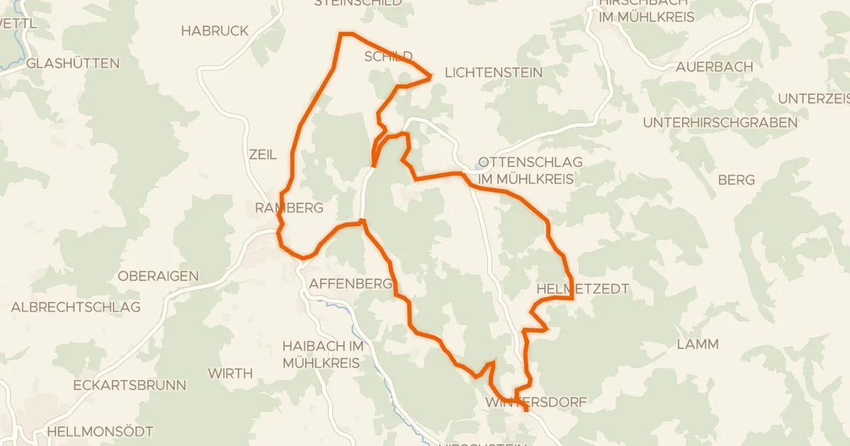
Road bike100% paved
S23, Steinbloß Runde
21 km↑ 500 m16 km away
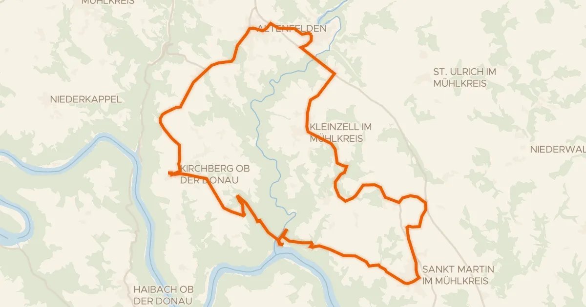
Road bike97% paved
Donau-Granit-Runde
37 km↑ 883 m17 km away

Gravel49% paved
Rondje Schloss Starhemberg en Donau
56 km↑ 1,154 m18 km away
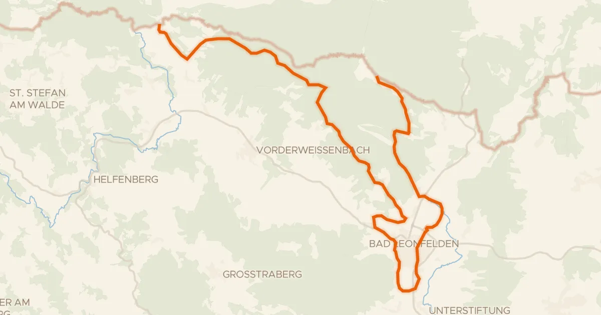
Gravel57% paved
S20, Sternwald Grenzland Runde
30 km↑ 622 m19 km away