Back to the librarykm 0–8km 13–22km 28–33km 36–38km 43–49km 55–56
Road bikeMade by RouteCasterRound trip
Rondje langs Schloss Auhof en Schloss Riedegg
Distance
75 km
Ascent
1,491 m
Highest point
807 m
100% paved
Start from your location
Ride there from home: we find the shortest way to the loop and start the loop from there.
The ride
From Gallneukirchen you roll out for a loop of 74.8 km with 1491 m of climbing. The route follows the Große Gusen river, passes Schloss Auhof castle and slips through the Dreieggwald forest. Schloss Riedegg castle comes next before the road brings you back to where you started. It's all paved, so the riding stays on tarmac the whole way round.
Climbs
Climb 1Cat. 3
7.3 km at 3.8% · max 11.5%
Climb 2Cat. 2
8.8 km at 4.1% · max 26%
Climb 3Cat. 3
5.1 km at 3.9% · max 23.8%
Climb 4Cat. 4
1.7 km at 6.9% · max 11.7%
Climb 5Cat. 3
6 km at 3.2% · max 10.8%
Climb 6Hill
1.2 km at 3.9% · max 8.3%
Routes nearby

Gravel39% paved
Rondje Schloss Steyregg en Donau
64 km↑ 1,143 m9 km away

Road bike98% paved
Rondje Schloss Freistadt en Feldaist
89 km↑ 1,521 m12 km away
Road bike100% paved
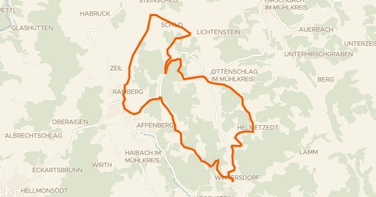
S23, Steinbloß Runde
21 km↑ 500 m12 km away

Road bike100% paved
Rondje Schloss Waxenberg en Schauerwald
75 km↑ 1,610 m19 km away

Gravel29% paved
Rondje Gutau en Schloss Tannbach
61 km↑ 1,757 m19 km away
Road bike100% paved
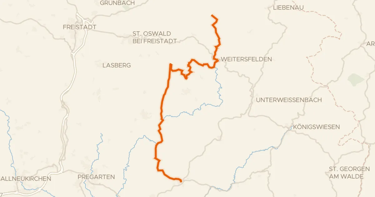
Alm Aisttal Radroute
37 km↑ 1,020 m22 km away