Back to the library
Road bikeRouteCasterRound trip

Rondje Fuldatal bei Konnefeld en Reichenbacher Kalkberge

Distance
77 km
Ascent
857 m
Highest point
444 m
100% paved

Start from your location

Ride there from home: we find the shortest way to the loop and start the loop from there.

The ride

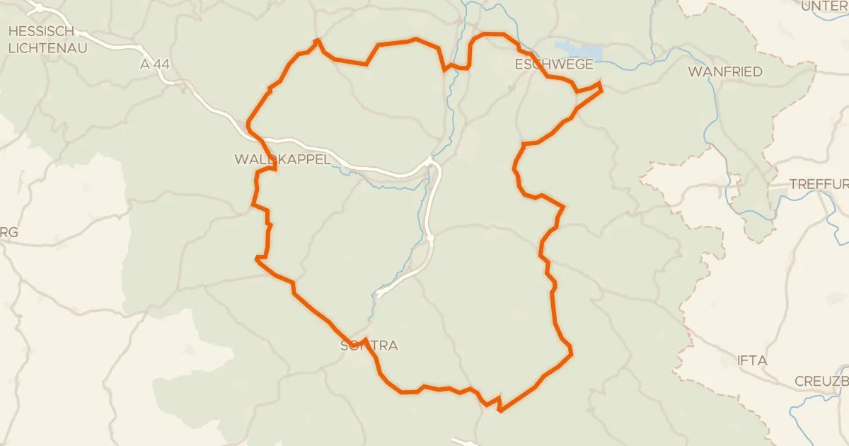
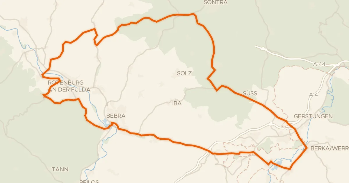
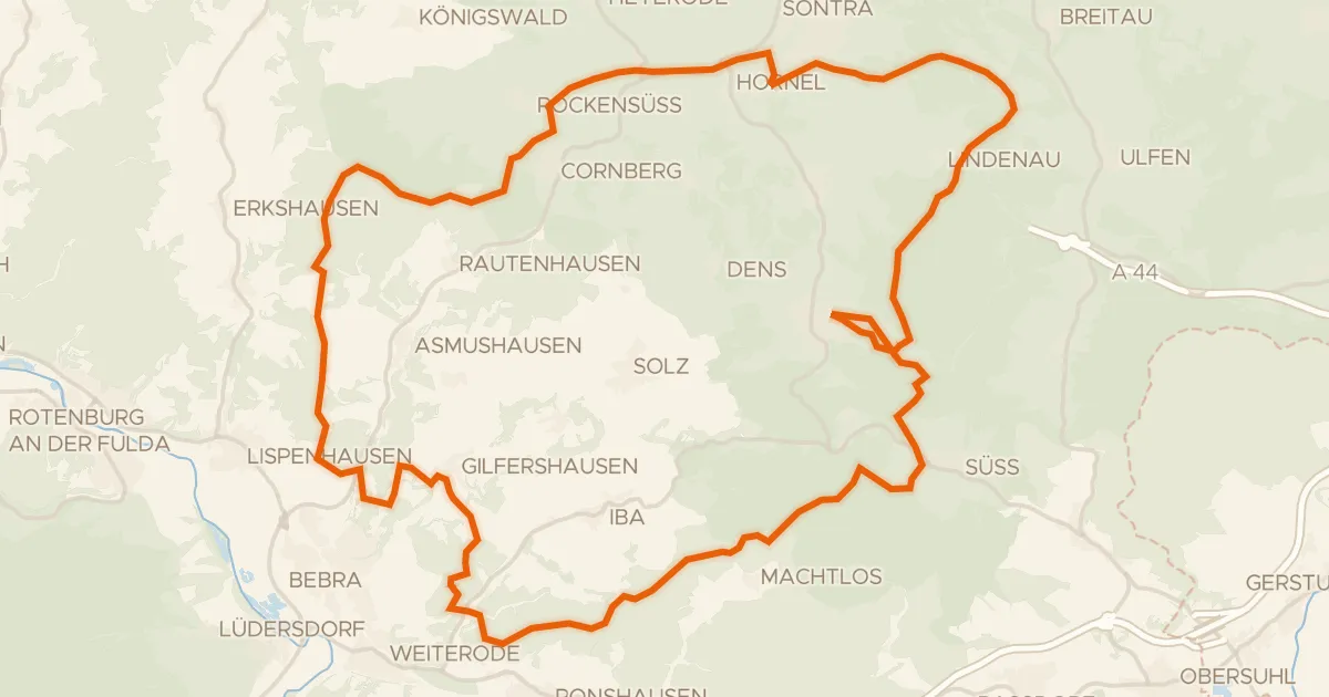
Roll out from Parkeerplaats Fuldatal bei Konnefeld and straight into the Fuldatal bei Konnefeld nature reserve. The route then winds through the Weißbachtal bei Reichenbach nature reserve before climbing into the Reichenbacher Kalkberge nature reserve. On to the Wacholderheide bei Vockerode-Dinkelberg, a heath that rounds off the loop. All 77.0 km are paved, with 857 m of climbing, and the finish brings you back to where you started.
Along the way

km 2 · Jun 2019 · © bejotel / Mapillary, CC BY-SA
km 37 · May 2019 · © s3bax / Mapillary, CC BY-SA
km 43 · Oct 2022 · © s3bax / Mapillary, CC BY-SA
km 63 · Jun 2019 · © plexi32 / Mapillary, CC BY-SA

Climbs

Climb 1Cat. 4
3.6 km at 3.5% · max 14.9%
km 49–52
Climb 2Cat. 4
3.3 km at 3.3% · max 9%
km 65–68

Routes nearby

More cycling routes in Germany →