Back to the librarykm 2 · Jun 2025 · © StefanS79 / Mapillary, CC BY-SA km 39 · Jun 2025 · © StefanS79 / Mapillary, CC BY-SA km 56 · Apr 2026 · © poxonline / Mapillary, CC BY-SA km 77 · Jun 2025 · © StefanS79 / Mapillary, CC BY-SA km 21–24km 29–32
Road bikeRouteCasterRound trip
Rondje Schloss Rittershain en Säulingssee bei Kleinensee
Distance
82 km
Ascent
1,072 m
Highest point
471 m
100% paved
Start from your location
Ride there from home: we find the shortest way to the loop and start the loop from there.
The ride
Roll out from Parkeerplaats Ulfewiesen bei Weiterode and straight into the nature reserve, then on past Im Sand bei Rotenburg. Schloss Rittershain comes next, followed by Sorgwiesen bei Weißenhasel, before Schloss Dippach and the Säulingssee bei Kleinensee nature reserve round things off. It's 81.7 km, all paved, with 1072 m of climbing, and it ends right back at Ulfewiesen.
Along the way
Climbs
Climb 1Cat. 3
3.1 km at 6.6% · max 14.6%
Climb 2Cat. 3
2.9 km at 6% · max 22.1%
Routes nearby
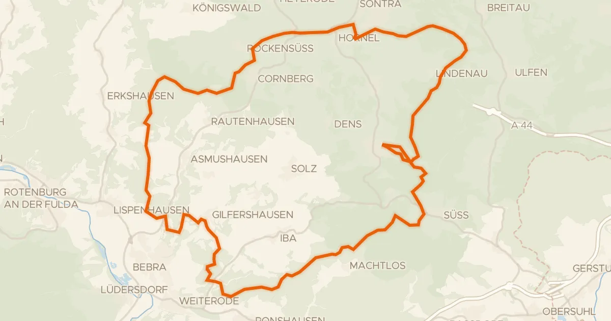
Gravel21% paved
Rondje Tannenburg en Geo-Naturpark Frau-Holle-Land
61 km↑ 1,310 m8 km away
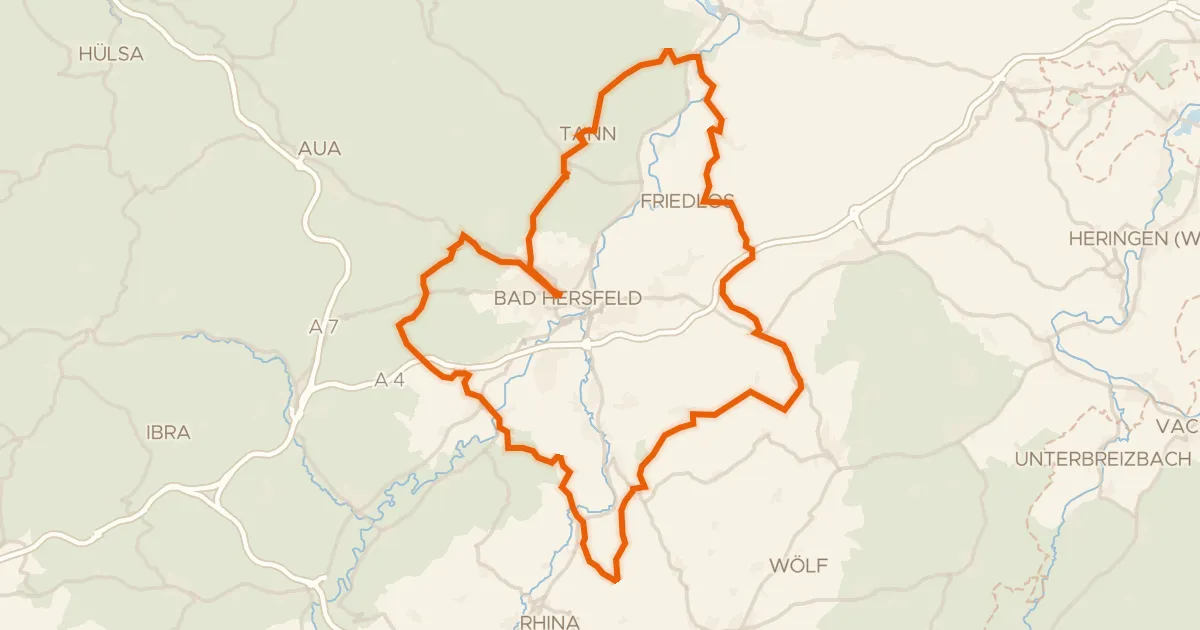
Gravel23% paved
Rondje Alte Fulda bei Asbach en Eichberg
76 km↑ 1,732 m12 km away
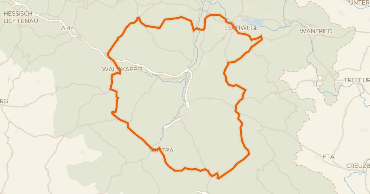
Road bike100% paved
Rondje Schlierbachswald en Werra
75 km↑ 1,198 m21 km away
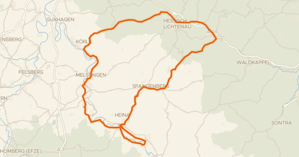
Road bike100% paved
Rondje Fuldatal bei Konnefeld en Reichenbacher Kalkberge
77 km↑ 857 m23 km away
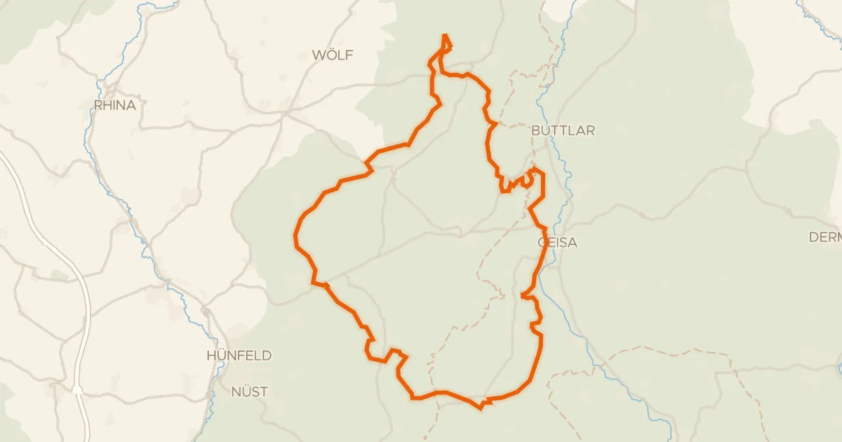
Gravel15% paved
Rondje Schloss Geisa en Breiter Berg bei Haselstein
60 km↑ 1,437 m26 km away
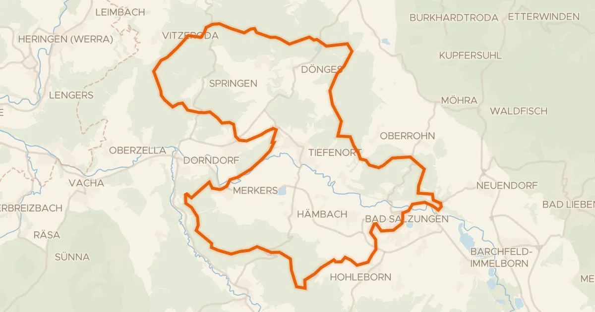
Gravel16% paved
Rondje Burg Frankenstein en Werra
63 km↑ 1,267 m27 km away