Back to the librarykm 0–9km 14–15km 18–19km 21–21km 42–45km 54–56km 66–68km 68–70
Road bikeMade by RouteCasterRound trip
Rondje Forte Cascinotto en Rocca dell'Adelasia
Distance
70 km
Ascent
1,645 m
Highest point
751 m
99% paved
Start from your location
Ride there from home: we find the shortest way to the loop and start the loop from there.
The ride
Roll out of Santuario and the route soon slips past the Rocca dell'Adelasia nature reserve, then the Rocchetta Cairo nature reserve. Next comes the castle at Castello Cairo Montenotte, before the road returns to the Riserva Regionale dell'Adelasia and on to Forte Cascinotto, another castle. With 70.1 km and 1645 m of climbing, it's a lively loop that ends back in Santuario.
Climbs
Climb 1Cat. 1
9 km at 7.1% · max 29.4%
Climb 2Cat. 3
1.8 km at 9.8% · max 31.2%
Climb 3Hill
0.5 km at 8.7% · max 11.3%
Climb 4Hill
0.7 km at 4% · max 8.9%
Climb 5Cat. 4
3.3 km at 3.2% · max 9%
Climb 6Hill
1.6 km at 4.2% · max 13.5%
Climb 7Hill
1.4 km at 3.9% · max 12%
Climb 8Hill
1.2 km at 3.1% · max 13.1%
Routes nearby
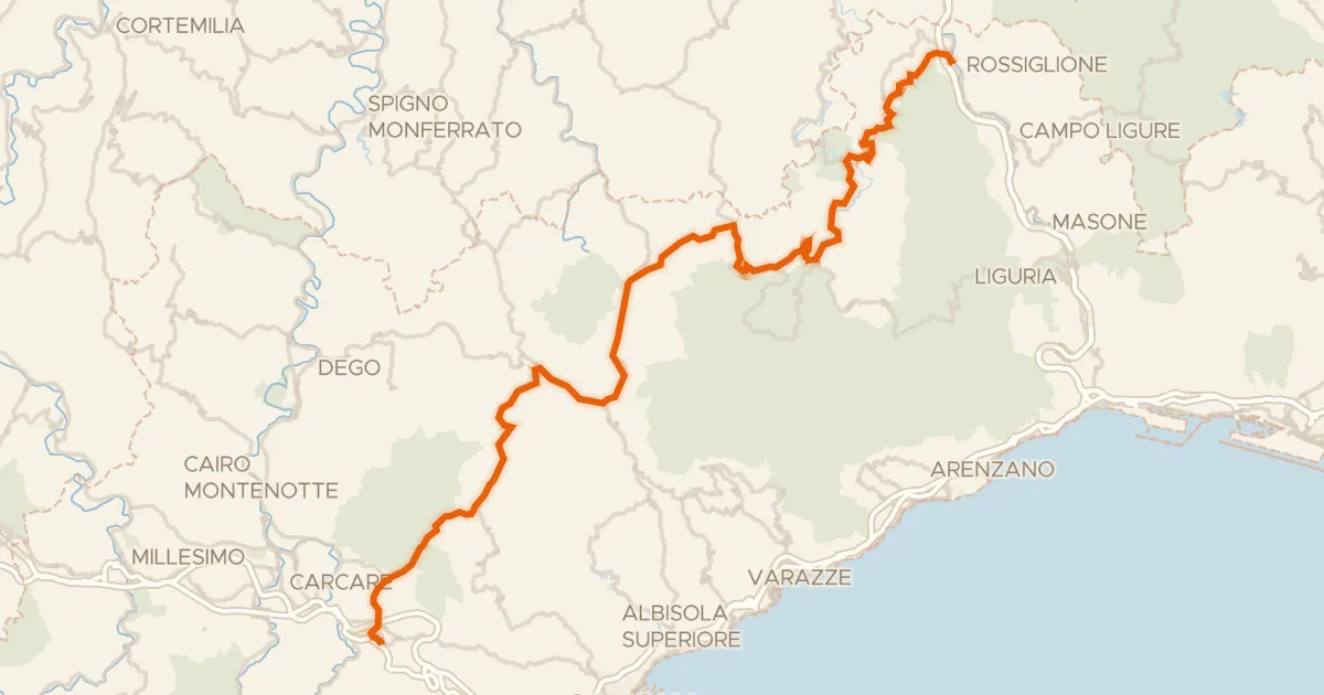
Road bike100% paved
ABT Tappa 1: Altare - Rossiglione
66 km↑ 1,459 m13 km away
Passo del Giovo · Colle di Santa Libera

Gravel26% paved
Rondje Ponzone en Torrente Erro
59 km↑ 2,418 m27 km away

Road bike100% paved
Rondje Castello Marchesi del Carretto en Tanaro
75 km↑ 2,084 m29 km away

Gravel48% paved
Rondje Torre Medievale
56 km↑ 2,063 m35 km away

Road bike100% paved
Langs de Reggia di Valcasotto en de Tanaro
80 km↑ 3,234 m36 km away
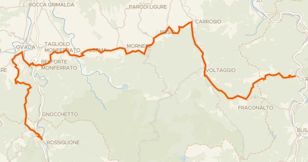
Road bike100% paved
ABT Tappa 2: Rossiglione - Ronco Scrivia
56 km↑ 1,434 m41 km away
Passo della Castagnola