Back to the librarykm 3–5km 7–9km 10–12km 15–16km 22–23km 24–27km 29–32km 32–33km 41–42km 43–45km 48–49km 54–55km 55–56km 57–59
GravelMade by RouteCasterRound trip
Rondje Ponzone en Torrente Erro
Distance
59 km
Ascent
2,418 m
Highest point
787 m
26% paved
Start from your location
Ride there from home: we find the shortest way to the loop and start the loop from there.
The ride
This ride sets off from Ponzone and heads for the river at Visone, then follows the Torrente Erro. Along the way you take in 58.5 km with 2418 m of climbing, mostly on unpaved surface. It's a loop that starts and finishes in the same village, so the rivers come and go before you roll back to Ponzone.
Climbs
Climb 1Hill
1.6 km at 4.5% · max 11.7%
Climb 2Cat. 3
2.6 km at 6.5% · max 25.4%
Climb 3Cat. 3
2.2 km at 7.7% · max 18%
Climb 4Hill
1.1 km at 6.4% · max 18%
Climb 5Cat. 4
1.8 km at 4.9% · max 13.2%
Climb 6Cat. 3
3.2 km at 9.2% · max 31%
Climb 7Cat. 3
2.7 km at 11% · max 39.3%
Climb 8Cat. 3
1.4 km at 17.3% · max 34.9%
Climb 9Cat. 3
1.2 km at 13.6% · max 29.2%
Climb 10Cat. 4
1.9 km at 6.9% · max 26.2%
Climb 11Hill
0.7 km at 7% · max 14.1%
Climb 12Hill
1 km at 6% · max 16.7%
Climb 13Cat. 4
1.4 km at 7.5% · max 18.9%
Climb 14Cat. 3
1.8 km at 14.3% · max 28.3%
Routes nearby
Road bike100% paved
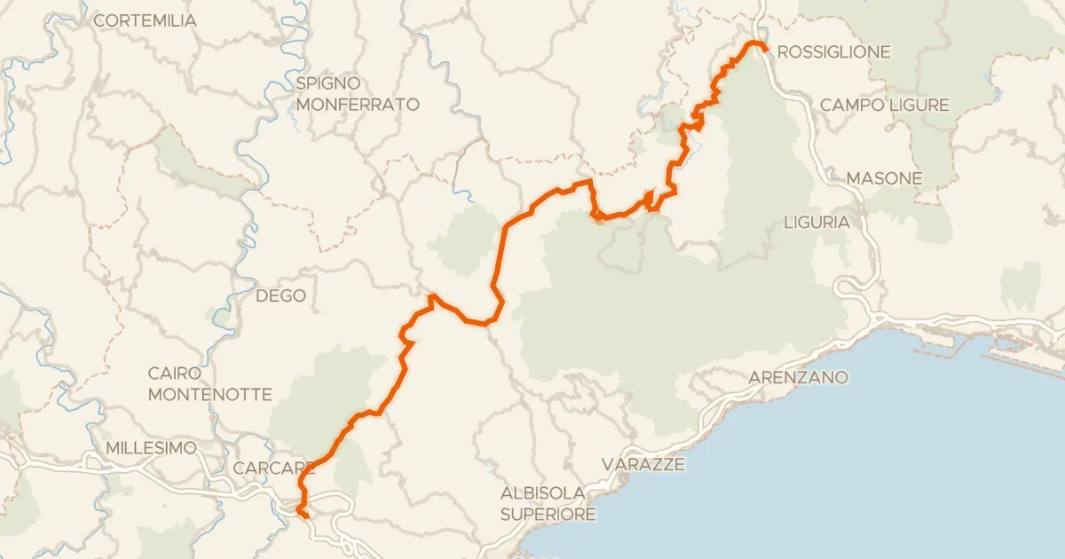
ABT Tappa 1: Altare - Rossiglione
66 km↑ 1,459 m16 km away
Passo del Giovo · Colle di Santa Libera

Gravel48% paved
Rondje Torre Medievale
56 km↑ 2,063 m18 km away

Road bike99% paved
Rondje Forte Cascinotto en Rocca dell'Adelasia
70 km↑ 1,645 m24 km away
Road bike100% paved
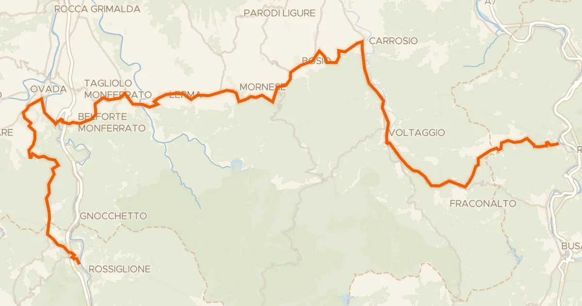
ABT Tappa 2: Rossiglione - Ronco Scrivia
56 km↑ 1,434 m26 km away
Passo della Castagnola

Gravel36% paved
Rondje Torre Medievale en Tanaro
59 km↑ 1,927 m28 km away

Road bike100% paved
Rondje Forte di Gavi en Castello di Francavilla Bisio
75 km↑ 497 m29 km away