Back to the librarykm 18 · Jun 2024 · © VisitAlpiLiguri / Mapillary, CC BY-SA km 22 · Jun 2024 · © VisitAlpiLiguri / Mapillary, CC BY-SA km 55 · Jun 2024 · © VisitAlpiLiguri / Mapillary, CC BY-SA km 0–1km 6–6km 6–7km 7–8km 8–9km 9–10km 10–11km 11–16km 27–33km 41–43km 50–55km 59–68km 69–70km 73–75km 78–80
Road bikeMade by RouteCasterRound trip
Langs de Reggia di Valcasotto en de Tanaro
Distance
80 km
Ascent
3,234 m
Highest point
1,381 m
100% paved
Start from your location
Ride there from home: we find the shortest way to the loop and start the loop from there.
The ride
From San Giacomo di Roburent you roll out on 80.3 km of paved road, climbing all the way to 3234 m of elevation gain. First up is the Reggia di Valcasotto, a castle, then you follow the Tanaro river before the Torre Medioevale di Battifollo, another castle, comes into view. A third castle, Castello Cordero di Pamparato, rounds off the ride before the road brings you back to where you started.
Along the way
Climbs
Climb 1Hill
0.9 km at 5.2% · max 10%
Climb 2Hill
0.6 km at 8.4% · max 16.1%
Climb 3Hill
0.2 km at 21.4% · max 24.4%
Climb 4Cat. 4
1.7 km at 5.6% · max 15.2%
Climb 5Hill
0.7 km at 5.3% · max 27.6%
Climb 6Hill
0.8 km at 4.6% · max 12.2%
Climb 7Hill
0.7 km at 7.2% · max 19.1%
Colla di CasottoCat. 2
5.4 km at 7.1% · max 22.8%
Climb 9Cat. 2
6.3 km at 7.8% · max 26.9%
Colle dei GiovettiCat. 3
2.5 km at 11.4% · max 38.3%
Climb 11Cat. 2
5 km at 7.7% · max 41.4%
Colla di San GratoCat. 2
8.5 km at 6.3% · max 46%
Climb 13Hill
0.9 km at 4.9% · max 19.7%
Climb 14Cat. 3
2 km at 9.6% · max 29.7%
Climb 15Cat. 3
1.8 km at 13.2% · max 46%
Routes nearby
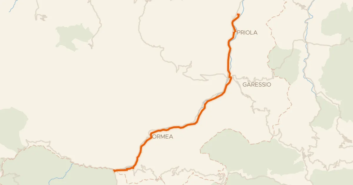
Touring75% paved
Ciclovia del Tanaro
27 km↑ 238 m13 km away

Road bike100% paved
Rondje Tanaro en Pesio
74 km↑ 800 m20 km away

Gravel35% paved
Rondje Castello di Ormea en Tanaro
54 km↑ 2,548 m20 km away

Road bike100% paved
Langs de Tanaro en de Pesio
78 km↑ 589 m22 km away

Road bike100% paved
Rondje Castello Marchesi del Carretto en Tanaro
75 km↑ 2,084 m25 km away

Road bike99% paved
Rondje Cherasco en Tanaro
95 km↑ 956 m35 km away