Back to the library
GravelMade by RouteCasterRound trip
Rondje Château Klinglin en Château d'Osthoffen
Distance
60 km
Ascent
261 m
Highest point
255 m
49% paved
Start from your location
Ride there from home: we find the shortest way to the loop and start the loop from there.
The ride
Roll out of Illkirch-Graffenstaden and follow the Ill and the Mossig rivers before the towers of Château d'Osthoffen rise ahead. Two forts, Kleber and Kléber, break up the ride, then the Bruche and its canal carry you onward past Château Klinglin. Of the 60.0 km, roughly half runs unpaved, with 261 m of climbing along the way. Then it's back to where you started.
Routes nearby
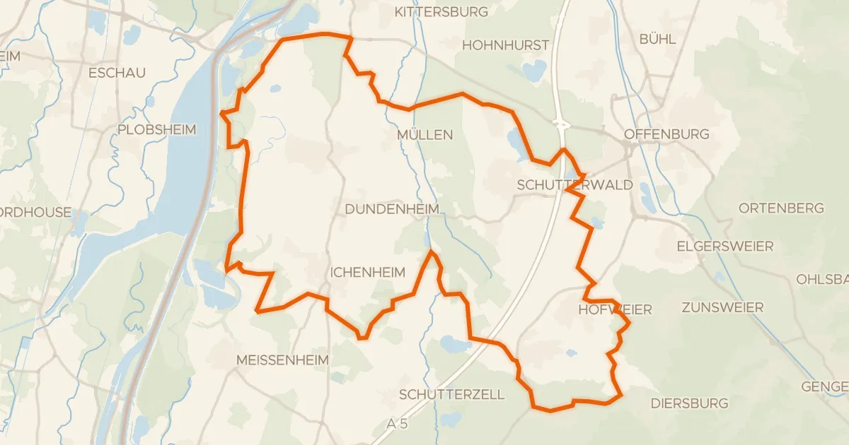
Gravel38% paved
Rondje Langwald en Sauscholle
56 km↑ 238 m14 km away

Road bike97% paved
Langs de L'Ill en La Souffel
77 km↑ 400 m18 km away
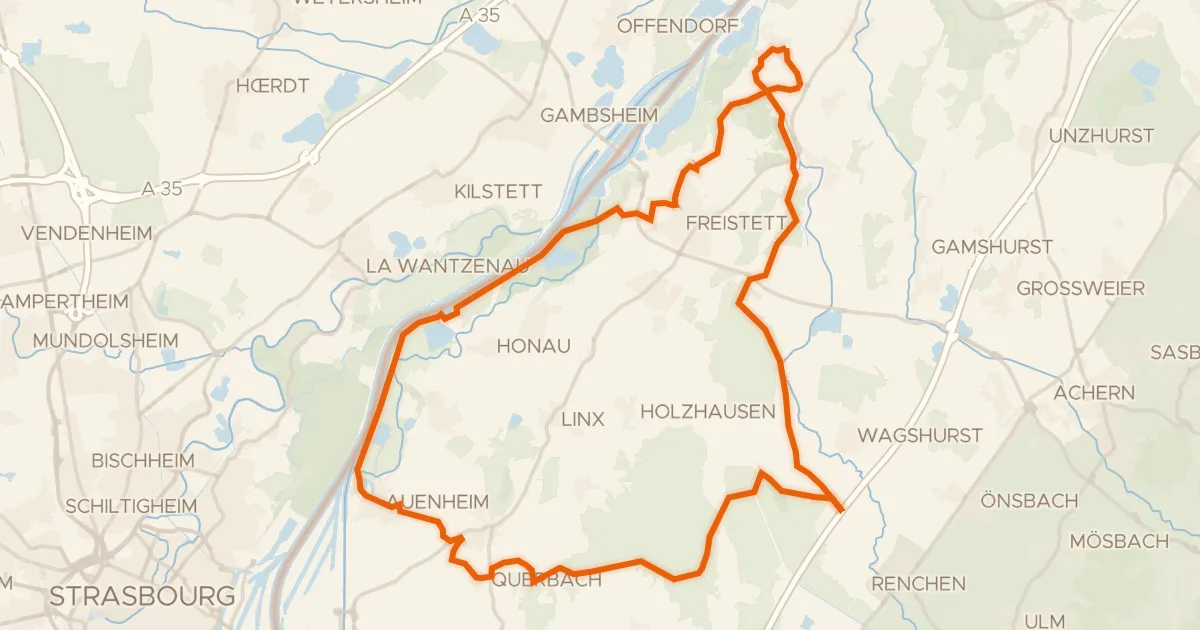
Gravel23% paved
Rondje Fort Blumenthal en Mittelgrund Helmlingen
54 km↑ 137 m20 km away
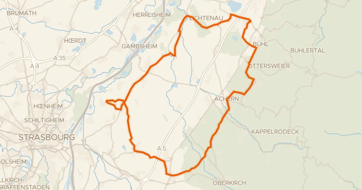
Road bike97% paved
Rondje Hinterwörth-Laast en Abtsmoor
79 km↑ 304 m24 km away
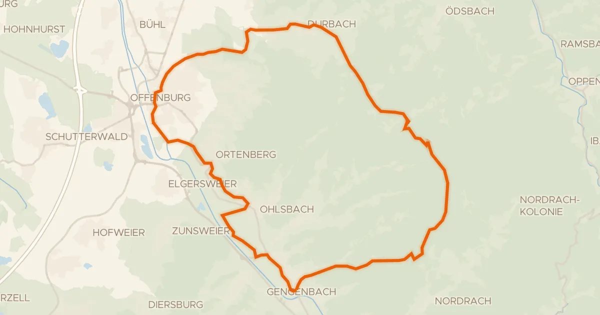
Touring79% paved
SchwedenTour
41 km↑ 717 m24 km away
Kornebene

Gravel18% paved
Rondje Château de Spesbourg en Château du Haut-Andlau
61 km↑ 1,239 m28 km away