Back to the librarykm 1–2km 11–14km 15–17km 18–20km 22–23km 28–29km 29–38km 42–45km 50–54
GravelMade by RouteCasterRound trip
Rondje Château du Haut-Hattstatt en La Lauch
Distance
57 km
Ascent
1,639 m
Highest point
900 m
11% paved
Start from your location
Ride there from home: we find the shortest way to the loop and start the loop from there.
The ride
Roll out of Guebwiller and let the ride unfold: first past the Réserve naturelle des collines de Rouffach, then into the Parc naturel régional des Ballons des Vosges. You follow La Lauch for a stretch and climb toward the Château du Haut-Hattstatt, a castle on the way. With 1639 m of climbing over mostly unpaved tracks, it keeps you honest before looping back to Guebwiller.
Climbs
Climb 1Hill
1.3 km at 6.1% · max 14.2%
Climb 2Cat. 3
2.9 km at 5.9% · max 21%
Climb 3Hill
1.2 km at 4.6% · max 9.6%
Climb 4Cat. 4
1.7 km at 5.4% · max 12.5%
Climb 5Hill
0.7 km at 7.5% · max 11.1%
Climb 6Hill
1.1 km at 3% · max 6.8%
Climb 7Cat. 2
8.4 km at 6.8% · max 20.4%
Climb 8Cat. 3
2.8 km at 6.3% · max 19.6%
Climb 9Cat. 3
3.9 km at 4.3% · max 12.8%
Routes nearby

Road bike100% paved
Rondje Château de Bucheneck en Château de l'Engelbourg
75 km↑ 1,256 m9 km away

Gravel28% paved
Rondje La Doller en La Thur
59 km↑ 631 m16 km away

Road bike99% paved
Rondje Château de Kaysersberg en L'Ill
80 km↑ 1,105 m26 km away
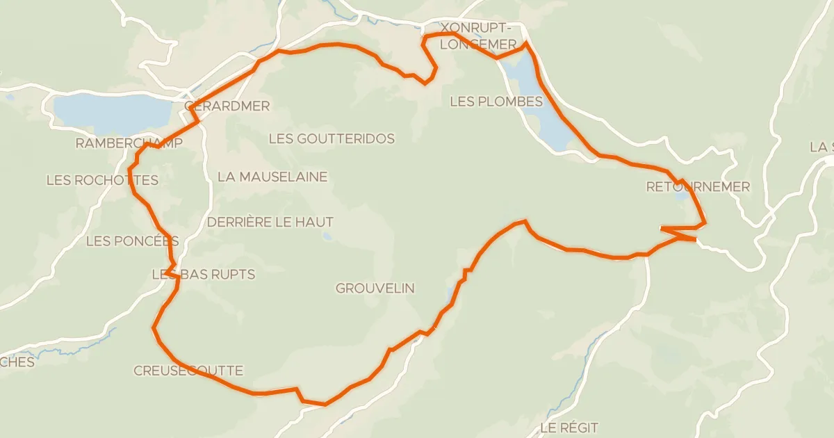
Road bike100% paved
La route des lacs
31 km↑ 714 m27 km away
Col de Grosse Pierre · Col de Grande Basse

Gravel19% paved
Rondje Château de Saulxures en La Moselotte
59 km↑ 2,301 m28 km away

Gravel25% paved
Rondje La Bourbeuse en La Madeleine
63 km↑ 499 m36 km away