Back to the librarykm 30–31km 33–58
Road bikeMade by RouteCasterRound trip
Rondje Château de Bucheneck en Château de l'Engelbourg
Distance
75 km
Ascent
1,256 m
Highest point
1,203 m
100% paved
Start from your location
Ride there from home: we find the shortest way to the loop and start the loop from there.
The ride
Roll out of Oderen and the climbing begins, with 1256 m of elevation gain waiting across the route. You pass the castle Château de l'Engelbourg, then ride into the Parc naturel régional des Ballons des Vosges nature reserve, following La Thur river along the way. Next come Château de Bucheneck castle and the Réserve biologique dirigée de Guebwiller nature reserve, before La Lauch river leads you back to Oderen. Every metre is paved, so the surface stays consistent from start to finish.
Climbs
Climb 1Hill
1 km at 3.9% · max 6.5%
Climb 2HC
25.4 km at 3.6% · max 41.7%
Routes nearby

Gravel19% paved
Rondje Château de Saulxures en La Moselotte
59 km↑ 2,301 m12 km away
Road bike100% paved
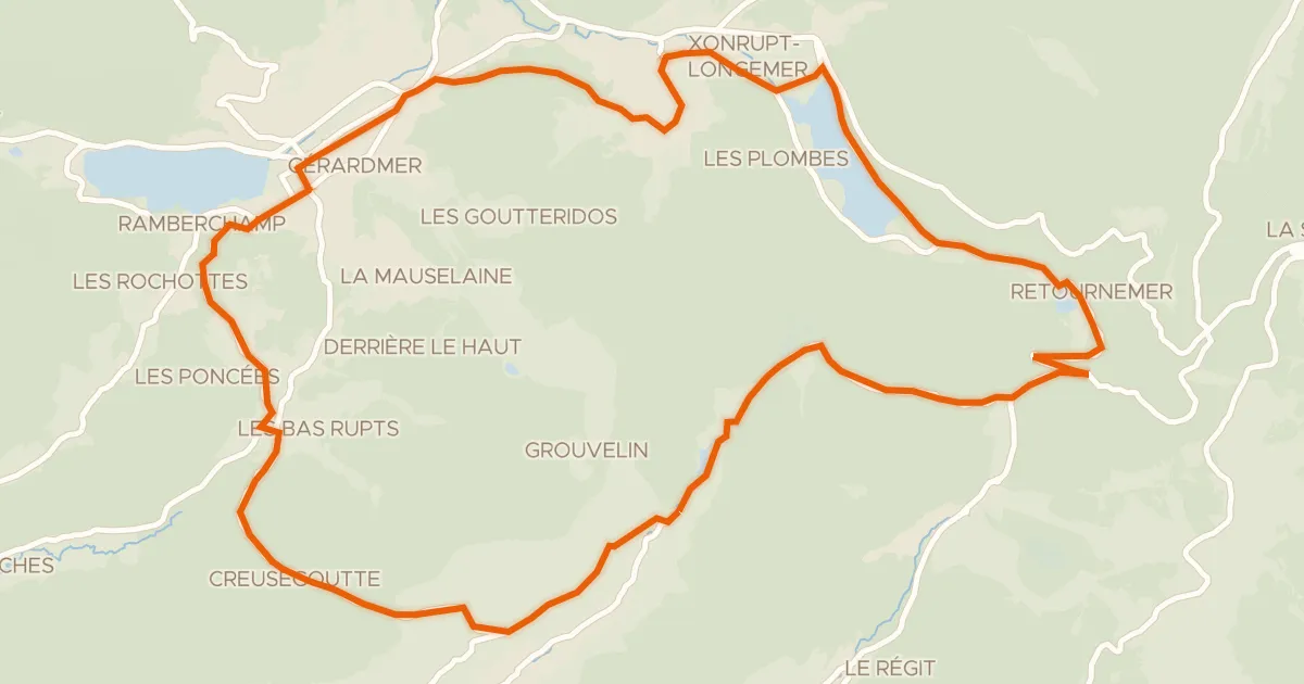
La route des lacs
31 km↑ 714 m16 km away
Col de Grosse Pierre · Col de Grande Basse

Gravel11% paved
Rondje Château du Haut-Hattstatt en La Lauch
57 km↑ 1,639 m21 km away

Gravel13% paved
Langs de La Moselle en het Canal
60 km↑ 2,046 m21 km away
Road bike100% paved
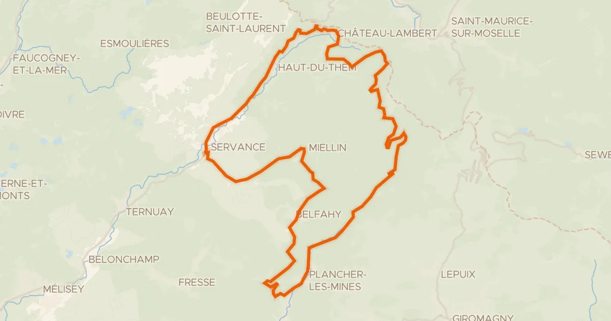
Boucle des Belles Filles
51 km↑ 1,357 m21 km away
Col des Croix · Col des Chevrères

Gravel28% paved
Rondje La Doller en La Thur
59 km↑ 631 m21 km away