Back to the librarykm 2–5km 23–24km 36–38km 38–39km 39–41km 43–49
Road bikeMade by RouteCasterRound trip
Rondje Château de Recoules en L'Aveyron
Distance
70 km
Ascent
1,095 m
Highest point
830 m
100% paved
Start from your location
Ride there from home: we find the shortest way to the loop and start the loop from there.
The ride
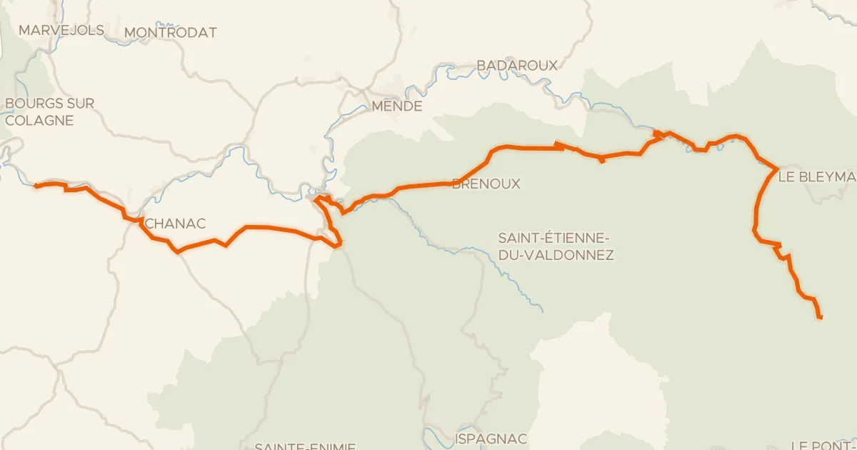
This ride rolls out of Recoules and back again, covering 69.6 km with 1095 m of climbing along the way. You pass the castle at Recoules, then follow the Aveyron river before the Ruisseau de Serre joins the route. Every metre is paved, so the surface stays consistent from start to finish. Climb, roll, and let the rivers guide you home.
Climbs
Climb 1Cat. 4
2.8 km at 4.7% · max 11.1%
Climb 2Hill
1.3 km at 3.2% · max 8.8%
Climb 3Cat. 4
1.7 km at 6.4% · max 25.9%
Climb 4Cat. 4
0.8 km at 10.2% · max 18.4%
Climb 5Hill
1.8 km at 4% · max 9.1%
Climb 6Cat. 3
5.9 km at 3.4% · max 16%
Routes nearby

Road bike99% paved
Rondje Le Château des évêques en Le Tarn
82 km↑ 1,813 m25 km away

Road bike100% paved
Rondje Château de Bertholène en L'Aveyron
94 km↑ 1,282 m30 km away

Road bike100% paved
Rondje Château d'Estaing en Le Lot
77 km↑ 1,403 m33 km away

Gravel35% paved
Rondje Le Rioumau en La Selves
70 km↑ 1,359 m43 km away

Road bike100% paved
Rondje Château de Floyrac en Le Dourdou de Conques
88 km↑ 1,407 m43 km away
Touring87% paved
La Vallée du Lot à vélo
66 km↑ 1,895 m46 km away
Col de Finiels · Col de la Loubière