Back to the librarykm 29–30km 44–45km 50–51
Road bikeMade by RouteCasterRound trip
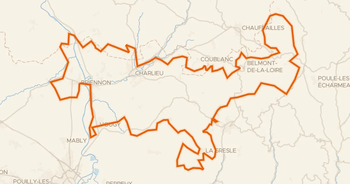
Rondje Château de la Madeleine en La Loire
Distance
72 km
Ascent
612 m
Highest point
466 m
99% paved
Start from your location
Ride there from home: we find the shortest way to the loop and start the loop from there.
The ride
From Pouilly-sous-Charlieu the route rolls out to the Loire, then follows the Teyssonne and the Sornin on its way to the Château de la Madeleine. After the castle the Sornin leads you onward, and the loop brings you back to the start village. Along the way you take in 71.9 km and 612 m of climbing, with the surface almost entirely paved.
Climbs
Climb 1Hill
0.8 km at 4.4% · max 7.7%
Climb 2Hill
1.1 km at 4.1% · max 6.9%
Climb 3Hill
0.5 km at 7.7% · max 11.6%
Routes nearby

Gravel46% paved
Rondje Château Saint-Hugues en La Loire
61 km↑ 855 m8 km away
Gravel51% paved
Le Grand Tour du territoire
180 km↑ 4,355 m10 km away
Col des Écorbans · Col de Aillets

Gravel45% paved
Rondje Château de Vougy en La Loire
61 km↑ 1,057 m11 km away

Gravel27% paved
Rondje Château de Champagny en La Teyssonne
56 km↑ 1,058 m14 km away

Gravel36% paved
Rondje Château de Beaulieu en La Loire
59 km↑ 1,243 m16 km away

Road bike100% paved
Rondje Château des Hormières en Le Renaison
79 km↑ 1,436 m20 km away