Back to the librarykm 0–3km 20–21km 22–23km 29–30km 42–48
GravelMade by RouteCasterRound trip
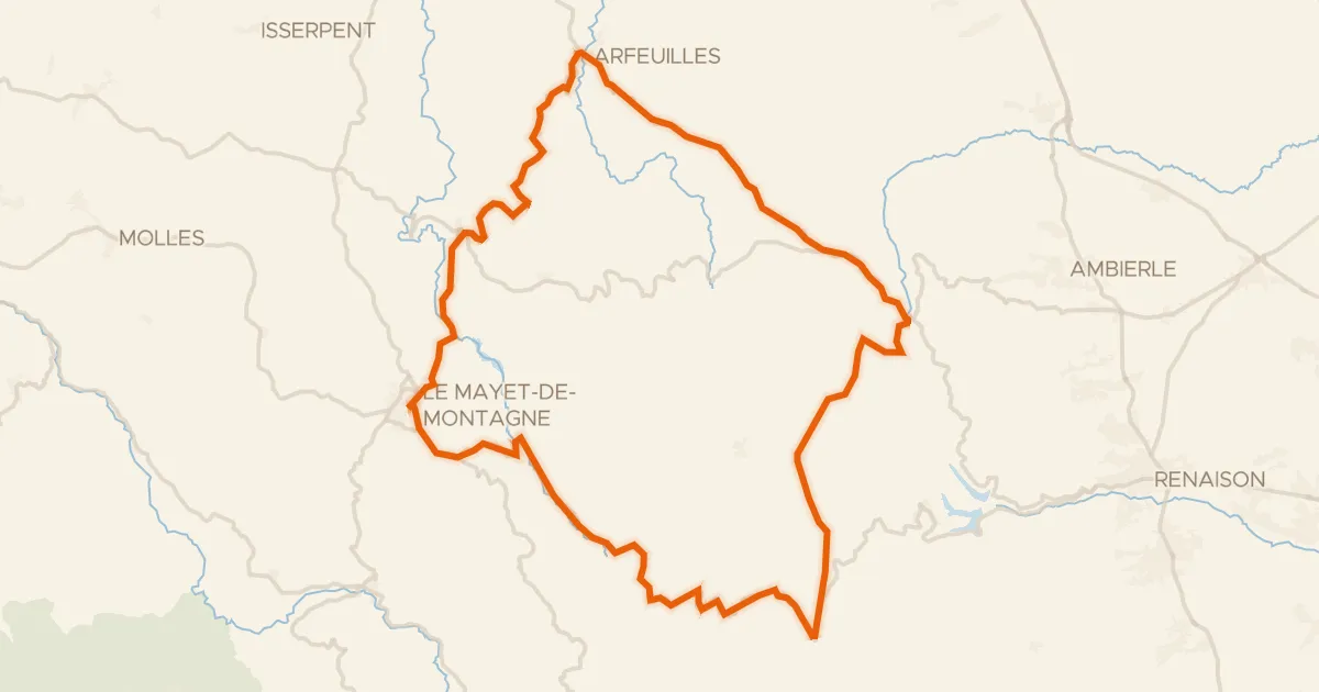
Rondje Château de Champagny en La Teyssonne
Distance
56 km
Ascent
1,058 m
Highest point
760 m
27% paved
Start from your location
Ride there from home: we find the shortest way to the loop and start the loop from there.
The ride
Roll out of Saint-Bonnet-des-Quarts and let the route carry you toward the La Teyssonne river, then on to the Château de Champagny. Of the 56.2 km, most runs unpaved, and the climbing adds up to 1058 m along the way. The castle marks your turning point before the road brings you back to the village where you started.
Climbs
Climb 1Cat. 3
3 km at 5.5% · max 15.5%
Climb 2Hill
1.1 km at 3.1% · max 9.4%
Climb 3Hill
0.7 km at 3.9% · max 6.9%
Climb 4Hill
1.2 km at 3.4% · max 6.4%
Climb 5Cat. 2
6.3 km at 6.7% · max 18.7%
Routes nearby

Road bike100% paved
Rondje Château des Hormières en Le Renaison
79 km↑ 1,436 m6 km away
Road bike100% paved
Au coeur de la Montagne bourbonnaise
62 km↑ 1,185 m9 km away
Col de la Rivière Noire · col de la Croix du Sud

Gravel36% paved
Rondje Château de Beaulieu en La Loire
59 km↑ 1,243 m15 km away

Gravel46% paved
Rondje Château Saint-Hugues en La Loire
61 km↑ 855 m21 km away

Road bike100% paved
Rondje Château de La Palice en La Besbre
79 km↑ 946 m21 km away

Road bike100% paved
Rondje Château de Ferrières en La Credogne
80 km↑ 1,650 m22 km away