Back to the librarykm 0–9km 38–38km 39–45km 47–49km 59–60km 76–79km 79–80km 81–81km 81–82km 83–83km 86–87km 88–95
Road bikeMade by RouteCasterRound trip
Rondje Château d'Ourout en L'Oussouet
Distance
95 km
Ascent
2,775 m
Highest point
2,120 m
100% paved
Start from your location
Ride there from home: we find the shortest way to the loop and start the loop from there.
The ride
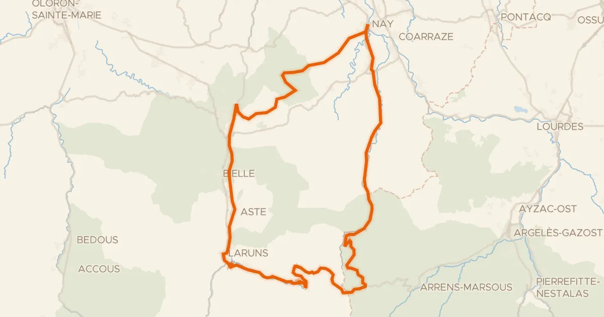
Roll out of Barèges and follow the Le Bastan, then the L'Adour and the L'Oussouet as the road climbs through 2775 m of elevation gain. Past the rivers you skirt the Réserve naturelle du massif du Pibeste-Aoulhet, then roll by the Château d'Ourout. All 95.2 km are paved, and the loop brings you back to Barèges where you started.
Climbs
Col du TourmaletHC
9.1 km at 9.9% · max 57%
Climb 2Hill
0.6 km at 6% · max 12.7%
Col de SaoucèdeCat. 3
5.7 km at 5.1% · max 18.2%
Climb 4Cat. 3
1.8 km at 13.2% · max 27.9%
Climb 5Hill
1.6 km at 3% · max 15.9%
Climb 6Cat. 4
2.8 km at 3.7% · max 21.3%
Climb 7Cat. 4
1.1 km at 7.9% · max 26.6%
Climb 8Hill
0.5 km at 9.9% · max 23.6%
Climb 9Cat. 4
1 km at 12.8% · max 37.8%
Climb 10Hill
0.1 km at 28.5% · max 28.5%
Climb 11Hill
1.1 km at 3.8% · max 10.1%
Climb 12Cat. 2
7.4 km at 7.1% · max 20.3%
Routes nearby

Gravel22% paved
Langs de Gave de Labat de Bun en Le Gave d'Azun
57 km↑ 2,764 m20 km away

Gravel4% paved
Rondje La Neste d'Oô en L'One
69 km↑ 4,278 m37 km away
Road bike100% paved
L'Aubisque, la route du Tour
100 km↑ 2,961 m38 km away
Col du Soulor · Col d'Aubisque

Gravel30% paved
Langs La Neste en Lac de Montréjeau
60 km↑ 1,189 m39 km away

Road bike100% paved
Rondje Château de Pau en Le Gave de Pau
76 km↑ 803 m45 km away

Gravel46% paved
Rondje Château d'Angaïs en L'Ousse
59 km↑ 793 m45 km away