Back to the librarykm 0–9km 14–17km 19–24km 36–41km 41–41km 43–44km 48–49
GravelMade by RouteCasterRound trip
Langs de Gave de Labat de Bun en Le Gave d'Azun
Distance
57 km
Ascent
2,764 m
Highest point
1,671 m
22% paved
Start from your location
Ride there from home: we find the shortest way to the loop and start the loop from there.
The ride
This loop starts and finishes in Pierrefitte-Nestalas, with most of its 57.5 km running unpaved. From the village you follow the Gave de Cauterets river, then the Gave de Labat de Bun, before climbing through the Réserve naturelle du massif du Pibeste-Aoulhet. The route then passes Le Gave d'Azun river on its way back to the start.
Climbs
Climb 1HC
8.7 km at 13.6% · max 45.4%
Col des BordèresCat. 3
2.9 km at 8.3% · max 22.7%
Col de BerbeilletCat. 1
4.7 km at 15.9% · max 37.7%
Climb 4Cat. 3
4.9 km at 5.3% · max 17.4%
Climb 5Hill
0.3 km at 12.2% · max 17.9%
Climb 6Hill
0.9 km at 6.1% · max 19.9%
Climb 7Hill
0.8 km at 5.7% · max 17.9%
Routes nearby

Road bike100% paved
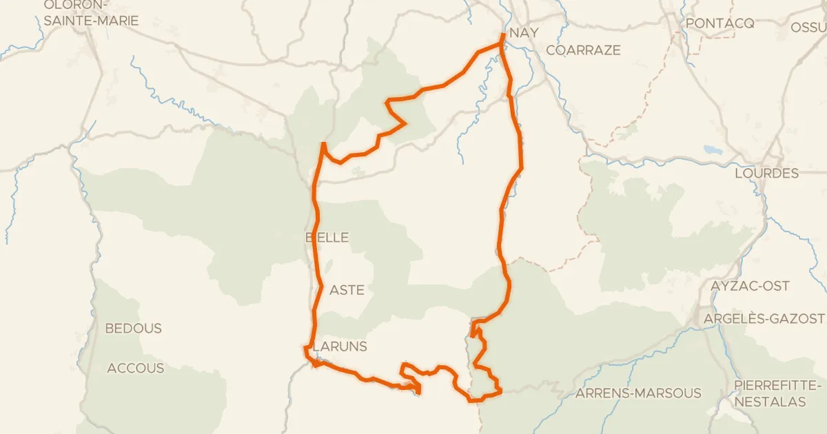
Rondje Château d'Ourout en L'Oussouet
95 km↑ 2,775 m11 km away
Road bike100% paved
L'Aubisque, la route du Tour
100 km↑ 2,961 m24 km away
Col du Soulor · Col d'Aubisque

Road bike100% paved
Rondje Château de Pau en Le Gave de Pau
76 km↑ 803 m33 km away

Gravel46% paved
Rondje Château d'Angaïs en L'Ousse
59 km↑ 793 m34 km away

Gravel64% paved
Langs de Haras National de Gelos en Le Gave de Pau
55 km↑ 711 m40 km away
Road bike100% paved
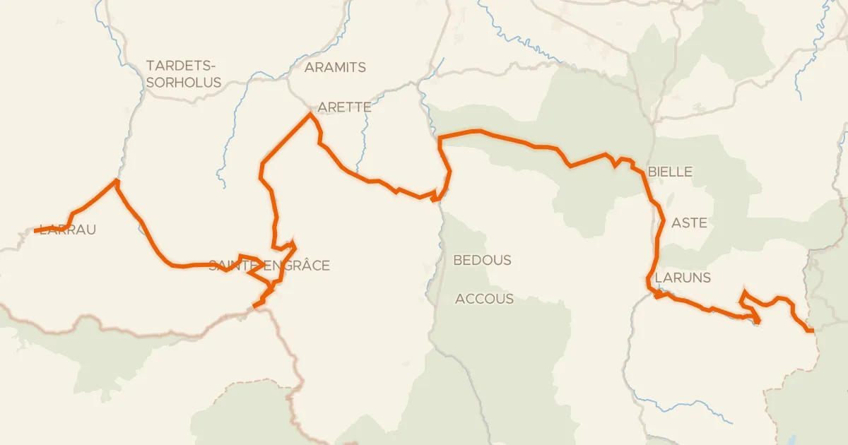
La route des cols des Pyrénées de Larrau à Col d'Aubisque
138 km↑ 5,161 m45 km away
Col de la Pierre Saint-Martin · Pas d'Arlas