Back to the librarykm 0–5km 9–11km 11–14km 21–24
GravelMade by RouteCasterRound trip
Rondje Château d'Angaïs en L'Ousse
Distance
59 km
Ascent
793 m
Highest point
439 m
46% paved
Start from your location
Ride there from home: we find the shortest way to the loop and start the loop from there.
The ride
This 59.1 km loop rolls out of Boeil-Bezing and back again, with 793 m of climbing along the way. You'll ride past the river Le Lagoin, then the Château d'Angaïs, before meeting the Le Gabas and L'Ousse rivers in turn. With 54% unpaved, there's plenty of variety under your wheels as the route unfolds from village to castle to water and home.
Climbs
Climb 1Cat. 3
5 km at 3.6% · max 22.7%
Climb 2Hill
1.6 km at 3.9% · max 14.1%
Climb 3Cat. 4
2.5 km at 5.7% · max 21%
Climb 4Cat. 4
2.7 km at 3.1% · max 15.7%
Routes nearby

Road bike100% paved
Rondje Château de Pau en Le Gave de Pau
76 km↑ 803 m2 km away

Gravel64% paved
Langs de Haras National de Gelos en Le Gave de Pau
55 km↑ 711 m8 km away
Road bike100% paved
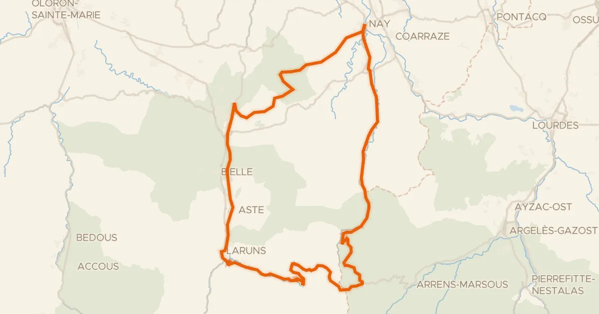
L'Aubisque, la route du Tour
100 km↑ 2,961 m18 km away
Col du Soulor · Col d'Aubisque

Road bike100% paved
Rondje Château de Fanget en Le Lées
80 km↑ 798 m25 km away

Gravel22% paved
Langs de Gave de Labat de Bun en Le Gave d'Azun
57 km↑ 2,764 m28 km away
Road bike100% paved
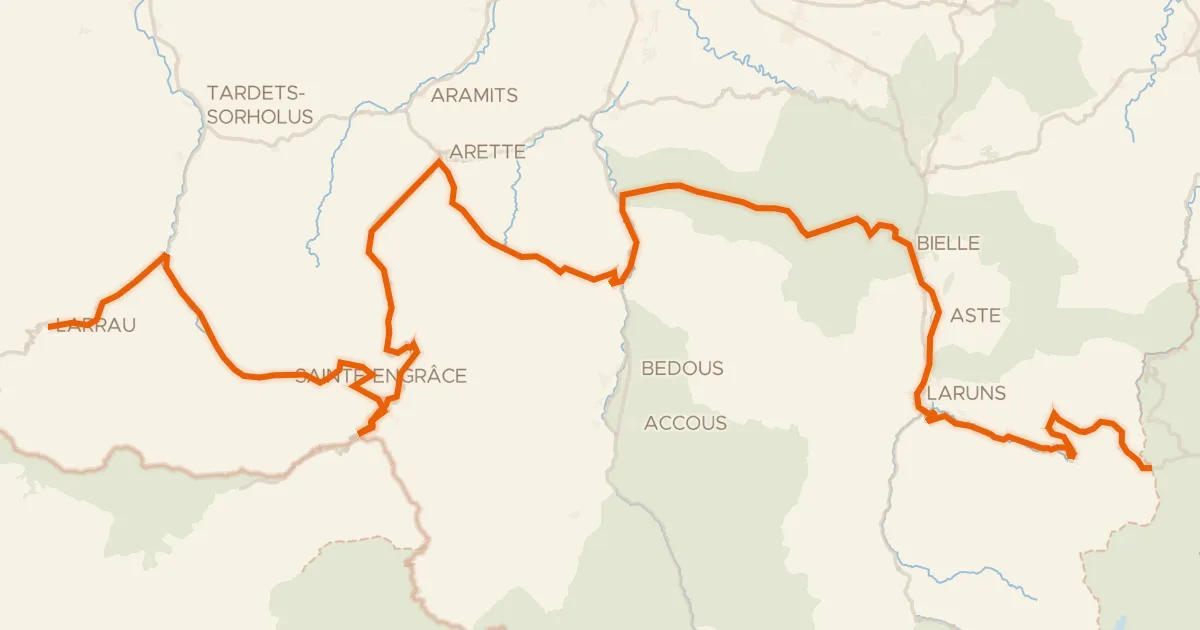
La route des cols des Pyrénées de Larrau à Col d'Aubisque
138 km↑ 5,161 m36 km away
Col de la Pierre Saint-Martin · Pas d'Arlas