Back to the librarykm 17–19km 53–58km 59–61km 63–63km 64–72
Road bikeMade by RouteCasterRound trip
Rondje Château d'Oron en La Veveyse
Distance
75 km
Ascent
1,395 m
Highest point
1,149 m
100% paved
Start from your location
Ride there from home: we find the shortest way to the loop and start the loop from there.
The ride
From Les Paccots, this 74.6 km loop rolls out past the river La Veveyse de Fégire and on to the Baye de Clarens. Two castles follow in quick succession, Château du Châtelard and Château de Sully, before the route meets La Veveyse and La Broye rivers. The ride closes with Château d'Oron and the climb back to Les Paccots, all on paved surface throughout.
Climbs
Climb 1Hill
1.5 km at 5.2% · max 9.7%
Climb 2Cat. 3
4.9 km at 4.7% · max 11.2%
Climb 3Cat. 4
1.8 km at 4.7% · max 10.2%
Climb 4Hill
0.9 km at 3.8% · max 5%
Climb 5Cat. 2
7.9 km at 4.1% · max 23.8%
Routes nearby
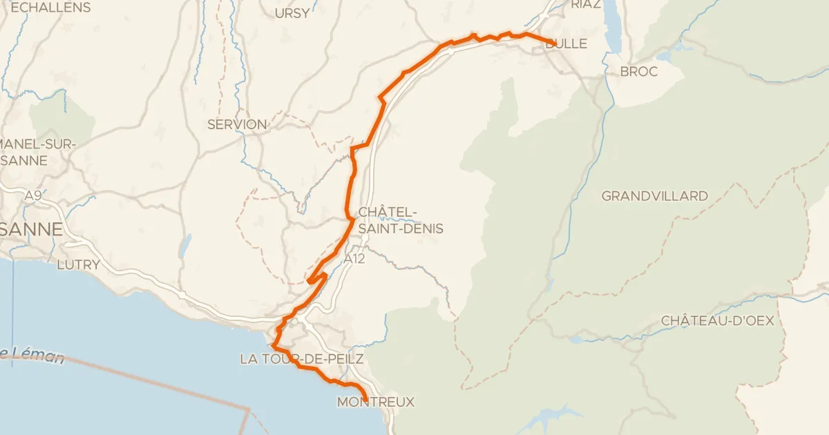
Road bike100% paved
Route des lacs
43 km↑ 782 m1 km away
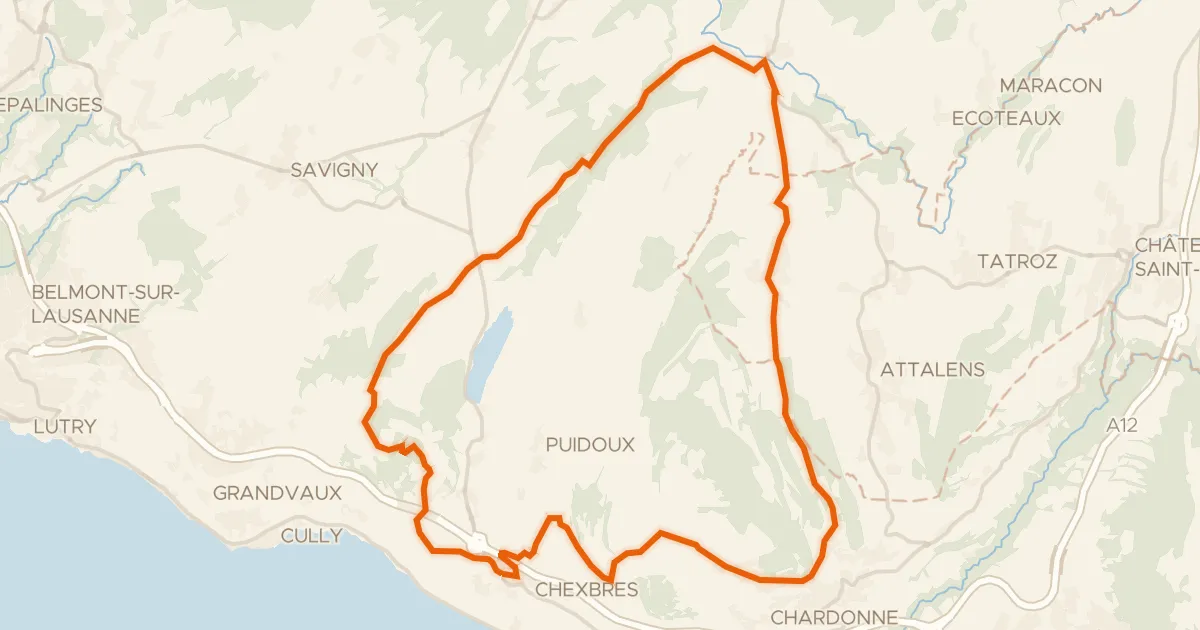
Touring94% paved
Tour du Mont Pélerin
30 km↑ 679 m12 km away
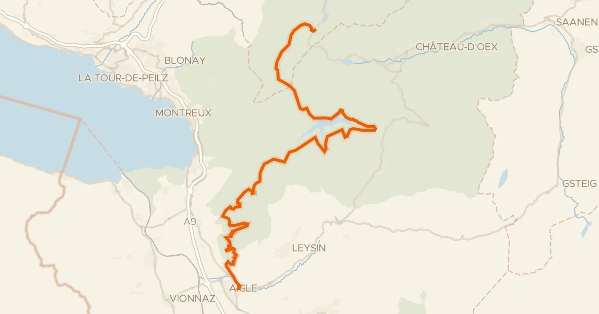
Road bike100% paved
Route panorama alpine
52 km↑ 1,766 m15 km away
Les Agites · Col d'Ayerne
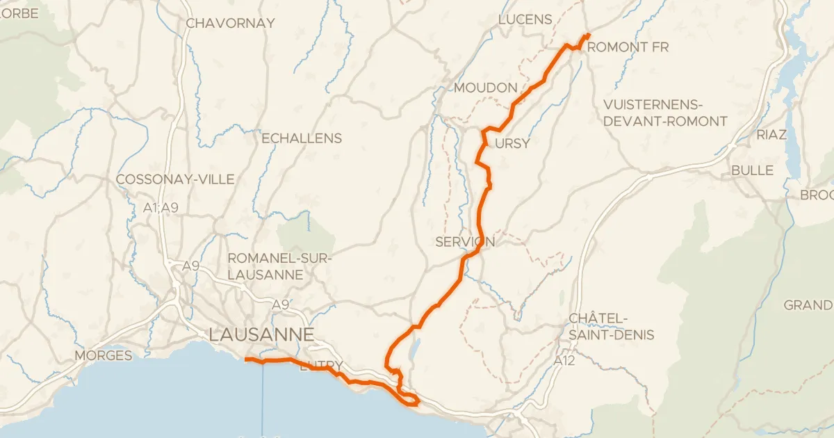
Touring94% paved
Route du Coeur
51 km↑ 1,139 m15 km away

Gravel30% paved
Rondje Château d'En-Bas en Lac de la Gruyère
59 km↑ 2,904 m18 km away

Gravel57% paved
Rondje La Sarine en Lac de la Gruyère
57 km↑ 1,689 m20 km away