Back to the librarykm 15–27km 28–29km 35–79km 81–81km 90–90
Road bikeMade by RouteCasterRound trip
Rondje Castello di Poia en Parco Regionale dell'Adamello
Distance
91 km
Ascent
3,264 m
Highest point
2,622 m
95% paved
Start from your location
Ride there from home: we find the shortest way to the loop and start the loop from there.
The ride
Roll out of Ponte di Legno and the road soon points you through the Parco Regionale dell'Adamello, a nature reserve that sets the tone for the day. Next comes the Castello di Poia, a castle that marks the way before the route follows the Fiume Oglio and later the Adda, both rivers keeping you company on the pedals. With 3264 m of climbing across 91.3 km, it's a day that keeps giving, and the loop brings you back to where you started in Ponte di Legno.
Climbs
Climb 1HC
12 km at 8.4% · max 44.1%
Climb 2Hill
0.4 km at 6.5% · max 9.4%
Passo di GaviaHC
43.3 km at 4.4% · max 41.1%
Climb 4Hill
0.1 km at 30.3% · max 30.3%
Climb 5Hill
0.5 km at 5.5% · max 10.7%
Routes nearby

Gravel16% paved
Rondje Torrente Noce en Torrente Rabbies
54 km↑ 4,274 m28 km away
Touring84% paved
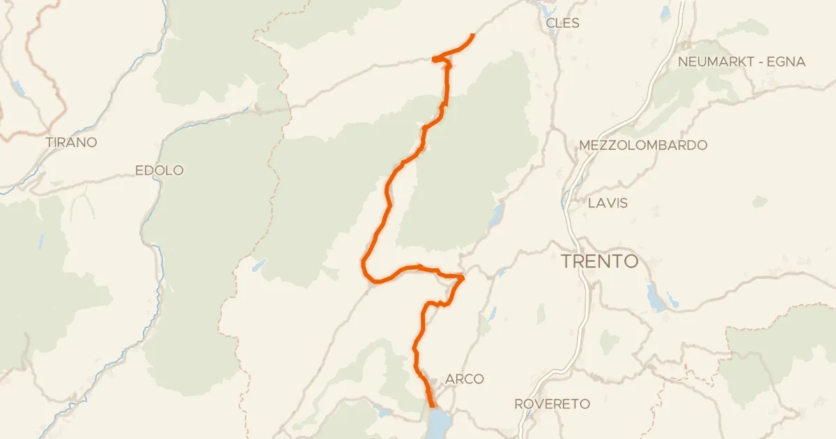
DOGA - Dolomiti Garda - Variante Dolce Vita
108 km↑ 2,489 m28 km away
Passo Del Ballino
Road bike100% paved
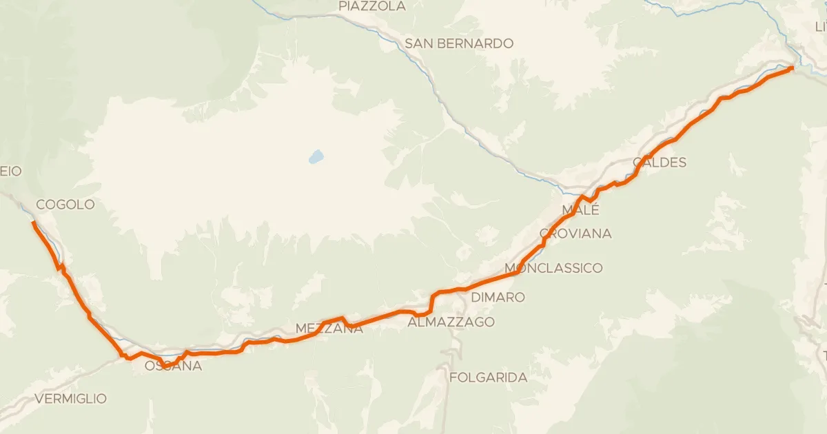
Ciclovia della Val di Sole
34 km↑ 839 m28 km away
Touring86% paved
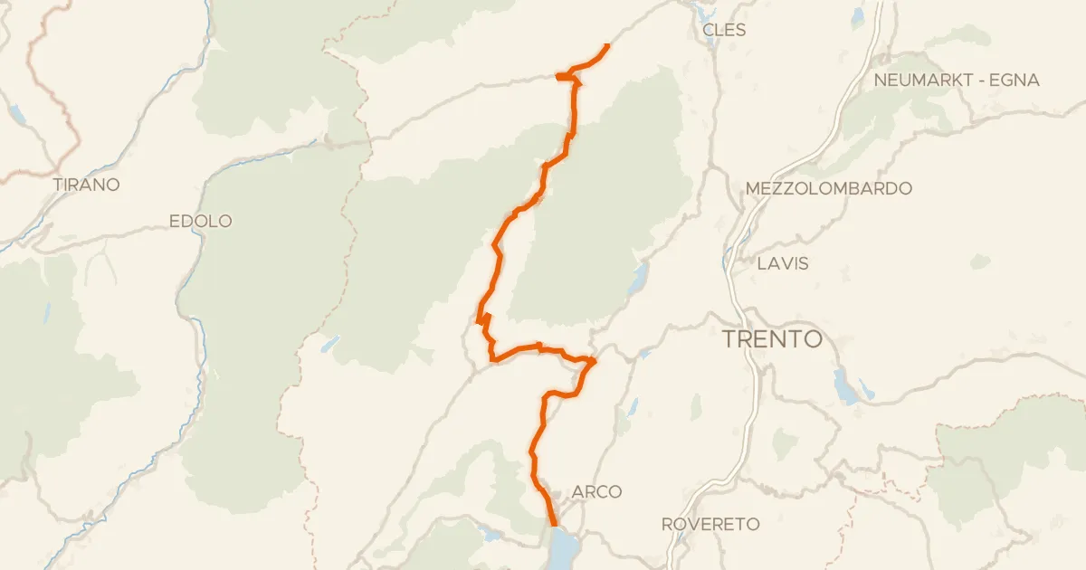
DOGA - Dolomiti Garda - Standard Route
112 km↑ 3,087 m29 km away
Passo Daone · Passo Del Ballino

Gravel8% paved
Rondje Lago di Cancano en Lago di San Giacomo
64 km↑ 2,979 m36 km away
Road bike99% paved
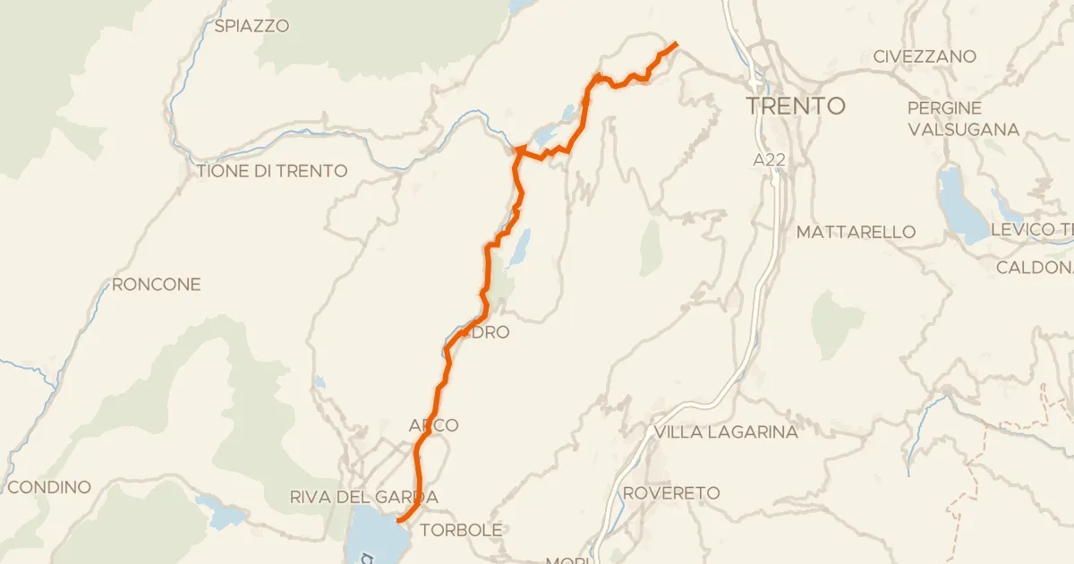
Ciclovia dei laghi
41 km↑ 424 m46 km away