Back to the librarykm 0–1km 2–9km 22–23km 27–27km 29–29km 32–33km 34–35km 35–38km 39–41km 42–46km 52–56km 61–61km 62–63
GravelMade by RouteCasterRound trip
Rondje Lago di Cancano en Lago di San Giacomo
Distance
64 km
Ascent
2,979 m
Highest point
2,643 m
8% paved
Start from your location
Ride there from home: we find the shortest way to the loop and start the loop from there.
The ride
From Sta. Maria Val Müstair you roll out and back on a route of 64.1 km with 2979 m of climbing. First comes the Biosfera Val Müstair nature reserve, then the shore of Lago di San Giacomo, before the road climbs on to Lago di Cancano. From there you follow the Adda river, and the loop brings you home to the village where you started.
Climbs
Climb 1Cat. 4
1.4 km at 10.7% · max 34.8%
Döss RadondCat. 1
7.2 km at 10.6% · max 32.4%
Passo di FraeleHill
1 km at 3.1% · max 5%
Climb 4Hill
0.4 km at 12.4% · max 17.9%
Climb 5Hill
0.3 km at 11.6% · max 19.9%
Climb 6Cat. 4
1.1 km at 14% · max 31.8%
Climb 7Hill
1.1 km at 6.6% · max 15.6%
Climb 8Cat. 2
3.3 km at 19% · max 51.7%
Climb 9Cat. 4
2 km at 6.1% · max 70%
Climb 10Cat. 2
4.1 km at 10.7% · max 38.7%
Climb 11Cat. 2
4 km at 8.5% · max 49.8%
Climb 12Hill
0.1 km at 27.4% · max 27.4%
Climb 13Hill
0.4 km at 6.4% · max 9.5%
Routes nearby
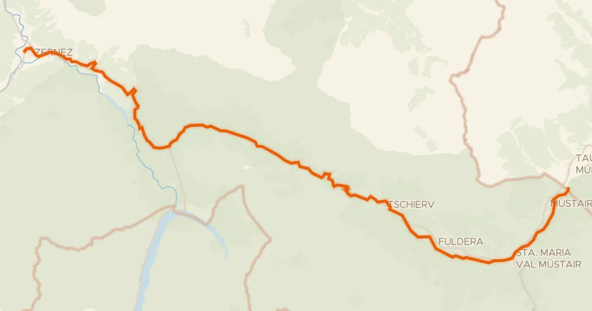
Touring83% paved
Val Müstair
43 km↑ 1,281 m12 km away
Pass dal Fuorn
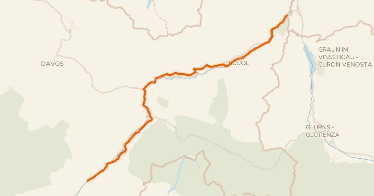
Gravel58% paved
Inn-Radweg
75 km↑ 1,634 m23 km away

Gravel14% paved
Rondje langs de Spöl en de Inn
57 km↑ 2,845 m26 km away
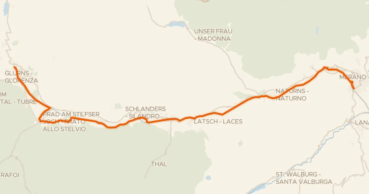
Touring90% paved
Vinschger Radweg - Ciclabile della Val Venosta
61 km↑ 239 m33 km away
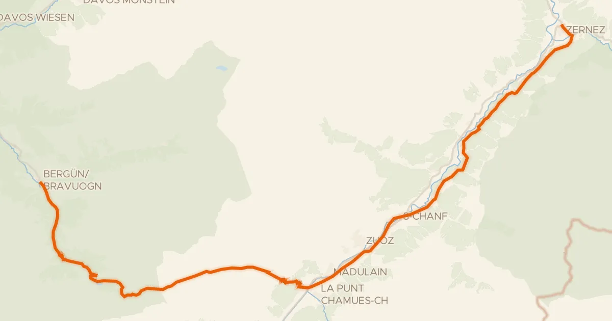
Touring73% paved
Graubünden-Route
45 km↑ 1,488 m38 km away
Albulapass
Road bike100% paved
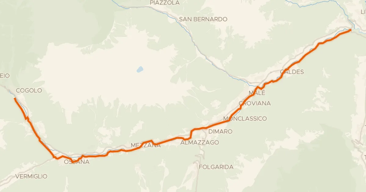
Ciclovia della Val di Sole
34 km↑ 839 m43 km away