Back to the librarykm 0–5km 5–5km 6–6km 8–13km 20–21km 24–26km 29–30km 30–32km 32–36km 36–37km 37–39km 41–42km 42–45km 46–46km 46–49
GravelMade by RouteCasterRound trip
Rondje Torrente Noce en Torrente Rabbies
Distance
54 km
Ascent
4,274 m
Highest point
2,619 m
16% paved
Start from your location
Ride there from home: we find the shortest way to the loop and start the loop from there.
The ride
This ride sets off from San Bernardo and heads out along the Torrente Rabbies, a river that keeps you company on the way. Farther on you cross the Torrente Noce, another river, before the route turns for home. It's 53.7 km in total, with 84% of it unpaved and 4274 m of climbing along the way. Back to San Bernardo it is.
Climbs
Climb 1Cat. 2
4.5 km at 14% · max 56.7%
Climb 2Hill
0.1 km at 31.8% · max 31.8%
Climb 3Hill
0.2 km at 14.3% · max 18.8%
Passo BassettaHC
5.1 km at 20.7% · max 273.1%
Climb 5Cat. 4
1.6 km at 7.2% · max 20%
Climb 6Cat. 3
1.6 km at 16.2% · max 53.5%
Climb 7Hill
0.6 km at 10.2% · max 24.3%
Climb 8Cat. 4
1.2 km at 11.8% · max 26.1%
Climb 9Cat. 2
3.5 km at 9.4% · max 37.8%
Climb 10Hill
0.8 km at 8.1% · max 27.2%
Climb 11Cat. 4
1.9 km at 5.6% · max 28.1%
Climb 12Hill
0.2 km at 12.9% · max 25.4%
Climb 13Cat. 1
2.6 km at 25.7% · max 78.6%
Climb 14Hill
0.6 km at 10.4% · max 18.1%
Climb 15Cat. 1
2.8 km at 25.4% · max 48.7%
Routes nearby
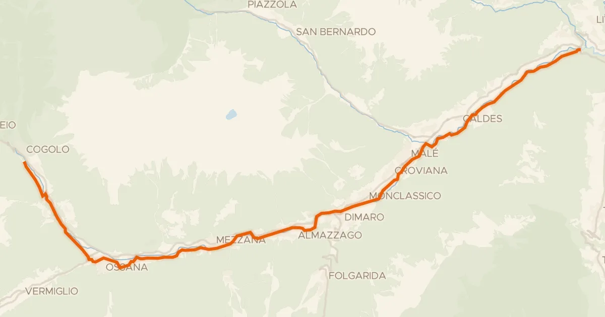
Road bike100% paved
Ciclovia della Val di Sole
34 km↑ 839 m6 km away
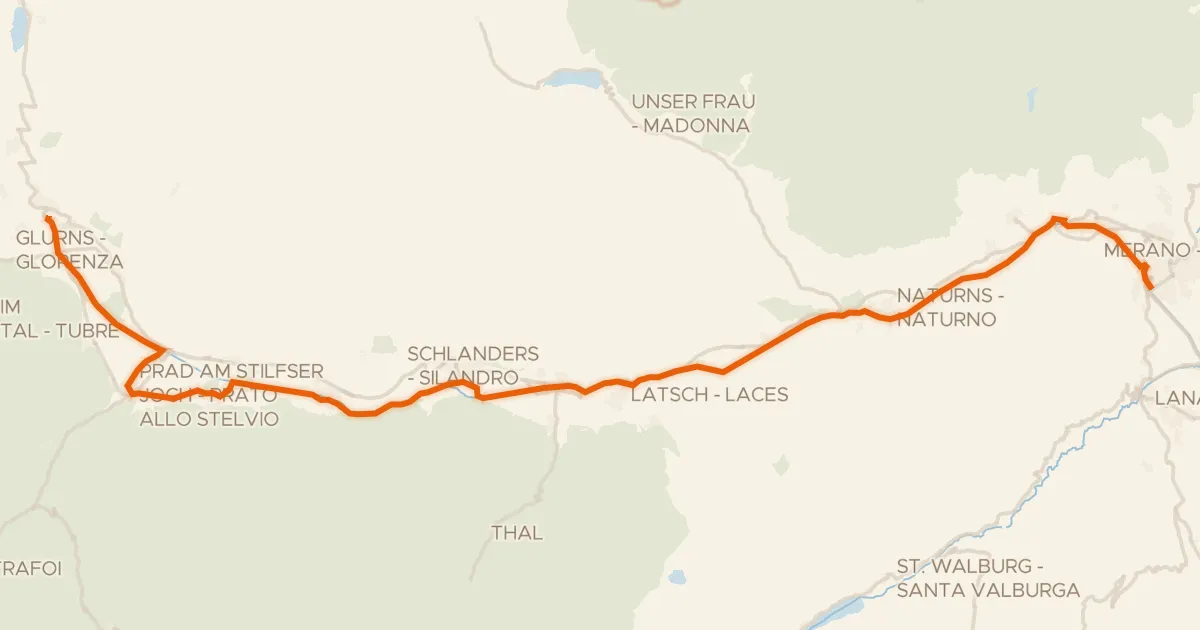
Touring90% paved
Vinschger Radweg - Ciclabile della Val Venosta
61 km↑ 239 m27 km away
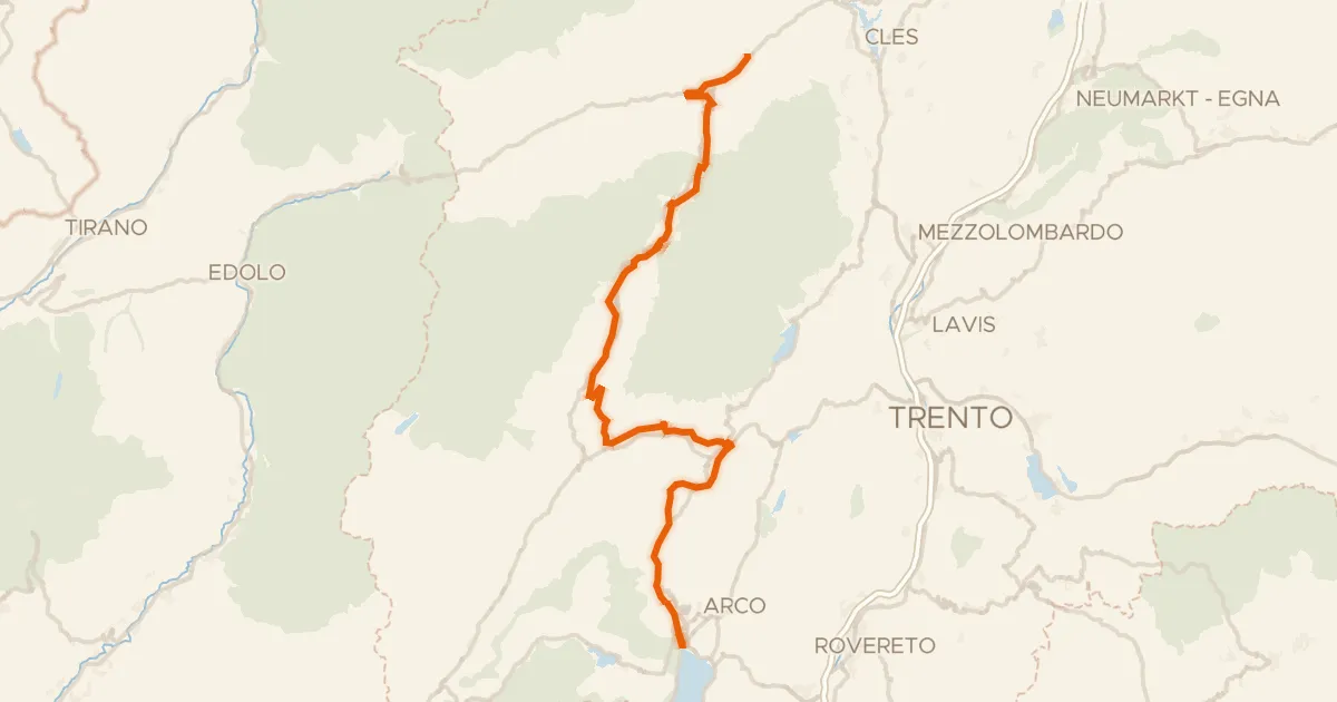
Touring86% paved
DOGA - Dolomiti Garda - Standard Route
112 km↑ 3,087 m31 km away
Passo Daone · Passo Del Ballino
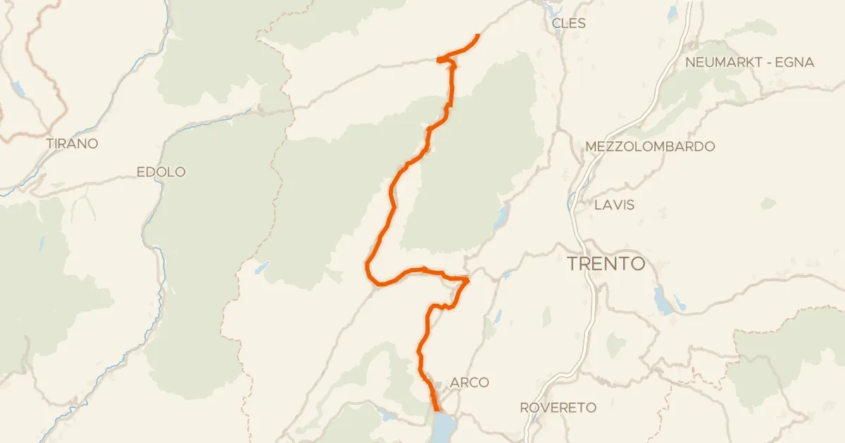
Touring84% paved
DOGA - Dolomiti Garda - Variante Dolce Vita
108 km↑ 2,489 m31 km away
Passo Del Ballino

Road bike95% paved
Rondje Castello di Poia en Parco Regionale dell'Adamello
91 km↑ 3,264 m35 km away

Gravel38% paved
Rondje Lago di Santa Colomba en Castello di Monreale
61 km↑ 2,715 m37 km away