Back to the librarykm 0–1km 1–6km 12–15km 24–25km 26–27km 40–45km 52–55km 55–55km 55–65km 73–74
Road bikeMade by RouteCasterRound trip
Rondje Castello di Berceto en Castello di Ravarano
Distance
75 km
Ascent
2,008 m
Highest point
1,209 m
100% paved
Start from your location
Ride there from home: we find the shortest way to the loop and start the loop from there.
The ride
Roll out of Berceto and the road climbs past the castle before diving into the Parco dei Cento Laghi, a nature reserve where the riding really opens up. The route crosses the Parma river and skirts the Parco Nazionale dell'Appennino Tosco-Emiliano, another nature reserve, before the Castello di Ravarano comes into view. With 2008 m of climbing over 74.9 km, all of it paved, the legs will know they've been out. Back to Berceto to finish where it began.
Climbs
Climb 1Hill
0.5 km at 6.8% · max 18.2%
Passo del Silara di MarraCat. 2
5.2 km at 7.8% · max 28.3%
Climb 3Cat. 4
2.9 km at 3.3% · max 12.9%
Climb 4Hill
0.9 km at 7.3% · max 13.4%
Climb 5Hill
0.4 km at 6.6% · max 12.1%
Valico di FragnoCat. 2
5.3 km at 8.1% · max 22.3%
Climb 7Cat. 4
2.8 km at 4% · max 29.1%
Climb 8Hill
0.7 km at 8.7% · max 19.1%
Sella di CasaselvaticaCat. 3
9.8 km at 3.2% · max 20.9%
Climb 10Hill
1 km at 3.4% · max 15%
Routes nearby
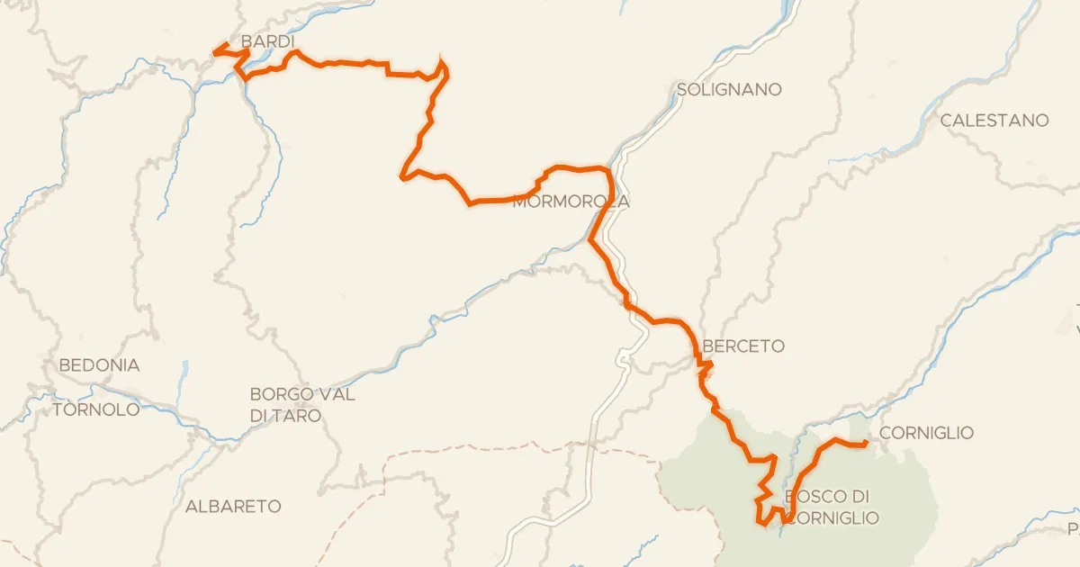
Road bike100% paved
ABT Tappa 5: Bardi - Corniglio
79 km↑ 2,257 m7 km away
Passo del Silara di Marra
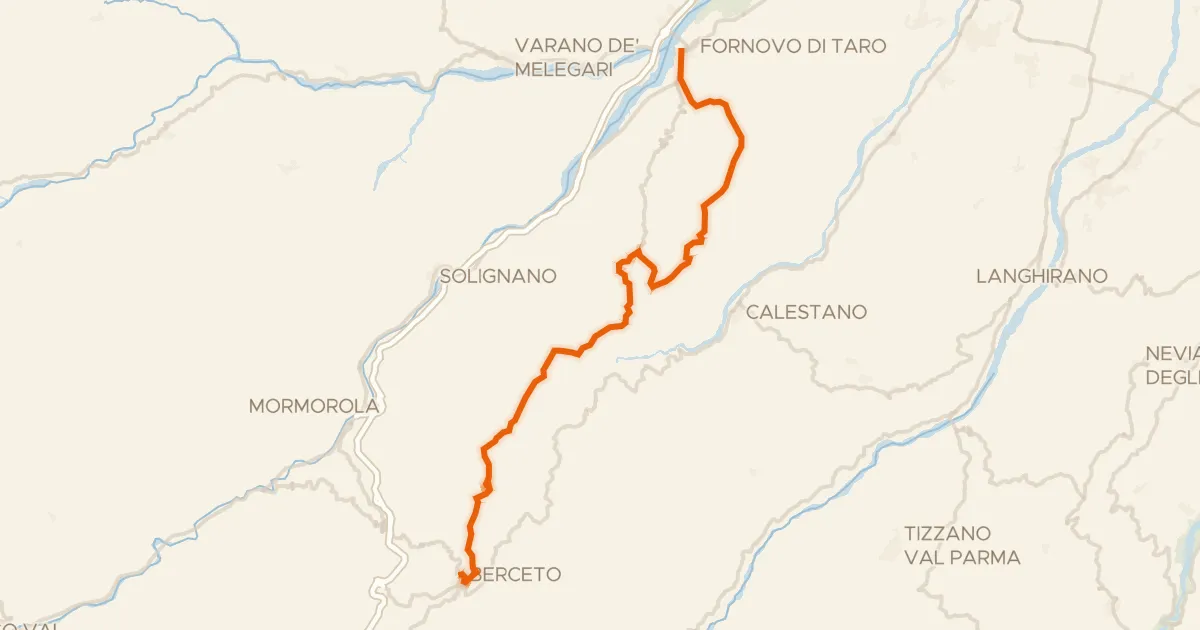
Road bike100% paved
Ciclovia Francigena - VFB10
35 km↑ 1,147 m11 km away
Sella di Monte Marino · Passo di Monte Cassio
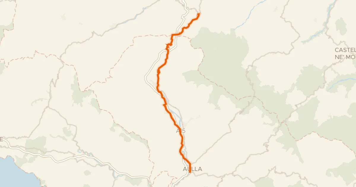
Road bike99% paved
Ciclovia Francigena - VFB11
51 km↑ 755 m17 km away
Passo del Righetto · Passo della Cisa

Gravel28% paved
Rondje Calestano en Castello di San Vitale Baganza
56 km↑ 2,106 m22 km away
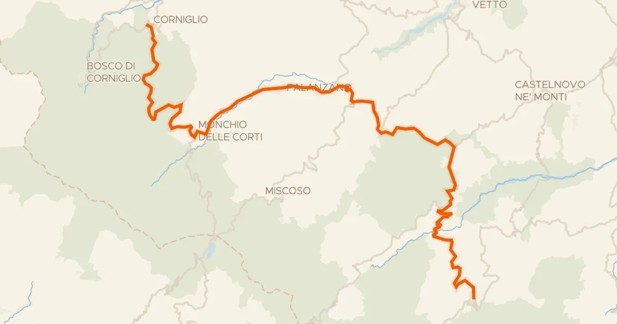
Road bike100% paved
ABT Tappa 6: Corniglio - Ventasso (Ligonchio)
67 km↑ 2,207 m22 km away
Passo Ferrarino · Passo del Ticchiano

Road bike100% paved
Rondje Castello di Bardi en Taro
70 km↑ 1,586 m24 km away