Back to the librarykm 2–3km 4–5km 8–9km 11–12km 13–13km 15–17km 21–21km 25–27km 29–29km 31–35km 36–36km 38–49km 50–51km 54–55
GravelMade by RouteCasterRound trip
Rondje Calestano en Castello di San Vitale Baganza
Distance
56 km
Ascent
2,106 m
Highest point
976 m
28% paved
Start from your location
Ride there from home: we find the shortest way to the loop and start the loop from there.
The ride
Roll out of Calestano and the climbing begins, with 2106 m of elevation gain waiting across 56.4 km. Most of the route runs unpaved, so the surface shifts under your wheels as you go. Partway round you pass the castle of Castello di San Vitale Baganza, then turn for home. Back in Calestano, the legs will know they've been out.
Climbs
Climb 1Cat. 4
1.5 km at 10.5% · max 18%
Climb 2Hill
0.9 km at 5.9% · max 10.8%
Climb 3Cat. 4
0.6 km at 14.1% · max 26.4%
Climb 4Cat. 4
1.4 km at 8.3% · max 23.2%
Climb 5Hill
0.6 km at 6% · max 12%
Climb 6Cat. 3
2.4 km at 7% · max 21.5%
Climb 7Cat. 4
0.8 km at 11.3% · max 18.2%
Climb 8Cat. 3
2 km at 8.6% · max 17.3%
Climb 9Hill
0.8 km at 3.4% · max 7.8%
Climb 10Cat. 3
4 km at 5% · max 11.8%
Climb 11Hill
0.6 km at 10.4% · max 19.4%
Climb 12Cat. 1
11.6 km at 6.3% · max 36.1%
Climb 13Hill
1 km at 4.1% · max 11.6%
Climb 14Hill
0.3 km at 11.6% · max 19.3%
Routes nearby
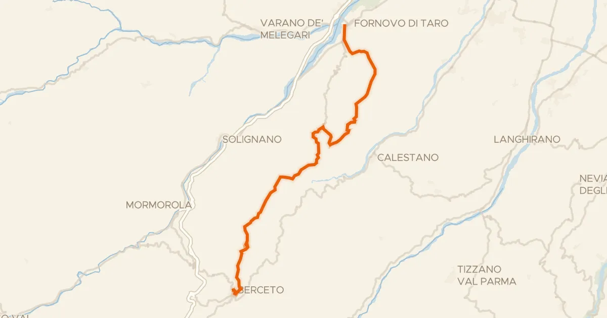
Road bike100% paved
Ciclovia Francigena - VFB10
35 km↑ 1,147 m5 km away
Sella di Monte Marino · Passo di Monte Cassio

Road bike100% paved
Rondje Castello di Berceto en Castello di Ravarano
75 km↑ 2,008 m9 km away
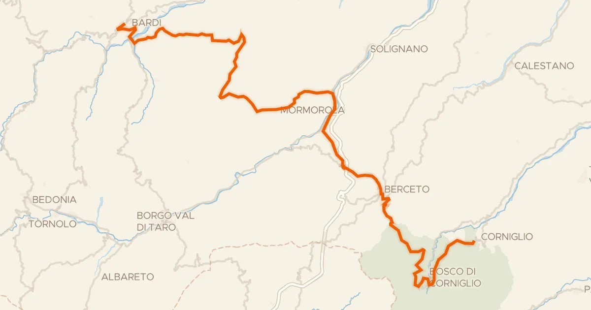
Road bike100% paved
ABT Tappa 5: Bardi - Corniglio
79 km↑ 2,257 m19 km away
Passo del Silara di Marra

Gravel17% paved
Langs Castello di Roccalanzona en Castello di Costamezzana
57 km↑ 1,855 m20 km away
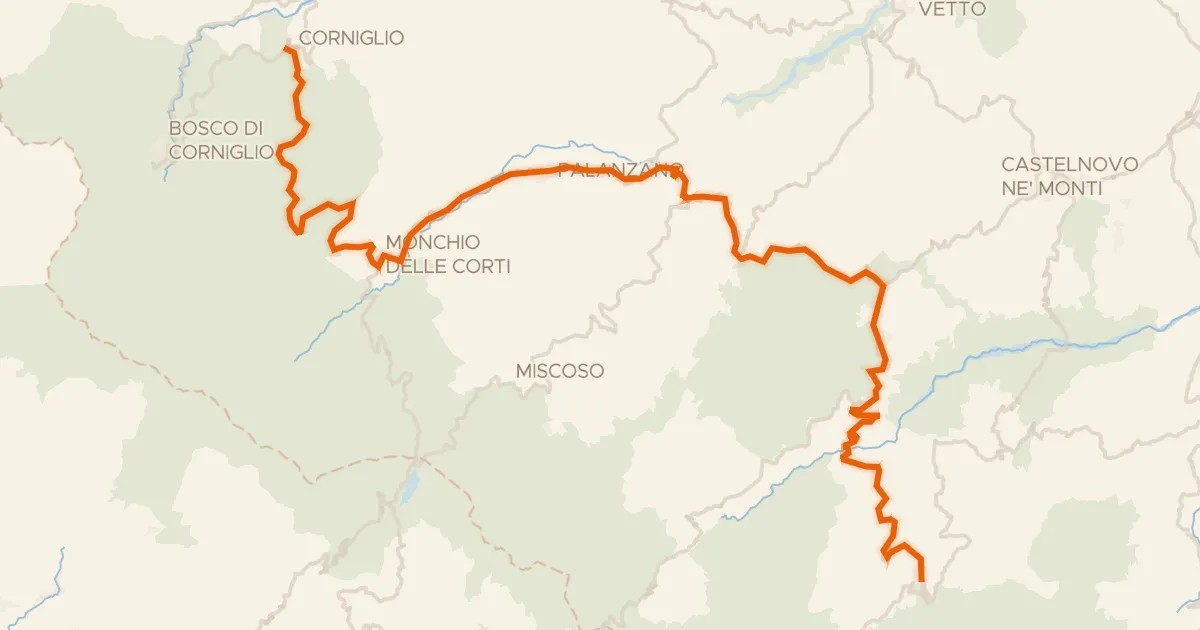
Road bike100% paved
ABT Tappa 6: Corniglio - Ventasso (Ligonchio)
67 km↑ 2,207 m24 km away
Passo Ferrarino · Passo del Ticchiano

Road bike99% paved
Rondje Torrione di Baganzola en Castello di Montechiarugolo
88 km↑ 280 m24 km away