Back to the librarykm 0–3km 5–12km 13–14km 15–16km 19–20km 22–24km 27–28km 31–32km 33–33km 33–36km 37–38km 43–43km 49–55
GravelMade by RouteCasterRound trip
Rondje Castello Colonna en Il Castelluccio
Distance
60 km
Ascent
2,602 m
Highest point
1,127 m
29% paved
Start from your location
Ride there from home: we find the shortest way to the loop and start the loop from there.
The ride
Roll out of Eboli and the road soon turns upward, with most of the 59.7 km running unpaved. You climb into the Monti Picentini nature reserve, then ride past Il Castelluccio castle and on to Castello Colonna castle. With 2602 m of elevation gain, it's a steady day of climbing. The loop brings you back to Eboli where you started.
Climbs
Climb 1Cat. 3
2.6 km at 10.6% · max 21.5%
Climb 2HC
7.4 km at 11.9% · max 35.7%
Climb 3Hill
0.8 km at 3.9% · max 9.8%
Climb 4Hill
0.8 km at 9% · max 20.2%
Climb 5Hill
0.6 km at 8.9% · max 26%
Climb 6Cat. 3
2.3 km at 7.8% · max 40.1%
Climb 7Cat. 4
1.4 km at 9.8% · max 21.5%
Climb 8Hill
0.7 km at 6% · max 11.7%
Climb 9Hill
0.5 km at 7% · max 8.3%
Climb 10Cat. 3
2.3 km at 13.5% · max 32.6%
Climb 11Cat. 3
1.3 km at 14% · max 27%
Climb 12Hill
0.8 km at 9.8% · max 13.2%
Climb 13Cat. 3
5.9 km at 4.4% · max 25.2%
Routes nearby

Road bike96% paved
Langs de Fiume Irno en de Torrente Cavaiola
71 km↑ 2,002 m27 km away
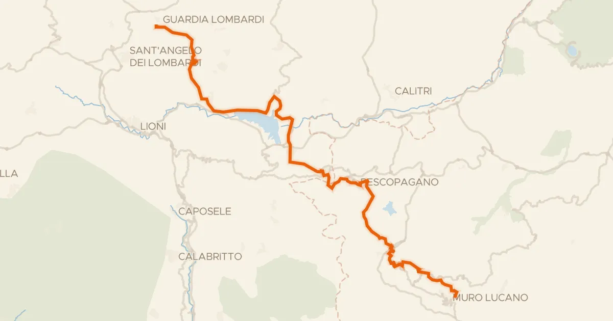
Road bike99% paved
ABT Tappa 23: Guardia Lombardi - Muro Lucano
58 km↑ 1,105 m36 km away
Valico del Monte Carruozzo

Road bike99% paved
Langs Castello di Lettere en Parco Nazionale del Vesuvio
89 km↑ 1,252 m41 km away
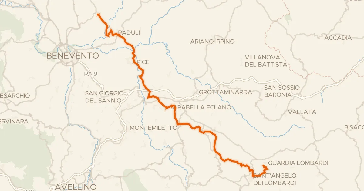
Road bike98% paved
ABT Tappa 22: Pietrelcina - Guardia Lombardi
69 km↑ 1,959 m50 km away
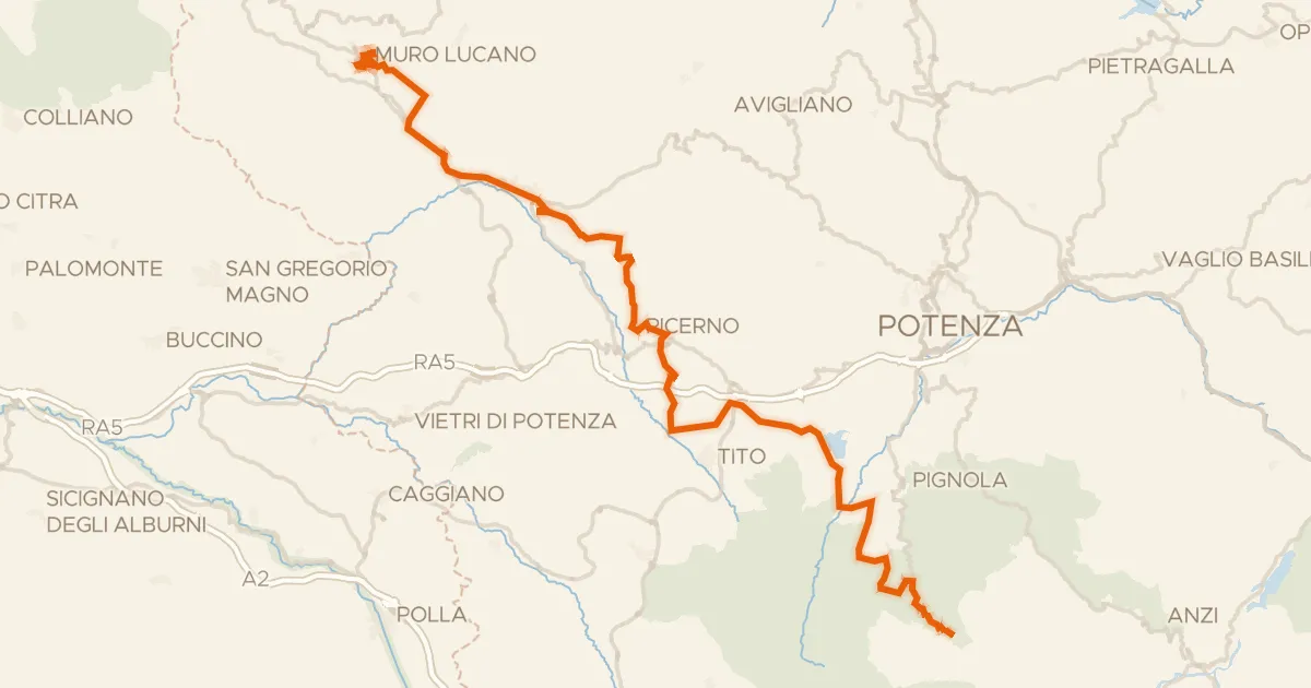
Road bike100% paved
ABT Tappa 24: Muro Lucano - Abriola
67 km↑ 2,019 m50 km away
Valico della Sellata

Gravel64% paved
Langs Parco Nazionale del Vesuvio en Fiume Sarno
53 km↑ 1,496 m55 km away