Back to the librarykm 1–3km 5–7km 28–36km 40–41km 47–48km 50–52km 57–62km 66–66km 66–67
Road bikeMade by RouteCasterRound trip
Langs de Fiume Irno en de Torrente Cavaiola
Distance
71 km
Ascent
2,002 m
Highest point
758 m
96% paved
Start from your location
Ride there from home: we find the shortest way to the loop and start the loop from there.
The ride
Roll out of Vietri sul Mare and follow the Torrente Cavaiola river before the road climbs into the Parco Regionale dei Monti Picentini nature reserve. Over 71.0 km you gather 2002 m of elevation gain, with 96% of the route on paved surface. On the way back you pass Forte La Carnale castle and the Fiume Irno river, then roll into Vietri sul Mare again.
Climbs
Climb 1Cat. 3
2.3 km at 10.9% · max 32.2%
Climb 2Hill
1.2 km at 3.7% · max 10.4%
Climb 3Cat. 2
8.8 km at 5.1% · max 16.8%
Climb 4Hill
0.8 km at 9% · max 26.5%
Climb 5Hill
1.2 km at 4.2% · max 12.1%
Climb 6Cat. 4
1.5 km at 6.6% · max 22.8%
Climb 7Cat. 2
4.9 km at 8.4% · max 35.6%
Climb 8Hill
0.4 km at 6.4% · max 12.2%
Climb 9Hill
0.4 km at 6.8% · max 13.6%
Routes nearby

Road bike99% paved
Langs Castello di Lettere en Parco Nazionale del Vesuvio
89 km↑ 1,252 m14 km away

Gravel29% paved
Rondje Castello Colonna en Il Castelluccio
60 km↑ 2,602 m24 km away

Gravel64% paved
Langs Parco Nazionale del Vesuvio en Fiume Sarno
53 km↑ 1,496 m27 km away

Road bike100% paved
Rondje Castello di Montesarchio en Castello di Tufo
81 km↑ 1,652 m45 km away

Road bike100% paved
Rondje Reggia di Caserta en Castello Ducale
75 km↑ 690 m49 km away
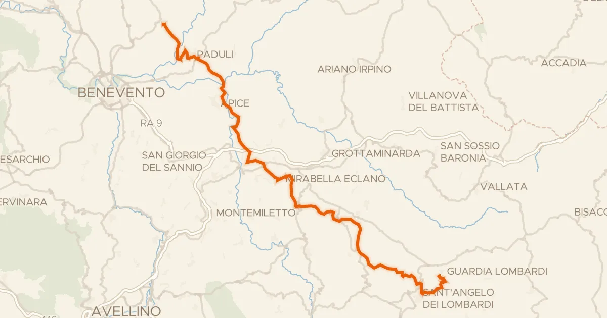
Road bike98% paved
ABT Tappa 22: Pietrelcina - Guardia Lombardi
69 km↑ 1,959 m50 km away