Back to the library
Road bikeRouteCasterRound trip

Rondje Burg Thanstein en Schwarzach

Distance
77 km
Ascent
982 m
Highest point
763 m
100% paved

Start from your location

Ride there from home: we find the shortest way to the loop and start the loop from there.

The ride

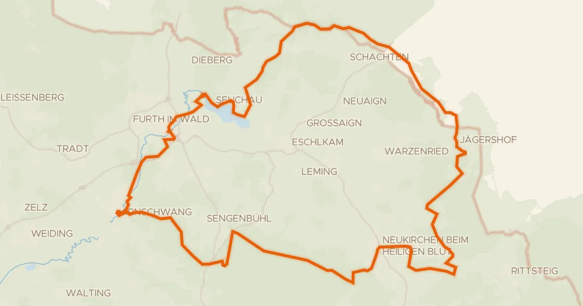
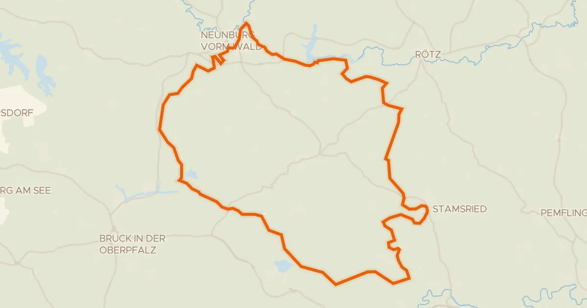
Roll out of Waldmünchen and follow the Schwarzach before the route slips into the Naturpark Oberpfälzer Wald. Onward it climbs into the Naturpark Oberer Bayerischer Wald, then past Burg Thanstein, a castle, and through the Prackendorfer und Kulzer Moos. Burgruine Treffelstein, another castle, comes next, before the road turns you back to Waldmünchen. It's 76.7 km, all paved, with 982 m of climbing.
Along the way

Climbs

Climb 1Hill
1.4 km at 3.6% · max 7.7%
km 27–28
Climb 2Hill
0.8 km at 3.7% · max 6.6%
km 29–30
Climb 3Cat. 4
3.3 km at 3.1% · max 7.2%
km 38–42

Routes nearby

More cycling routes in Germany →