Back to the librarykm 27–30km 31–32km 39–40km 41–42km 43–47km 48–49
GravelRouteCasterRound trip
Rondje Auweiher en Hangenwald
Distance
60 km
Ascent
827 m
Highest point
701 m
35% paved
Start from your location
Ride there from home: we find the shortest way to the loop and start the loop from there.
The ride
Roll out from Parkeerplaats Bohlweiher and straight into the Bohlweiher nature reserve, then on through the Hangenwald forest before the Birkenweiher nature reserve and the Auweiher nature reserve. It's 59.7 km with 827 m of climbing, and most of it runs unpaved. The route loops back to where you started, so the finish is the same car park you left. Quiet miles, steady climbing, and three nature reserves plus a forest along the way.
Climbs
Climb 1Cat. 4
2.8 km at 3% · max 13.7%
Climb 2Hill
1.8 km at 3.1% · max 13.7%
Climb 3Hill
1.2 km at 3.9% · max 13.1%
Climb 4Hill
1.2 km at 4.2% · max 10.4%
Climb 5Cat. 4
3.9 km at 3.2% · max 17.5%
Climb 6Hill
1.8 km at 4.1% · max 14.8%
Routes nearby
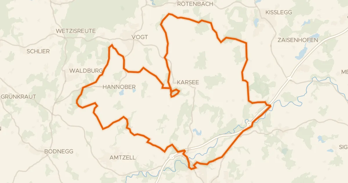
Gravel47% paved
Rondje Blauensee en Scheibensee
57 km↑ 836 m11 km away
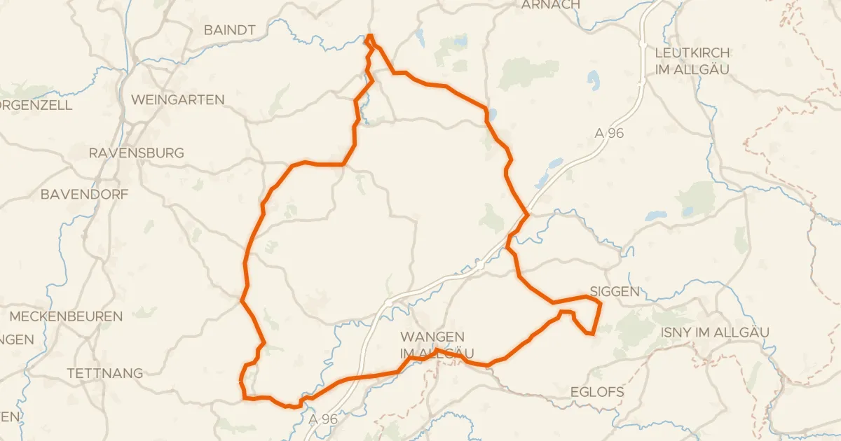
Road bike100% paved
Rondje langs Waldburg en Zeller See
80 km↑ 948 m12 km away
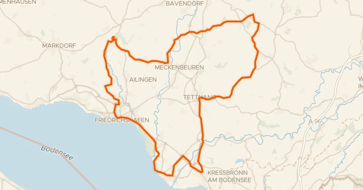
Road bike99% paved
Rondje langs de Argen en het Eriskircher Ried
73 km↑ 726 m12 km away
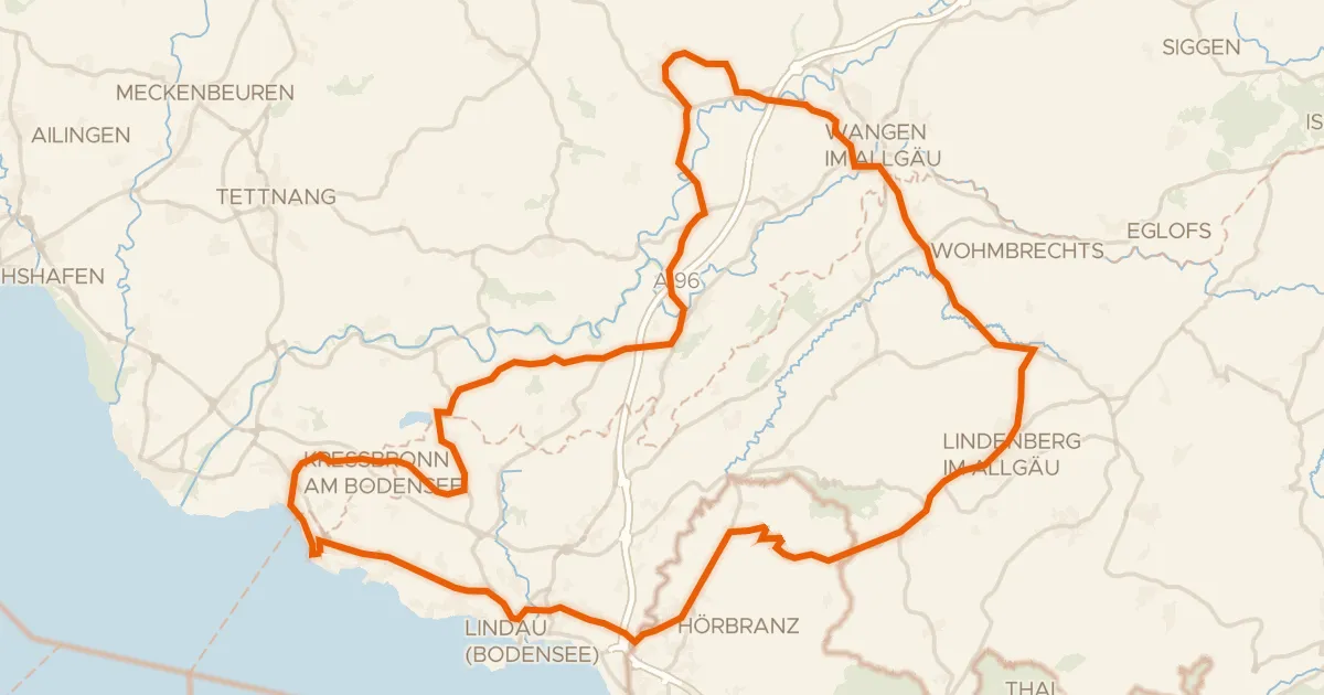
Road bike100% paved
Rondje Schloss Amtzell en Neuravensburger Weiher
81 km↑ 1,079 m16 km away
Road bike99% paved
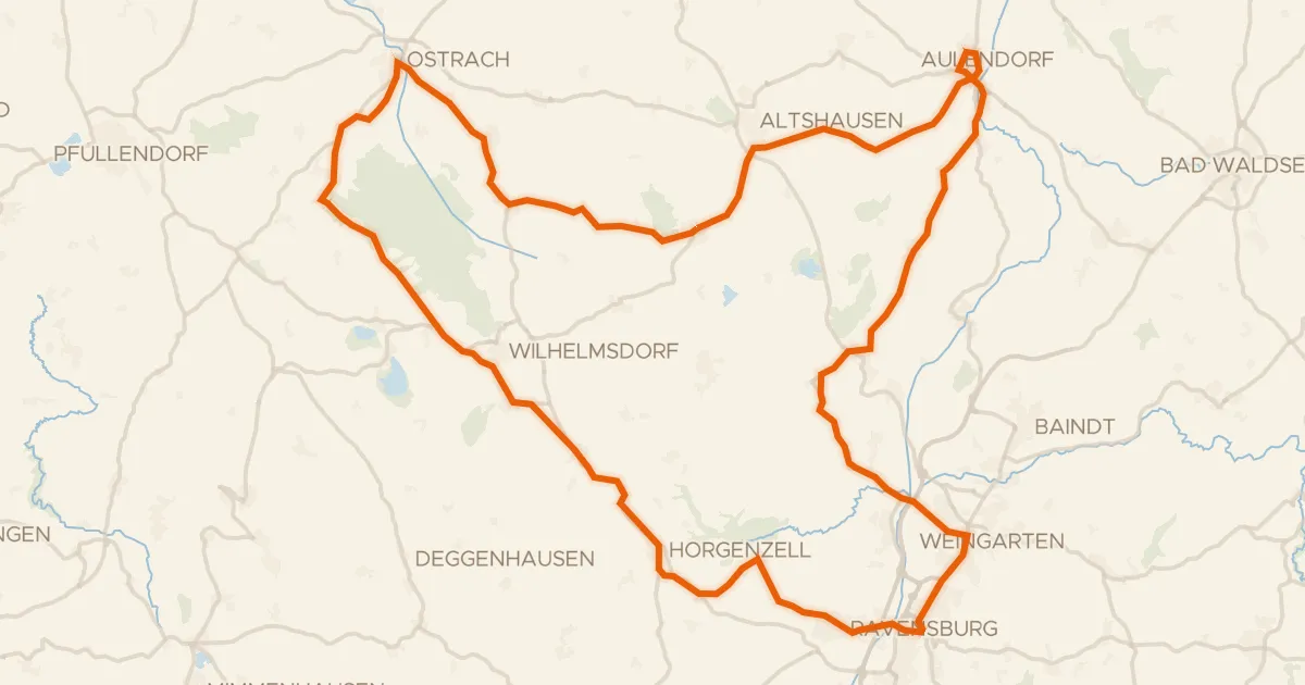
Rondje Schloss Aulendorf en Pfrunger-Burgweiler Ried
93 km↑ 806 m17 km away
Road bike99% paved
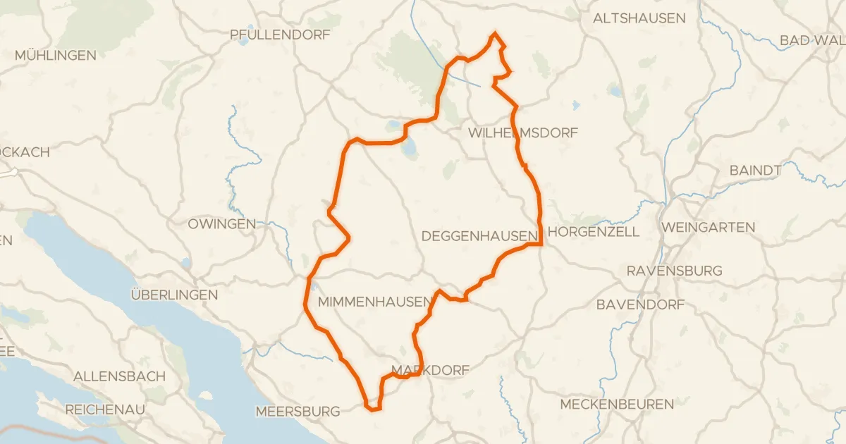
Rondje Schloß Königsegg en Pfrunger-Burgweiler Ried
80 km↑ 995 m21 km away