Back to the librarykm 0–5km 11–12km 14–16km 17–20km 32–33km 33–34km 34–34km 35–36km 37–37km 39–40km 47–48
Road bikeMade by RouteCasterRound trip
Langs Parco Regionale del Monte Cucco en Fiume Chiascio
Distance
73 km
Ascent
1,277 m
Highest point
782 m
100% paved
Start from your location
Ride there from home: we find the shortest way to the loop and start the loop from there.
The ride
Roll out of Osteria del Gatto and the road climbs through the Parco Regionale del Monte Cucco, a nature reserve, before dipping into the Valle dell'Abbadia. Onward past Monte lo Spicchio and its neighbouring valley reserve, then by the castle of Castel d'Alfiolo and along the Fiume Chiascio river. With 72.7 km all on paved surface, the climbing adds up to 1277 m before you roll back to where you started.
Climbs
Valico di FossatoCat. 3
5.4 km at 5.9% · max 20.7%
Climb 2Hill
0.7 km at 4.5% · max 7.6%
Climb 3Cat. 4
2.4 km at 3.7% · max 11.1%
Climb 4Cat. 4
3 km at 5% · max 14.7%
Climb 5Hill
1 km at 4.6% · max 10%
Climb 6Hill
0.9 km at 6.1% · max 15.8%
Climb 7Hill
0.5 km at 5.7% · max 21.2%
Climb 8Hill
1.2 km at 3.9% · max 13.6%
Climb 9Hill
0.9 km at 3.7% · max 17.9%
Climb 10Hill
0.7 km at 3.7% · max 9%
Madonna della CimaHill
1.2 km at 6.6% · max 13.8%
Routes nearby
Road bike100% paved
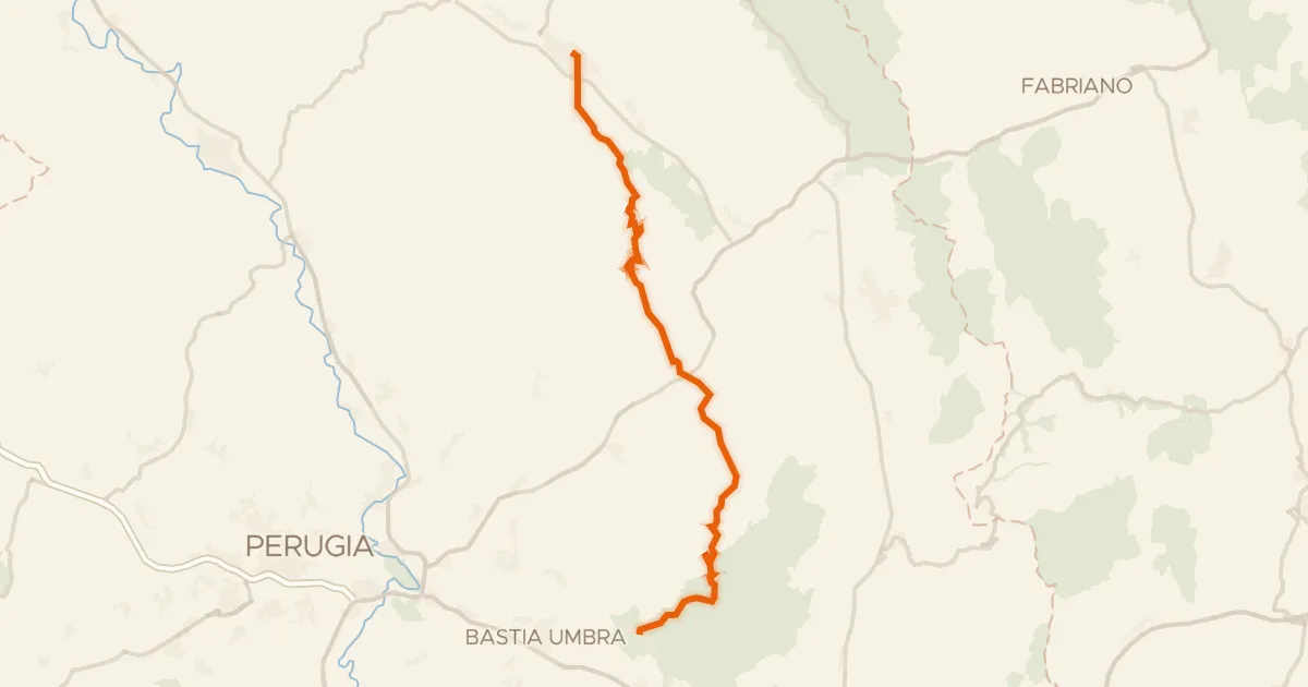
ABT Tappa 13: Gubbio - Assisi
49 km↑ 1,146 m13 km away

Road bike100% paved
Langs de Fiume Esino en de Fiume Giano
75 km↑ 1,795 m21 km away

Road bike100% paved
Langs de Parco Regionale del Monte Cucco en de Fiume Burano
81 km↑ 1,613 m22 km away

Road bike100% paved
Rondje Castello di Civitella Ranieri en Tevere
75 km↑ 1,251 m24 km away

Gravel4% paved
Rondje Piana di Pioraco en Piani di Montelago
56 km↑ 3,065 m24 km away
Touring
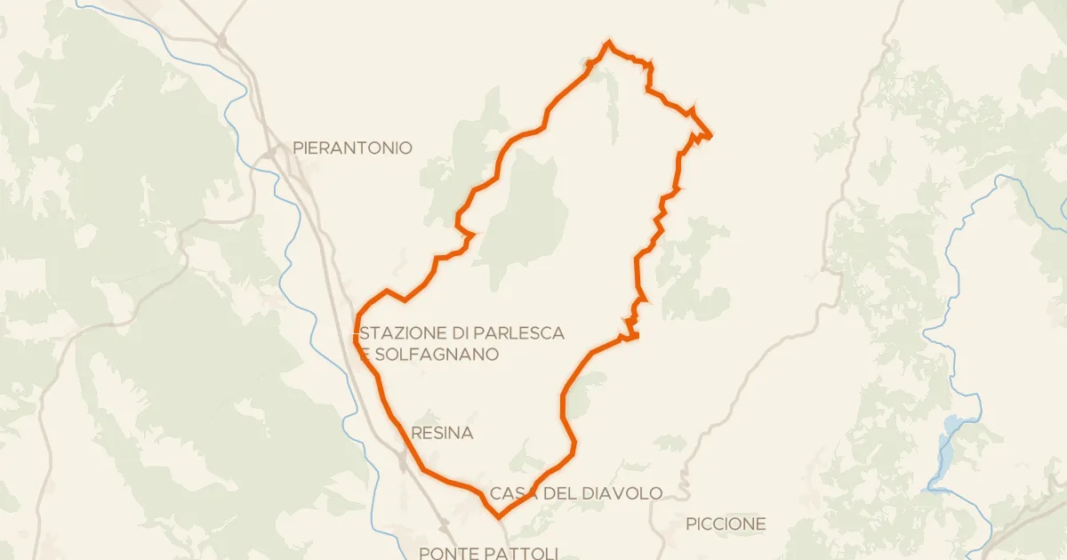
Castiglione Aldobrando
38 km↑ 1,021 m24 km away