Back to the librarykm 11–24km 26–28km 43–47km 48–50km 50–51km 53–53km 59–61km 61–62
Road bikeMade by RouteCasterRound trip
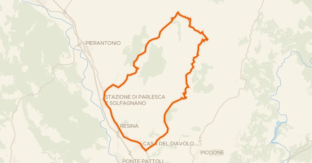
Rondje Castello di Civitella Ranieri en Tevere
Distance
75 km
Ascent
1,251 m
Highest point
709 m
100% paved
Start from your location
Ride there from home: we find the shortest way to the loop and start the loop from there.
The ride
Roll out of Sant'Orfeto-La Cinella and let the road carry you past the castle of Civitella Ranieri before the Tevere river comes into view. With 75.1 km ahead and 1251 m of climbing, the route keeps a steady rhythm from start to finish. Every metre is paved, so the surface stays consistent under your wheels. Then it's back to where you began.
Climbs
Climb 1Cat. 2
13.1 km at 3.4% · max 19.7%
Climb 2Cat. 4
2.1 km at 4.5% · max 8.5%
Climb 3Cat. 3
4.3 km at 5.7% · max 22.7%
Climb 4Hill
1.4 km at 5.1% · max 14.1%
Climb 5Hill
0.6 km at 5.5% · max 10.4%
Climb 6Hill
0.3 km at 12.5% · max 15.1%
Climb 7Hill
1.6 km at 4.4% · max 11.5%
Climb 8Hill
1.3 km at 3.8% · max 20.8%
Routes nearby

Road bike100% paved
Rondje Castello di Polgeto en La Rocca
80 km↑ 1,291 m5 km away
Touring
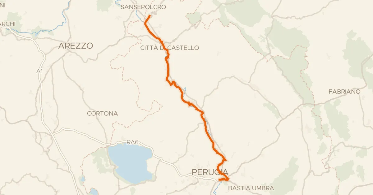
Castiglione Aldobrando
38 km↑ 1,021 m6 km away
Gravel37% paved
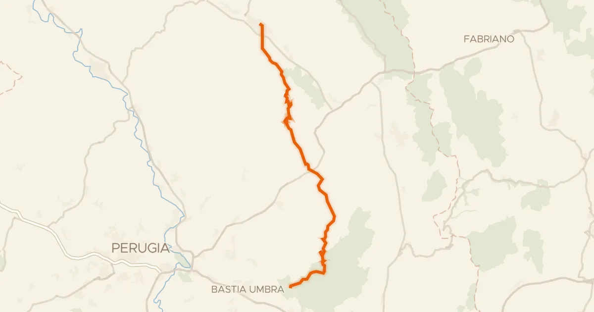
Ciclovia del Tevere
86 km↑ 401 m10 km away

Road bike100% paved
Rondje Palazzo dei Consoli en Tevere
76 km↑ 1,455 m13 km away
Road bike100% paved
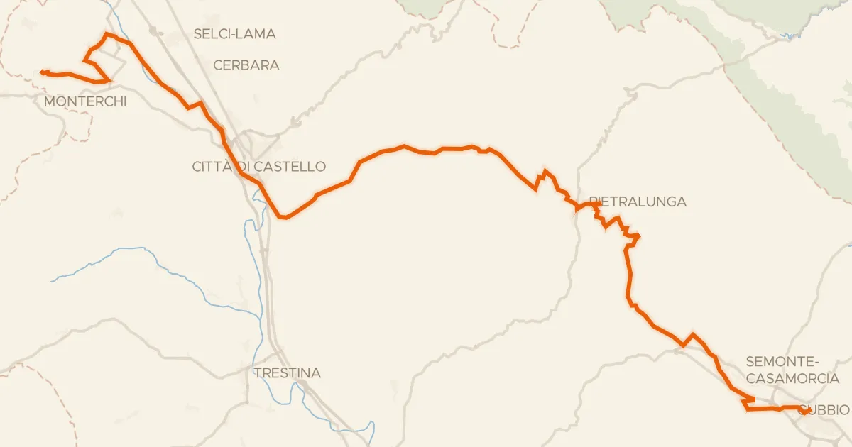
ABT Tappa 13: Gubbio - Assisi
49 km↑ 1,146 m19 km away
Touring82% paved
ABT Tappa 12: Citerna - Gubbio
69 km↑ 1,225 m20 km away