Back to the librarykm 5–6km 8–16km 19–20km 20–21km 23–23km 30–31km 42–53
Road bikeMade by RouteCasterRound trip
Langs de Parco Regionale del Monte Cucco en de Fiume Burano
Distance
81 km
Ascent
1,613 m
Highest point
847 m
100% paved
Start from your location
Ride there from home: we find the shortest way to the loop and start the loop from there.
The ride
From Cagli you roll out and back on a route of 80.9 km with 1613 m of climbing, all of it on paved surface. The road leads past the Fiume Burano river, then on through the Parco Regionale del Monte Cucco nature reserve. The climbing adds up as you go, and the paved kilometres keep turning under your wheels. You finish where you started, back in Cagli.
Climbs
Climb 1Hill
0.7 km at 3.9% · max 11.1%
Passo La CroceCat. 3
8.1 km at 3.8% · max 26.9%
Climb 3Hill
0.5 km at 5.9% · max 9.9%
Climb 4Hill
0.5 km at 5.6% · max 16.1%
Climb 5Hill
0.7 km at 3.7% · max 8.8%
Madonna della CimaHill
1.2 km at 6.7% · max 13.8%
Climb 7Cat. 2
11.7 km at 3.7% · max 23.3%
Routes nearby

Road bike100% paved
Langs Parco Regionale del Monte Cucco en Fiume Chiascio
73 km↑ 1,277 m22 km away

Road bike100% paved
Rondje Palazzo dei Consoli en Tevere
76 km↑ 1,455 m26 km away
Touring82% paved
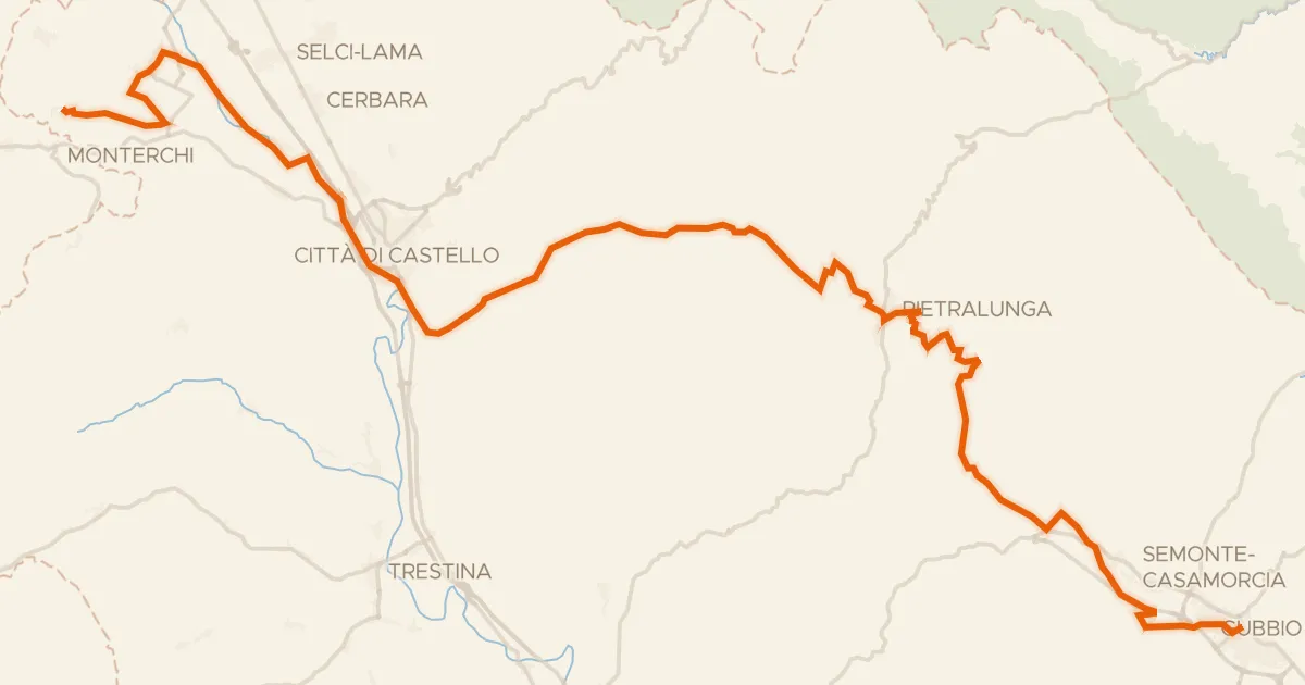
ABT Tappa 12: Citerna - Gubbio
69 km↑ 1,225 m28 km away

Road bike100% paved
Langs de Fiume Esino en de Fiume Giano
75 km↑ 1,795 m28 km away

Gravel47% paved
Rondje Montecalvo in Foglia en de Foglia
62 km↑ 1,678 m31 km away

Road bike100% paved
Rondje Palazzo Della Rovere en Fiume Misa
69 km↑ 953 m34 km away