Back to the librarykm 0–1km 5–9km 10–11km 21–25km 27–29km 30–32km 34–38km 48–49km 60–63
GravelMade by RouteCasterRound trip
Langs L'Allier en La Couze Chambon
Distance
65 km
Ascent
1,353 m
Highest point
752 m
20% paved
Start from your location
Ride there from home: we find the shortest way to the loop and start the loop from there.
The ride
Roll out of Champeix and let the ride unfold along the water. You follow the Couze Chambon river, then the Allier river, then the Couze Pavin river before looping back to the village. With 1353 m of climbing over 65.4 km and most of it unpaved, it's a day that keeps you honest in the saddle. The rivers come in that order, so the route tells its own story from start to finish.
Climbs
Climb 1Hill
1.1 km at 5.9% · max 16.1%
Climb 2Cat. 3
4.1 km at 4.5% · max 22.5%
Climb 3Hill
0.8 km at 6.4% · max 16.3%
Climb 4Cat. 4
3.6 km at 4.2% · max 32.2%
Climb 5Cat. 4
2.5 km at 4.7% · max 23.7%
Climb 6Cat. 4
2.7 km at 5.9% · max 19.9%
Climb 7Cat. 3
3.7 km at 6.2% · max 24%
Climb 8Hill
0.8 km at 5.5% · max 14.2%
Climb 9Cat. 4
3.2 km at 4.6% · max 9.2%
Routes nearby

Road bike99% paved
Rondje Château de Murol en Chaine des Puys
88 km↑ 1,356 m10 km away

Road bike98% paved
Rondje Château de Cotteuges en La Couze Pavin
77 km↑ 1,690 m16 km away
Road bike99% paved
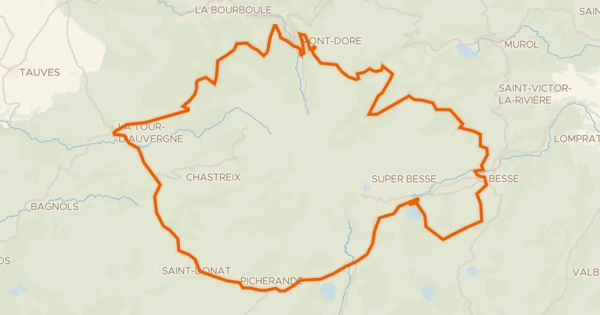
Autour du massif du Sancy - Tour du Sancy
77 km↑ 1,556 m26 km away
Col de la Croix Saint-Robert
Road bike100% paved
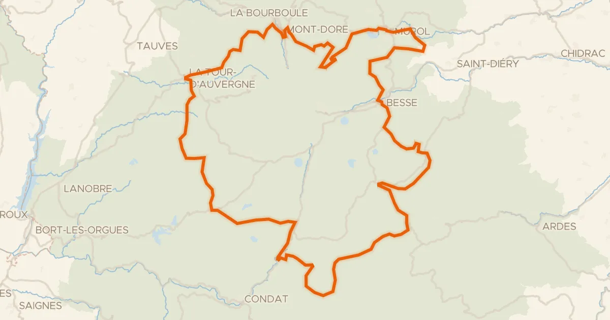
Le 150 km - Cyclo
151 km↑ 3,070 m27 km away
Col de Montgreleix · Col de la Croix Saint-Robert

Road bike96% paved
Rondje La Chaméane en L'Eau Mère
71 km↑ 1,177 m27 km away
Road bike100% paved
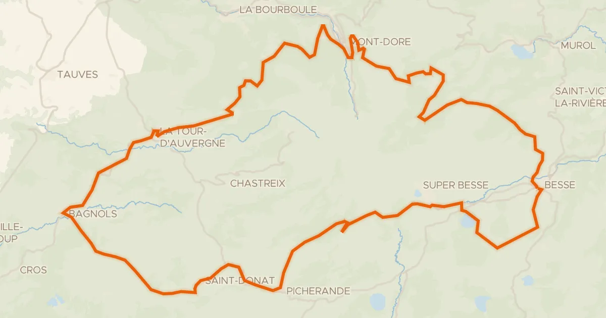
Le tour du Sancy - Cyclo
88 km↑ 1,758 m28 km away
Col de la Geneste · Col de la Croix Saint-Robert