Back to the librarykm 7–8km 13–14km 24–24km 30–36km 38–40km 44–48km 51–54km 60–60
GravelMade by RouteCasterRound trip
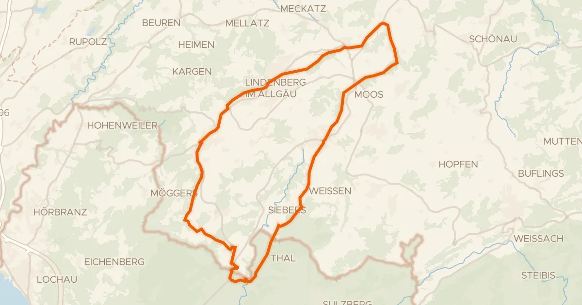
Langs Kanisfluh en Naturpark Nagelfluhkette
Distance
61 km
Ascent
2,214 m
Highest point
1,629 m
45% paved
Start from your location
Ride there from home: we find the shortest way to the loop and start the loop from there.
The ride
From Schnepfau you roll out on a 61.4 km loop that mixes paved and unpaved riding. Along the way you pass the Kanisfluh nature reserve, then the Naturpark Nagelfluhkette nature reserve and the Europaschutzgebiet Unter Stellerhöhe nature reserve. The Waldinsel Burg forest rounds things off before you spin back to Schnepfau.
Climbs
Climb 1Cat. 4
1.1 km at 7.4% · max 60.7%
Climb 2Hill
1 km at 3.1% · max 16.6%
Climb 3Hill
0.6 km at 13.2% · max 28.9%
Climb 4Cat. 2
6.9 km at 5.5% · max 31.4%
Climb 5Cat. 4
1.6 km at 7.5% · max 20.5%
Hinteregger SattelCat. 2
4.2 km at 12.1% · max 45.8%
HirschbergsattelCat. 2
3.7 km at 15.7% · max 53.2%
Climb 8Hill
0.6 km at 7% · max 16.1%
Routes nearby
Touring93% paved
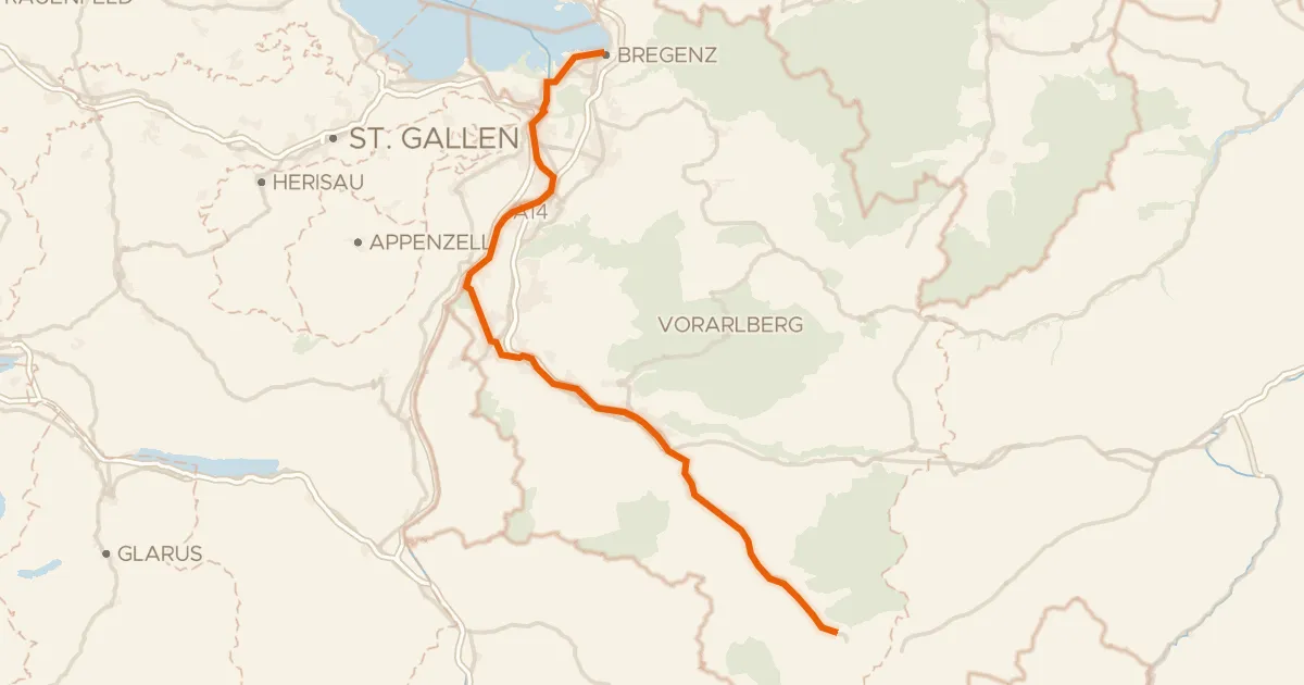
Ill-Rhein Route
97 km↑ 1,059 m16 km away
Gravel39% paved
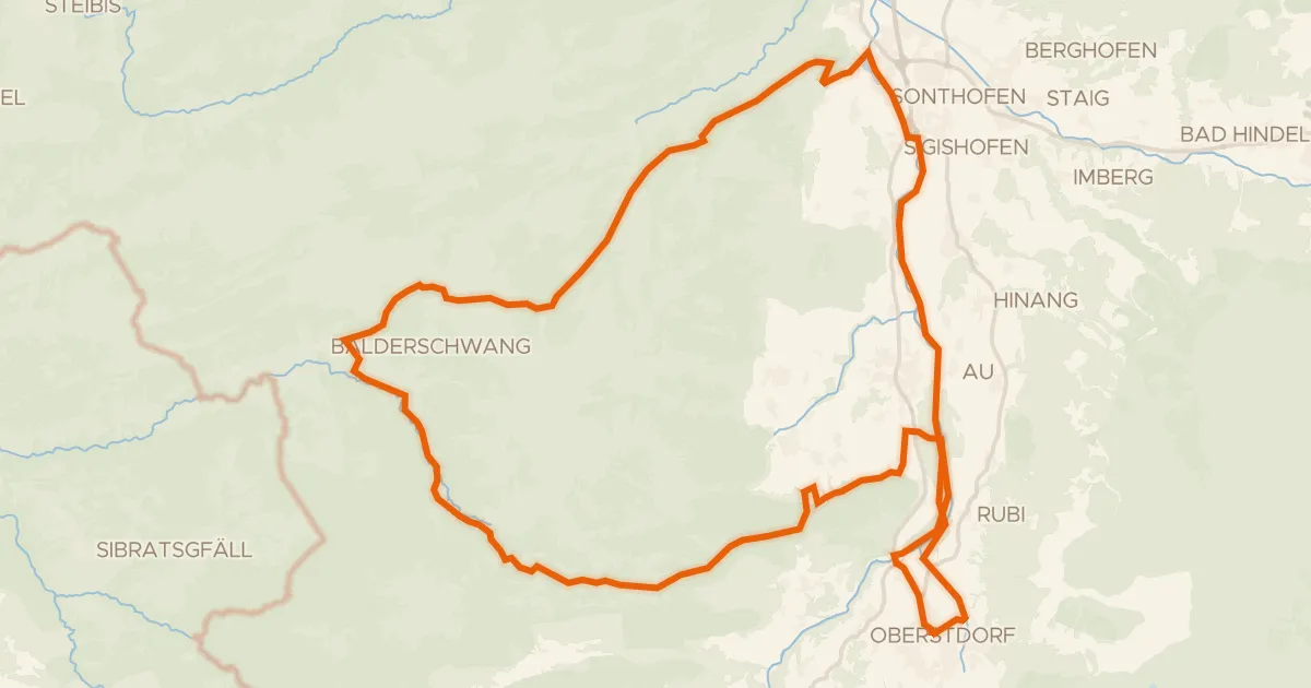
Rondje Breitach en Iller
58 km↑ 1,554 m23 km away
Gravel69% paved
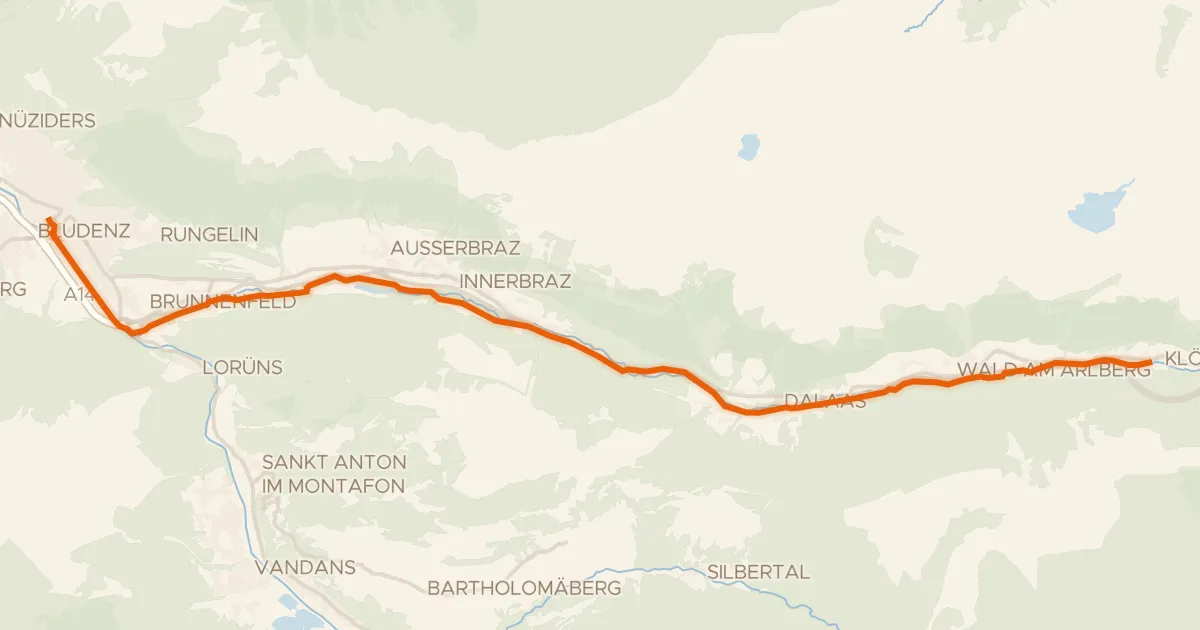
Klostertal Route
24 km↑ 620 m24 km away
Touring84% paved
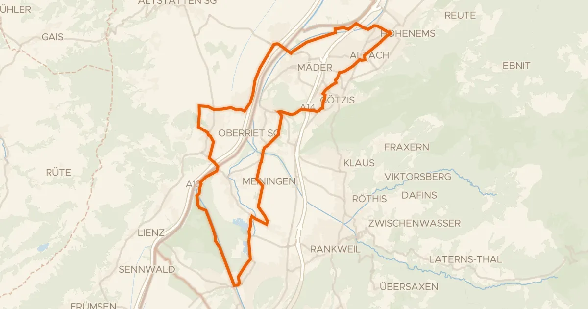
Fünf Seen – Tour
44 km↑ 199 m25 km away

Gravel35% paved
Rondje Villa Raczyński en Leiblach
59 km↑ 1,461 m25 km away
Road bike100% paved
5 - Bähnle-Runde
35 km↑ 555 m25 km away