Back to the librarykm 0–4km 7–11km 14–14km 14–16km 17–18km 22–23km 26–27km 41–42
GravelMade by RouteCasterRound trip
Rondje Villa Raczyński en Leiblach
Distance
59 km
Ascent
1,461 m
Highest point
1,032 m
35% paved
Start from your location
Ride there from home: we find the shortest way to the loop and start the loop from there.
The ride
From Bregenz you roll out toward Villa Raczyński, a castle that sets the tone, before the route turns into the Naturpark Nagelfluhkette and the Rohrachschlucht, both nature reserves. The Leiblach river then guides you along, with the Europaschutzgebiet Leiblach nature reserve close by. Of the 58.9 km, most runs unpaved, and the climbing adds up to 1461 m before you swing back to Bregenz.
Climbs
Climb 1Cat. 2
4.1 km at 11.9% · max 33.8%
Climb 2Cat. 3
4.1 km at 5.8% · max 23.2%
Climb 3Hill
0.3 km at 9% · max 13%
Climb 4Cat. 4
1.4 km at 6.1% · max 17.6%
Climb 5Hill
0.8 km at 5.1% · max 14.9%
Climb 6Cat. 4
1.8 km at 5.7% · max 16.1%
Climb 7Hill
0.4 km at 6.3% · max 12.3%
Climb 8Hill
1.1 km at 4.2% · max 11.3%
Routes nearby
Road bike97% paved
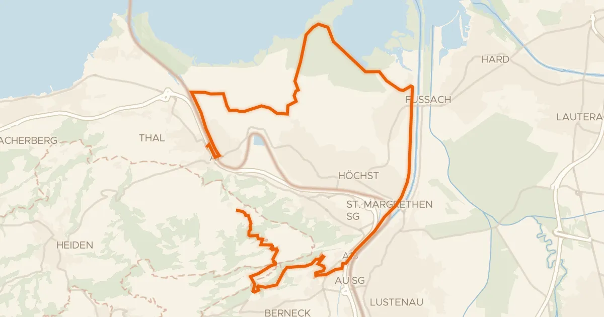
Bergbähnli, Rheindelta – Tour
27 km↑ 215 m10 km away
Road bike100% paved
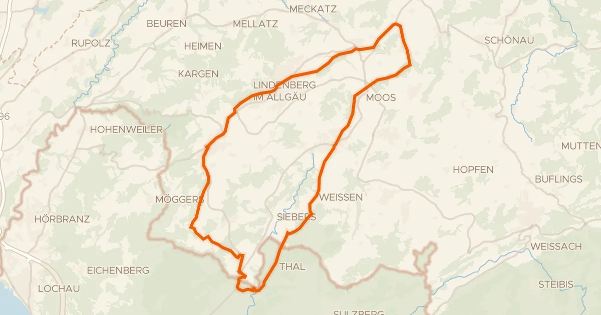
5 - Bähnle-Runde
35 km↑ 555 m14 km away
Road bike100% paved
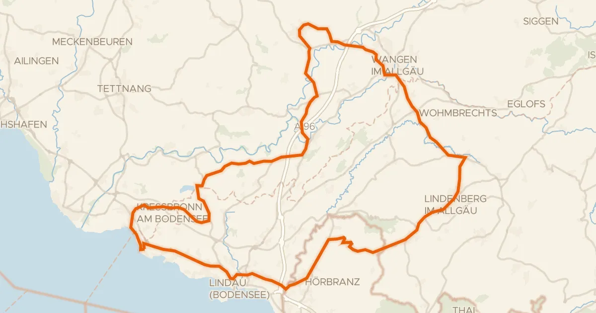
Rondje Schloss Amtzell en Neuravensburger Weiher
81 km↑ 1,079 m14 km away

Gravel45% paved
Langs Kanisfluh en Naturpark Nagelfluhkette
61 km↑ 2,214 m19 km away
Road bike96% paved
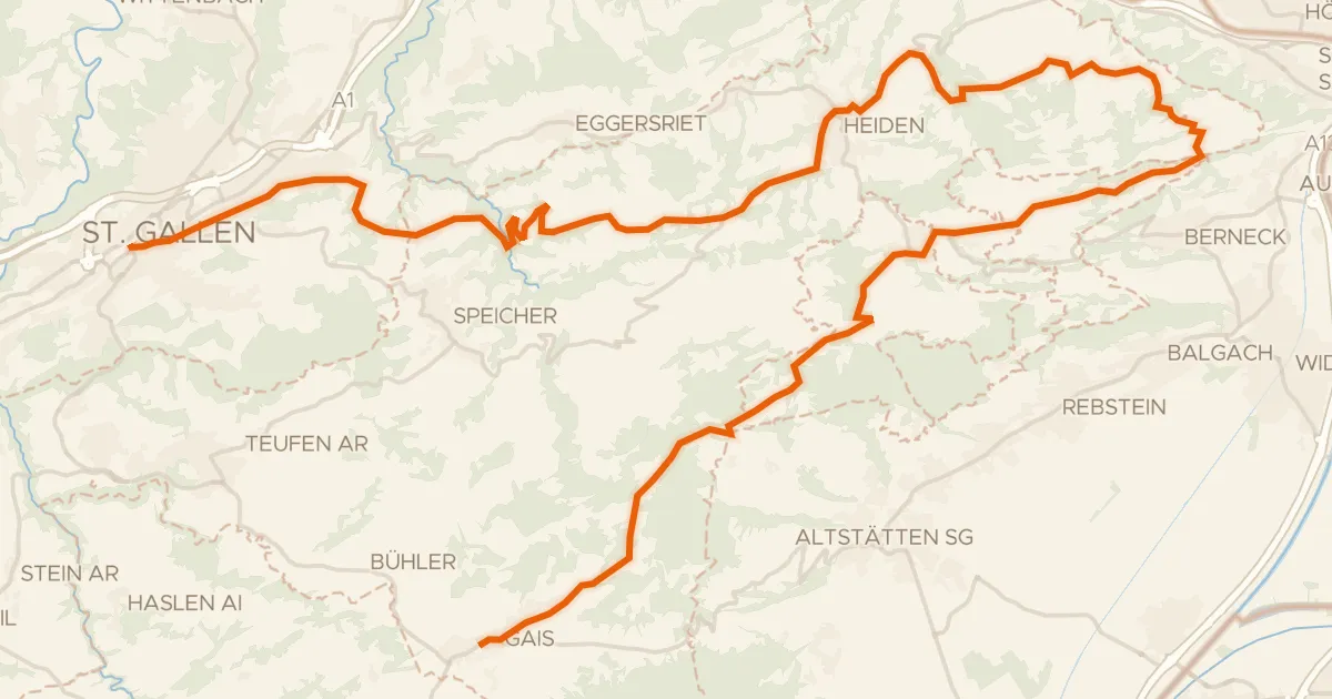
Appenzeller Route
48 km↑ 1,355 m22 km away
St. Anton
Road bike99% paved
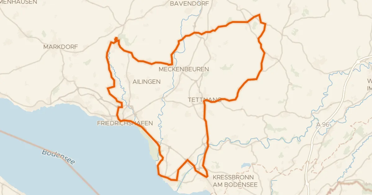
Rondje langs de Argen en het Eriskircher Ried
73 km↑ 726 m23 km away