Back to the librarykm 5–6km 12–26km 29–30km 32–34km 45–48
GravelMade by RouteCasterRound trip
Langs de Mur en de Granitzenbach
Distance
63 km
Ascent
2,154 m
Highest point
1,985 m
39% paved
Start from your location
Ride there from home: we find the shortest way to the loop and start the loop from there.
The ride
Roll out of Weißkirchen in Steiermark and follow the Granitzenbach river before climbing to the ruins of Eppenstein castle. Next comes the Gletschergrundmorene nature reserve at Grünhübel-Matzenbichl, then the Mur river, with Schloss Liechtenstein castle near the end of the loop. The route covers 63.4 km with 2154 m of climbing, mostly on unpaved surface. Back to the start village it goes.
Climbs
Climb 1Hill
0.6 km at 4.3% · max 9%
Climb 2HC
14.2 km at 8.1% · max 42.6%
Climb 3Hill
0.8 km at 5.7% · max 10.9%
Climb 4Cat. 4
1.3 km at 11.4% · max 33.8%
Climb 5Cat. 2
3.1 km at 11.8% · max 38%
Routes nearby
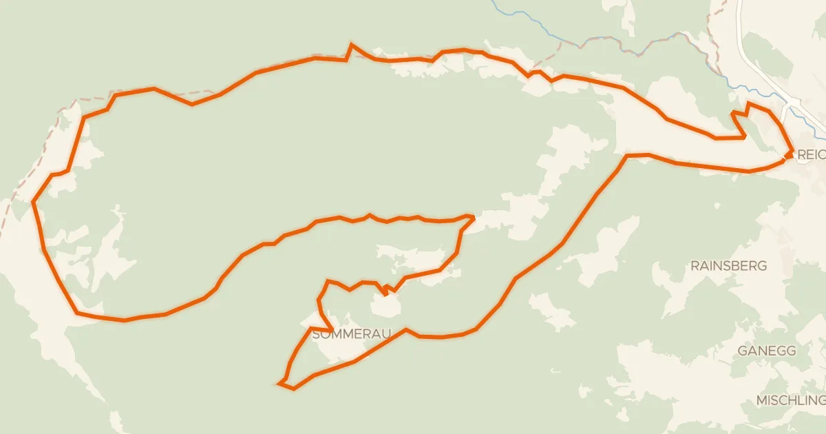
Gravel60% paved
Feldalm - Rundtour
32 km↑ 1,177 m18 km away
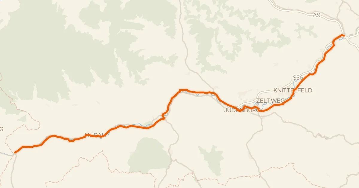
Road bike95% paved
Murradweg Abs. 2 (Predlitz - Sankt Michael in Obersteiermark)
117 km↑ 1,012 m22 km away

Gravel27% paved
Rondje Sankt Michael en Schloss Himmelau
52 km↑ 1,847 m30 km away

Gravel13% paved
Rondje Petersberg-Bühne en Metnitz
62 km↑ 2,711 m34 km away

Road bike100% paved
Rondje Mur en Wölzerbach
79 km↑ 1,166 m36 km away

Gravel27% paved
Rondje Schloß Thalhof en Mur
60 km↑ 2,599 m37 km away