Back to the librarykm 0–15km 17–18km 23–24km 33–36km 38–39
GravelMade by RouteCasterRound trip
Rondje Sankt Michael en Schloss Himmelau
Distance
52 km
Ascent
1,847 m
Highest point
1,688 m
27% paved
Start from your location
Ride there from home: we find the shortest way to the loop and start the loop from there.
The ride
This ride rolls out of Sankt Michael and back again over 52.1 km, with most of it unpaved. Along the way you pass Schloss Himmelau, a castle that breaks up the climbing. With 1847 m of elevation gain, the route keeps asking for another gear. Head out, take in the castle, and bring it home to Sankt Michael.
Climbs
Climb 1HC
15.4 km at 7.6% · max 44.6%
Climb 2Hill
0.8 km at 4.4% · max 10.6%
Climb 3Hill
0.5 km at 10.1% · max 21.7%
Climb 4Cat. 2
2.9 km at 13.4% · max 37.2%
Climb 5Hill
0.5 km at 10% · max 18.6%
Routes nearby
Touring87% paved
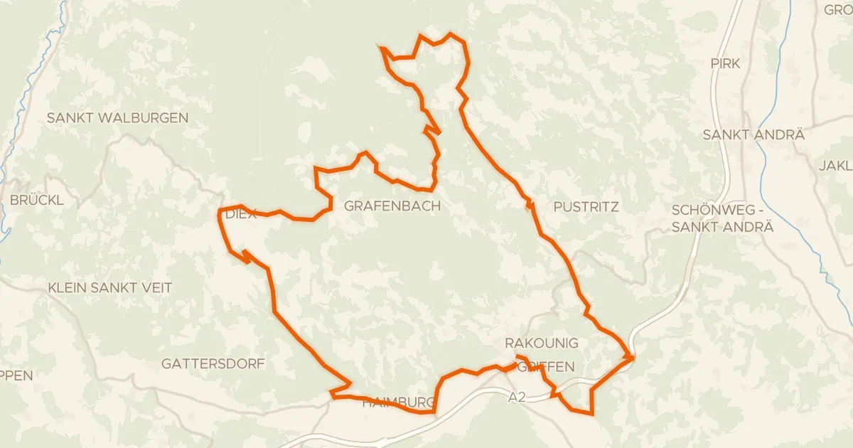
Wehrkirchentour
59 km↑ 1,607 m13 km away
Griffner Berg
Gravel60% paved
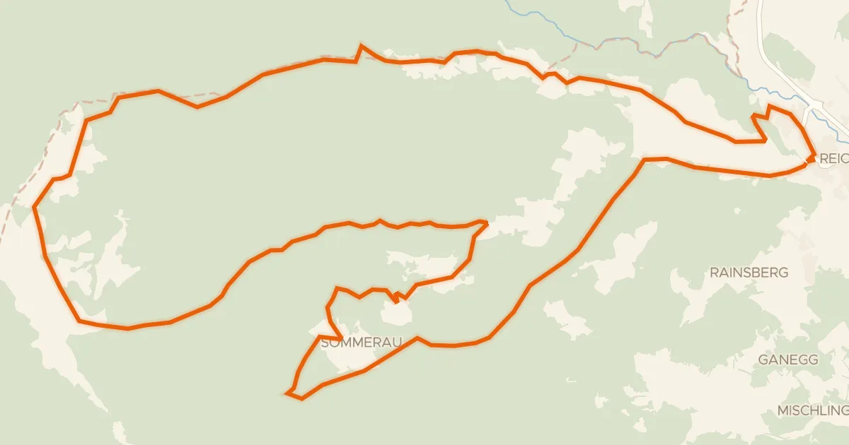
Feldalm - Rundtour
32 km↑ 1,177 m21 km away

Gravel40% paved
Rondje Drau en Völkermarkter Stausee
60 km↑ 840 m25 km away

Gravel58% paved
Rondje langs de Drau en de Völkermarkter Stausee
62 km↑ 996 m30 km away
Touring87% paved
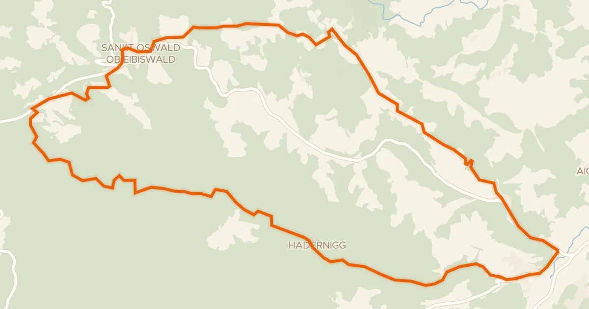
Haderniggtour
22 km↑ 711 m33 km away
Road bike95% paved
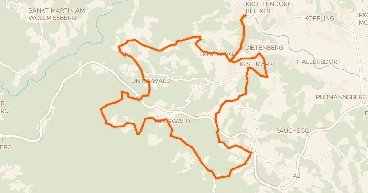
Ligister Tour
36 km↑ 1,197 m33 km away