Back to the librarykm 0–2km 2–2km 4–5km 5–7km 14–22km 22–23km 30–41km 51–54km 56–56
GravelMade by RouteCasterRound trip
Rondje Schloß Thalhof en Mur
Distance
60 km
Ascent
2,599 m
Highest point
1,439 m
27% paved
Start from your location
Ride there from home: we find the shortest way to the loop and start the loop from there.
The ride
Roll out of Sankt Michael in Obersteiermark and let the ride unfold: the route soon follows the Liesing river, then climbs past Schloß Thalhof castle before meeting the Mur river. Of the 59.5 km, most run unpaved, and the elevation gain of 2599 m keeps the legs honest. Rivers, a castle and a lot of climbing — then back to where you started.
Climbs
Climb 1Cat. 3
1.6 km at 11.1% · max 38.7%
Climb 2Hill
0.3 km at 10.2% · max 14.5%
Climb 3Hill
1.2 km at 5% · max 18.3%
Climb 4Cat. 3
2.1 km at 8.6% · max 24.9%
Climb 5Cat. 1
7.6 km at 8.8% · max 23.2%
Climb 6Hill
0.3 km at 17.2% · max 25.3%
Climb 7HC
10.7 km at 8.7% · max 41.1%
Climb 8Cat. 3
3.1 km at 6.8% · max 36.7%
Climb 9Hill
0.4 km at 7.9% · max 17.6%
Routes nearby

Gravel19% paved
Rondje Schloss Weyer en Tiebersee
59 km↑ 3,110 m21 km away
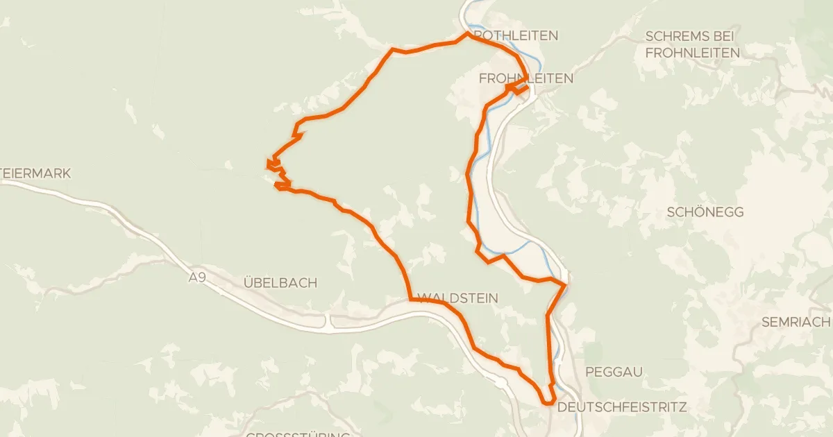
Touring91% paved
Schenkenberg Tour
33 km↑ 761 m23 km away

Gravel28% paved
Langs Burgruine Rein en Schloss Thinnfeld
60 km↑ 2,473 m26 km away
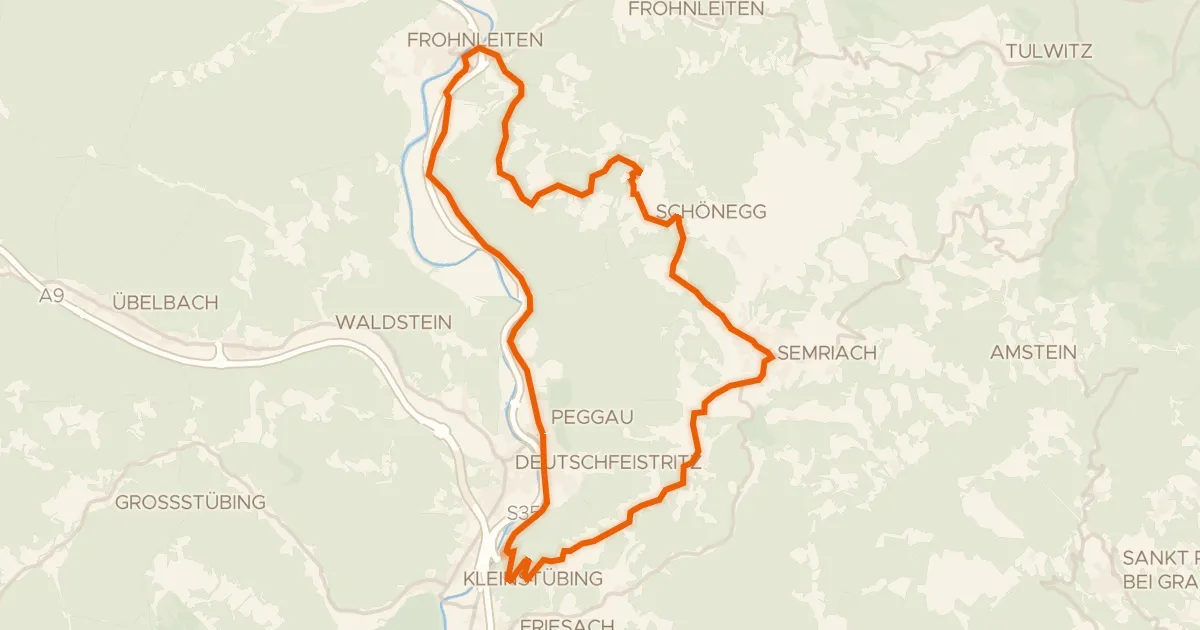
Road bike100% paved
Lurgrotten Tour
35 km↑ 851 m29 km away
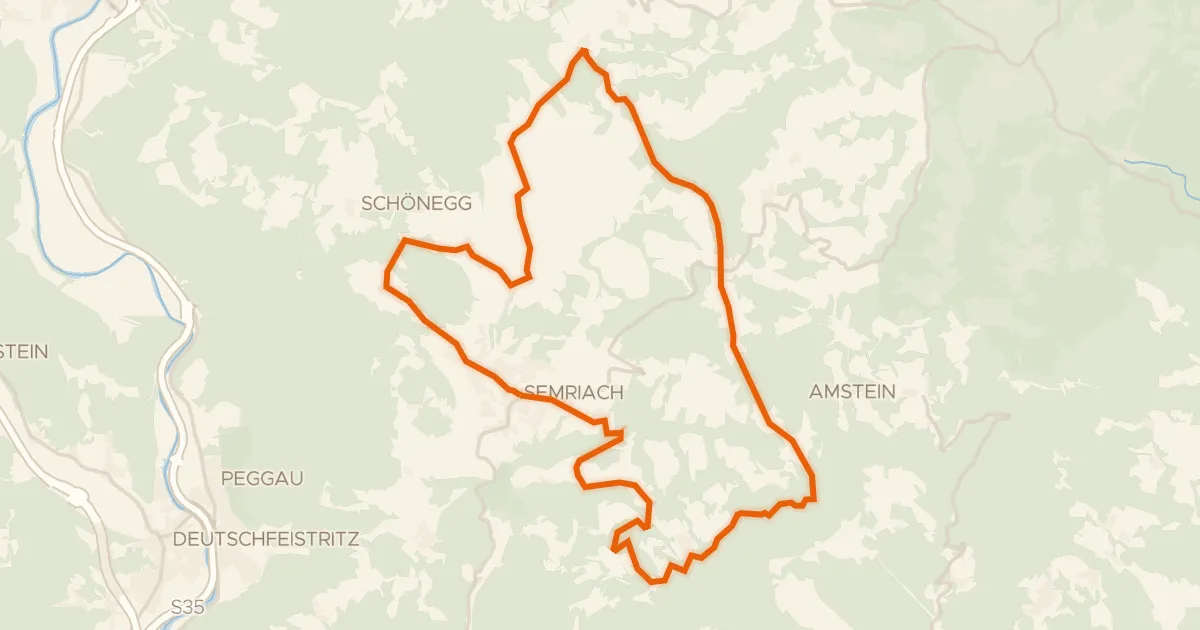
Road bike100% paved
Semriacher Tour
27 km↑ 785 m32 km away
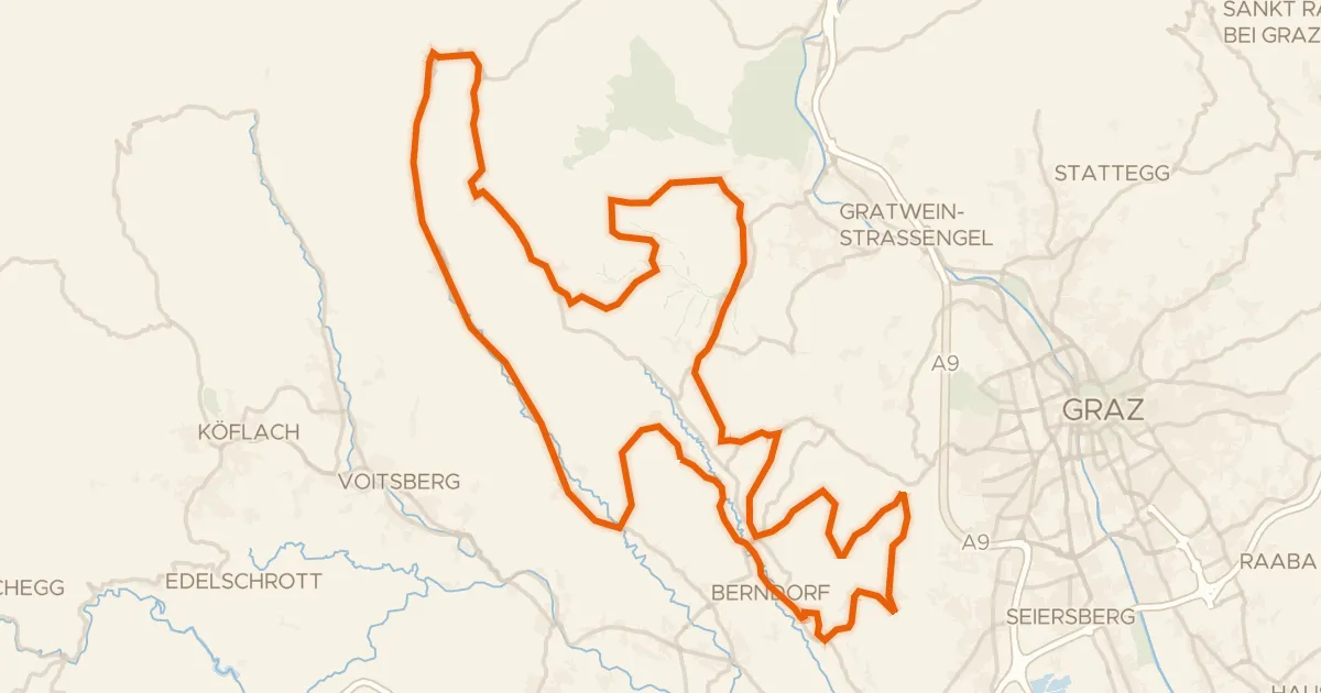
Road bike99% paved
10 vor Graz Genusstour
94 km↑ 2,075 m33 km away