Back to the librarykm 13 · Feb 2026 · © gzin / Mapillary, CC BY-SA km 65 · Apr 2020 · © schu_r / Mapillary, CC BY-SA km 83 · Feb 2026 · © gzin / Mapillary, CC BY-SA km 0–2km 4–6km 21–22km 22–28km 32–33km 41–47
Road bikeMade by RouteCasterRound trip
Hills between Randegg and Scheibbs
Distance
89 km
Ascent
1,529 m
Highest point
751 m
100% paved
Start from your location
Ride there from home: we find the shortest way to the loop and start the loop from there.
The ride
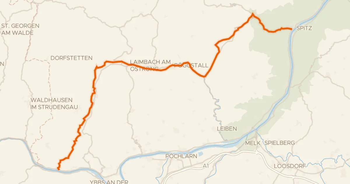
From Purgstall the route rolls out past Steghof castle and follows the Erlauf river into the hills. Two ruined castles, Reinsberg and Randegg, break up the climbing before the Ybbs river takes over. Later you pass Schloss Leutzmannsdorf and the Kleine Erlauf on the way back to Purgstall. All 88.6 km are paved, with 1529 m of elevation gain along the way.
Along the way
Climbs
Climb 1Cat. 4
2.2 km at 5.2% · max 11.8%
Climb 2Hill
2.1 km at 3.6% · max 10.5%
Climb 3Hill
0.9 km at 4.5% · max 14.1%
Climb 4Cat. 2
5.5 km at 5.9% · max 19.5%
Climb 5Cat. 4
0.9 km at 11.2% · max 22.2%
Climb 6Cat. 3
6.3 km at 4% · max 14.2%
Routes nearby

Road bike100% paved
Castles along the Pielach
84 km↑ 1,435 m18 km away

Road bike99% paved
Castles between Kilb and Weinburg
76 km↑ 1,130 m22 km away
Touring88% paved
Südliches Waldviertel
55 km↑ 918 m26 km away

Gravel49% paved
Waterside loop between Gölsen and Traisen
65 km↑ 1,876 m31 km away

Road bike100% paved
Climbs between Weinsberger Wald and Dimbach
75 km↑ 1,534 m32 km away

Road bike100% paved
Rivers between Ybbs and Url
80 km↑ 1,031 m33 km away